2020s Maps of Tilton, New Hampshire
Explore 6 historic maps of Tilton from the 2020s. These maps offer a rare glimpse into what life looked like during the 2020s — showing old roads, neighborhoods, homes, and landmarks that have changed or disappeared over time.
Whether you're researching your family's past, planning a metal detecting trip, or studying how Tilton's landscape evolved across the 2020s, these high-resolution maps are a powerful tool for exploring the history of this region.
- Focus on a specific era: All maps on this page are from the 2020s, giving you a focused view of this time period.
- See what’s changed: Compare century-old streets, trails, and buildings to today's modern landscape using overlays and satellite layers.
- Research with precision: Use these maps for genealogy, historical research, land use analysis, or educational projects.
- View, download, or print: Maps are fully viewable online in high resolution, and can be downloaded or printed for your own records.
Start exploring Tilton's history through authentic maps from the 2020s. This is your window into the past.
Tilton, NH maps
(6)- 2021 Map of Winnisquam Lake, 2021 Print
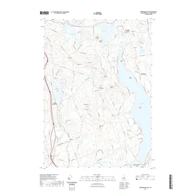 2021 Winnisquam Lake2021 Print · USGSCovers Tilton, including Laconia, Belmont, and other nearby areas
 - 2021 Map of Northfield, 2021 Print
 2021 Northfield2021 Print · USGSCovers Tilton, including Franklin, Belmont, and other nearby areas
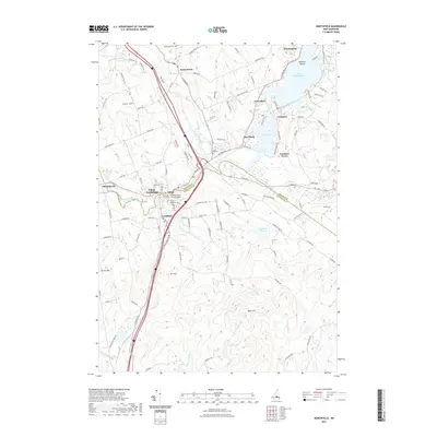
 - 2021 Map of Franklin, 2021 Print
 2021 Franklin2021 Print · USGSCovers Tilton, including Franklin, Northfield, and other nearby areas
 - 2024 Map of Winnisquam Lake, 2024 Print
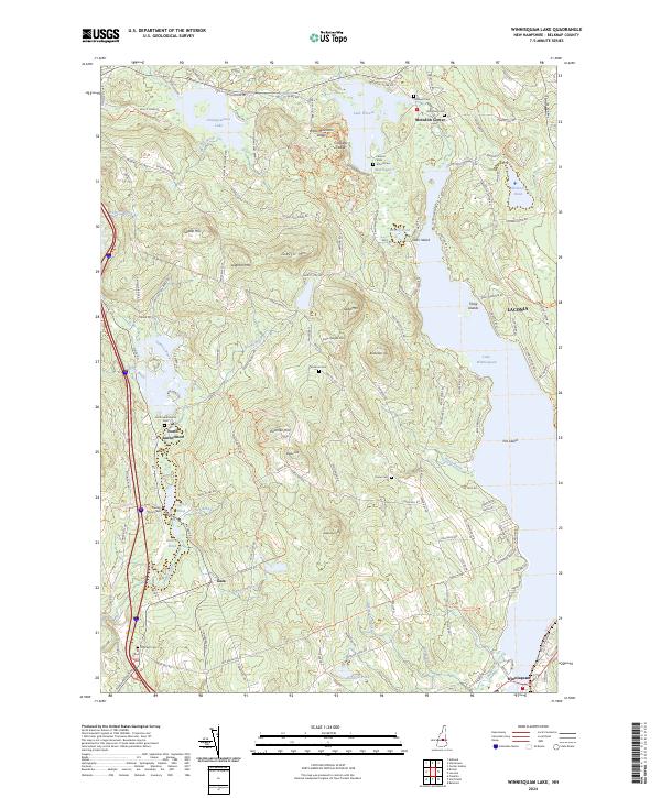 2024 Winnisquam Lake2024 Print · USGSThe Belknap County lake country appears in great detail in this contemporary study of its rolling hills and shorelines. Researchers can trace historic family burial sites like North Sanbornton Cem or locate the small rural crossroads of Gaza and Meredith Center.
 - 2024 Map of Northfield, 2024 Print
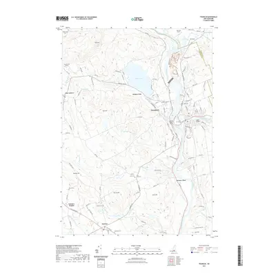
 2024 Northfield2024 Print · USGSMerrimack and Belknap counties come together at the river-powered hubs of Tilton and Northfield in this modern topographical study. Family historians can locate dozens of burial sites like Joshua Lane Burial Ground and Arch Hill Cem or trace the path of the Railroad Trl.
 - 2024 Map of Franklin, 2024 Print
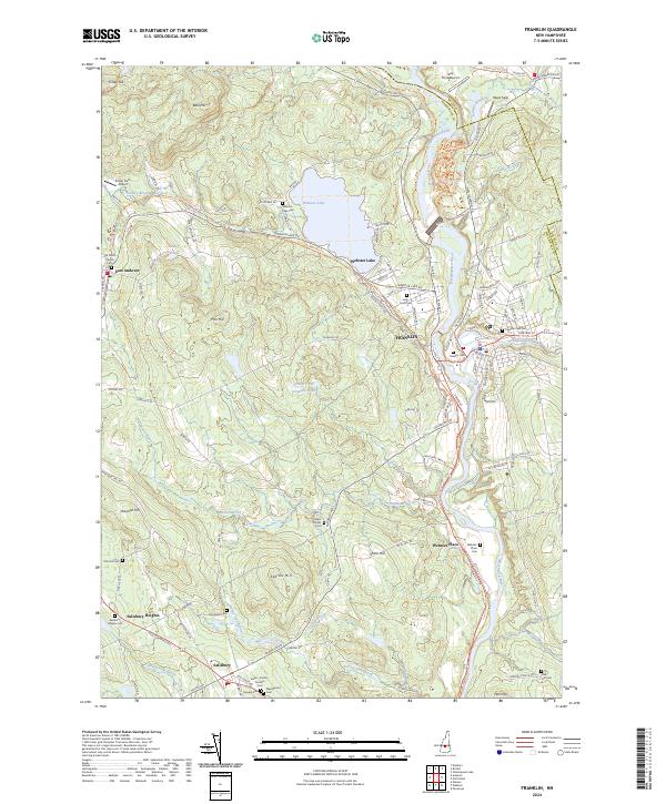 2024 Franklin2024 Print · USGSThe headwaters of the Merrimack River meet in the mid-2020s, showing where industrial roots and modern recreation intersect. Trace genealogy at Old North Church Cem or follow the historic rail corridor on the Northern Rail Trl.
End of results
Showing maps 1-6 of 6
Top cities near Tilton
- Concord historical maps
- Laconia historical maps
- Franklin historical maps
- Gilford historical maps
- Pembroke historical maps
- Belmont historical maps
See more
Top neighborhoods of Tilton
- The Plains historical maps
- East Tilton historical maps
- Winnisquam historical maps
- Tilton Downtown Historic District historical maps
Frequently asked questions
- What are the different types of historical maps available for Tilton?
- What is the oldest map of Tilton?
- Where can I purchase historical maps of Tilton for my home or office?
- Where can I download high-res historical maps of Tilton?
- Are there historical topographic maps available for Tilton?
- Is there historical aerial imagery available for Tilton?
- Where are historical maps of Tilton sourced from?