2020s Maps of Moultonborough, New Hampshire
Explore 15 historic maps of Moultonborough from the 2020s. These maps offer a rare glimpse into what life looked like during the 2020s — showing old roads, neighborhoods, homes, and landmarks that have changed or disappeared over time.
Whether you're researching your family's past, planning a metal detecting trip, or studying how Moultonborough's landscape evolved across the 2020s, these high-resolution maps are a powerful tool for exploring the history of this region.
- Focus on a specific era: All maps on this page are from the 2020s, giving you a focused view of this time period.
- See what’s changed: Compare century-old streets, trails, and buildings to today's modern landscape using overlays and satellite layers.
- Research with precision: Use these maps for genealogy, historical research, land use analysis, or educational projects.
- View, download, or print: Maps are fully viewable online in high resolution, and can be downloaded or printed for your own records.
Start exploring Moultonborough's history through authentic maps from the 2020s. This is your window into the past.
Moultonborough, NH maps
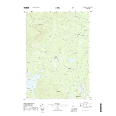
(15)- 2021 Map of Center Harbor, 2021 Print
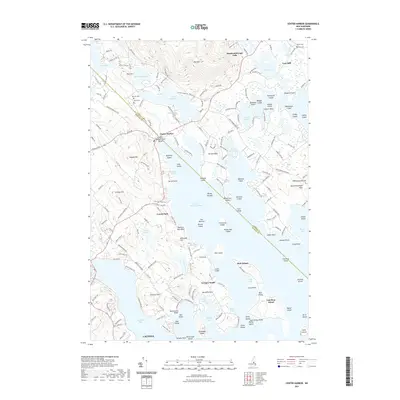 2021 Center Harbor2021 Print · USGSCovers Moultonborough, including Laconia, Gilford, and other nearby areas
 - 2021 Map of Melvin Village, 2021 Print
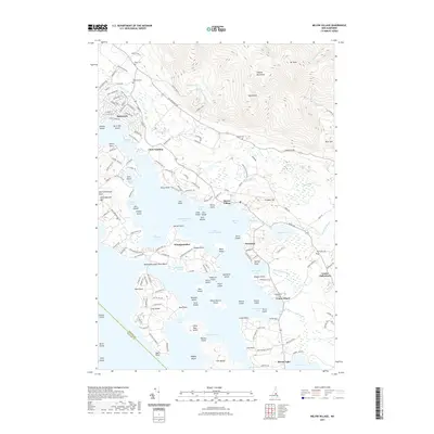 2021 Melvin Village2021 Print · USGSCovers Moultonborough, including Gilford, Meredith, and other nearby areas
 - 2021 Map of Ossipee Lake, 2021 Print
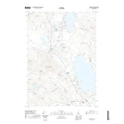 2021 Ossipee Lake2021 Print · USGSCovers Moultonborough, including Ossipee, Tamworth, and other nearby areas
 - 2021 Map of Holderness, 2021 Print
 2021 Holderness2021 Print · USGSCovers Moultonborough, including Meredith, New Hampton, and other nearby areas
 - 2021 Map of Tamworth, 2021 Print
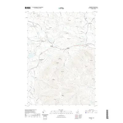 2021 Tamworth2021 Print · USGSCovers Moultonborough, including Ossipee, Tamworth, and other nearby areas
 - 2021 Map of Center Sandwich, 2021 Print
 2021 Center Sandwich2021 Print · USGSCovers Moultonborough, including Sandwich, Sandwich Landing, and other nearby areas
 - 2021 Map of Squam Mountains, 2021 Print
 2021 Squam Mountains2021 Print · USGSCovers Moultonborough, including Campton, Thornton, and other nearby areas
 - 2023 Map of Squam Mountains, 2023 Print
 2023 Squam Mountains2023 Print · USGSCovers Moultonborough, including Campton, Thornton, and other nearby areas
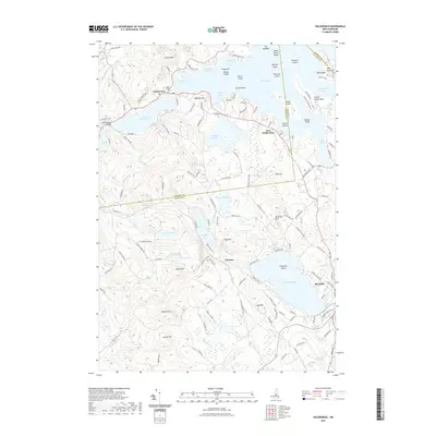
 - 2024 Map of Tamworth, 2024 Print
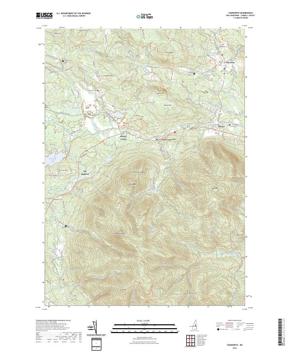 2024 Tamworth2024 Print · USGSThe foothills of the New Hampshire White Mountains meet the lowlands of the Bearcamp River valley in this recent 2024 survey. Family historians can trace local landmarks from Ordination Rock Cem to the rural crossroads of Bennett Corners and East Sandwich.
 - 2024 Map of Ossipee Lake, 2024 Print
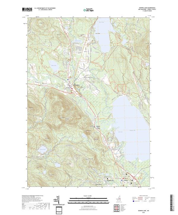 2024 Ossipee Lake2024 Print · USGSThe Lakes Region of New Hampshire is captured here in 2024, showing the established communities and shoreline developments near Ossipee Lake. Researchers can locate numerous local burial sites like Ham Cem and trace the path of the Inactive RR Trl through West Ossipee.
 - 2024 Map of Holderness, 2024 Print
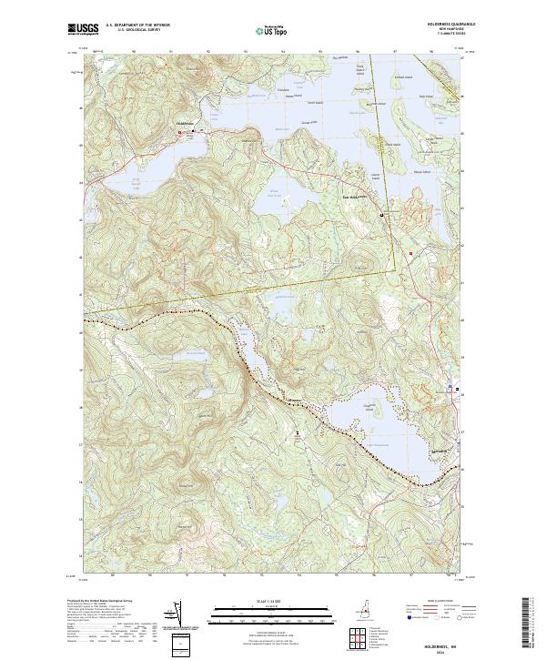 2024 Holderness2024 Print · USGSThe Lakes Region of New Hampshire is shown here in the mid-twenties, tracing the intricate shorelines and island-dotted waters of this interior landscape. Genealogists can locate family sites near Squam Bridge Cem or the rural Robert Smith Cem along the slopes of Beech Hill.
 - 2024 Map of Melvin Village, 2024 Print
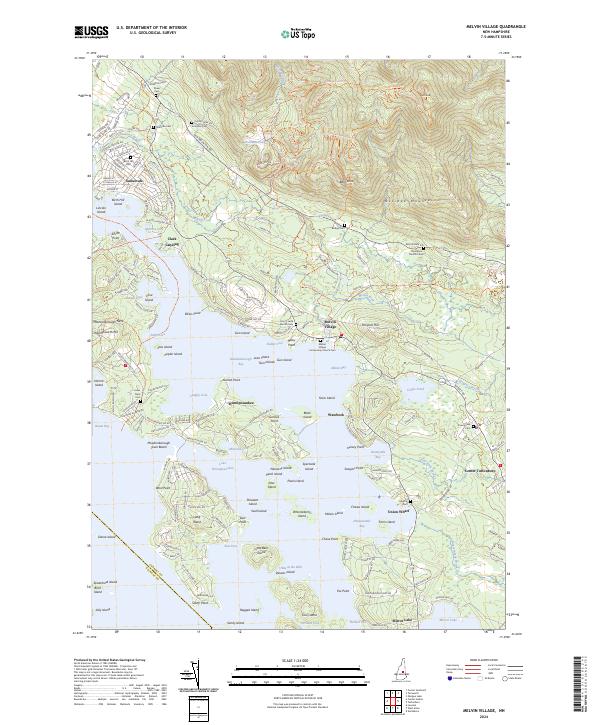 2024 Melvin Village2024 Print · USGSThe northern reaches of Lake Winnipesaukee come into focus during this contemporary survey of the New Hampshire lakes region. Genealogists can locate several family burial sites including Ambrose Cem and Edgerly Cem, alongside historic points like Union Wharf.
 - 2024 Map of Center Harbor, 2024 Print
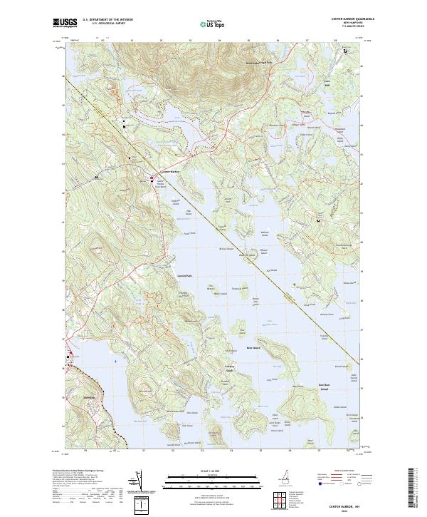 2024 Center Harbor2024 Print · USGSThe Lakes Region of New Hampshire is shown here in modern detail, where the waters of Lake Winnipesaukee meet the rising slopes of Red Hill. Researchers can trace local genealogy through several burial sites like Lakeview Cem and Lee Cem, or explore historic nodes at Lees Mill and Center Harbor.
 - 2024 Map of Squam Mountains, 2024 Print
 2024 Squam Mountains2024 Print · USGSThe peaks and shores of the New Hampshire Lakes Region are shown here during the modern era. Trace legacy shoreline camps at Rockywold or follow the historic Sandwich Notch Road past landmarks like Mt Morgan and the Five Finger Point on Squam Lake.
 - 2024 Map of Center Sandwich, 2024 Print
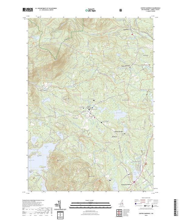 2024 Center Sandwich2024 Print · USGSThe northern shores of Squam Lake and the peaks of the Sandwich Range define this Carroll County landscape in the early 2020s. Researchers can locate historic burial sites like the Baptist Burial Ground or trace the drainage of the Bearcamp River from the White Mountain National Forest.
End of results
Showing maps 1-15 of 15
Top cities near Moultonborough
- Laconia historical maps
- Gilford historical maps
- Belmont historical maps
- Ossipee historical maps
- Tilton historical maps
- Gilmanton historical maps
See more
Top neighborhoods of Moultonborough
- Gilbert Point historical maps
- Lees Mill historical maps
- Long Point historical maps
- Moultonborough Falls historical maps
- Norway point historical maps
- Cooks Point historical maps
See more
Frequently asked questions
- What are the different types of historical maps available for Moultonborough?
- What is the oldest map of Moultonborough?
- Where can I purchase historical maps of Moultonborough for my home or office?
- Where can I download high-res historical maps of Moultonborough?
- Are there historical topographic maps available for Moultonborough?
- Is there historical aerial imagery available for Moultonborough?
- Where are historical maps of Moultonborough sourced from?