Old Maps of Swanzey, New Hampshire for Hiking & Exploration
Hike through history with 48 historic maps of Swanzey. Explore old trails, ghost towns, and forgotten backroads — perfect for outdoor adventurers and local explorers.
- Rediscover forgotten places: Map out old mining camps, roads, and footpaths that no longer exist on modern maps.
- Layer with modern tools: Combine with LiDAR or satellite views to plan hikes through historical terrain.
- Made for exploration: Popular among hikers, overlanders, and local history lovers.
Use these maps to find adventure and explore the hidden past of Swanzey.
Swanzey, NH maps
(48)- 1898 Map of Monadnock
 1898 Monadnock1898 Print · USGSThe peaks and valleys of Southwest New Hampshire are shown here during the late nineteenth-century railroad era. Genealogists and historians can trace the rail-dependent growth of towns like East Jaffrey and locate sites such as Mountain House or the Marlboro Depot.8 unique versions available
 - 1898 Map of Keene
 1898 Keene1898 Print · USGSCheshire County at the turn of the century reveals a landscape defined by the convergence of major rail lines and river industry. Genealogists and historians can trace the early footings of Keene or find vanished details in Westmoreland, Ashuelot, and at the East Putney Sta.7 unique versions available
 - 1932 Map of Keene, 1954 Print
 1932 Keene1954 Print · USGSCheshire County in the early 1930s is a landscape of river-powered mill towns and developing mountain retreats. Local historians can trace the Boston and Maine RR through Keene or find vanished rural landmarks like Meetinghouse Hill and the County Farm.3 unique versions available
 - 1935 Map of Keene
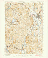 1935 Keene1935 Print · USGSCheshire County in the mid-1930s reveals a network of mill towns and rail junctions centered on the industrial hub of Keene. Genealogists and researchers can trace local landmarks like Meetinghouse Hill, the County Farm, and the Richmond Trout Rearing Station.5 unique versions available
 - 1936 Map of Monadnock
 1936 Monadnock1936 Print · USGSCheshire County in the mid-thirties is a landscape of high summits and quiet mill towns connected by the rail and river. Genealogists and hikers can trace old homesteads near Bowkerville or follow the route to the Fire Lookout atop Monadnock Mtn.4 unique versions available
 - 1942 Map of Keene
 1942 Keene1942 Print · USGSCheshire County at the start of the war shows a landscape of busy river valleys and upland farms. You can trace the path of the Boston & Maine RR through towns like Westmoreland and find old district landmarks like Sch No 10 or the Rand Cem.
 - 1948 Map of Albany, 1951 Print
 1948 Albany1951 Print · USGSThe Hudson and Connecticut River valleys are captured here in the late 1940s, showing the vital rail and water corridors of the Northeast. You can trace the Boston and Maine tracks past Mt Greylock or locate early settlements like Great Barrington and Bennington.
 - 1949 Map of Monadnock
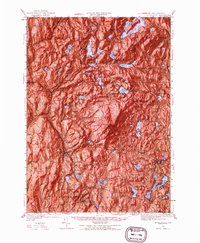 1949 Monadnock1949 Print · USGSCheshire County at the end of the 1940s is defined by the high peak of Monadnock Mtn and its many hiking paths. Genealogists and hikers can trace old rail lines like the Boston and Maine and find local landmarks such as Roxbury Sch and Hallway House.10 unique versions available
 - 1956 Map of Albany, 1968 Print
 1956 Albany1968 Print · USGSThe industrial heart of the Northeast is revealed in the mid-1950s, from the Hudson Valley to the Connecticut River. Researchers can trace the legacy of the Quabbin Reservoir, locate Westover Air Force Base, or follow the Rutland RR through the Green Mountains.2 unique versions available
 - 1957 Map of Albany
 1957 Albany1957 Print · USGSThe Tri-State region and Connecticut River Valley are captured here during a period of significant postwar growth and infrastructure expansion. Genealogists and historians can trace the rail-and-river economy through landmarks like the Boston and Maine railroad, Quabbin Reservoir, and Westover Air Force Base.
 - 1958 Map of Keene, 1960 Print
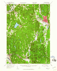 1958 Keene1960 Print · USGSCheshire County centers on Keene during the mid-twentieth century, showing a landscape shaped by the Ashuelot River and rail industry. Genealogists and historians can locate rural landmarks like Mt Caesar Sch, the rail junction at Dole Junction, and old family-named sites from Westmoreland to Richmond.3 unique versions available
 - 1959 Map of Albany
 1959 Albany1959 Print · USGSThe Hudson and Connecticut River valleys are captured here during the late fifties, showing the region's dense rail networks and massive water projects. Researchers can trace the New York State Thruway or locate local landmarks like Mt Greylock and the Quabbin Reservoir.
 - 1962 Map of Albany
 1962 Albany1962 Print · USGSThe Hudson and Connecticut River valleys meet the Green Mountains and Berkshires in this mid-century overview of the Northeast. Genealogists and historians can trace the industrial hearts of Albany and Springfield or locate features like Quabbin Reservoir and Westover Air Force Base.
 - 1984 Map of Keene
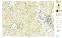 1984 Keene1984 Print · USGSCheshire County is captured in the mid-eighties as a hub of education and transit, centered on the growing city of Keene. Genealogists and historians can trace the Boston and Maine rail corridor, the grounds of St Josephs Cem, and landmarks like Goose Pond.2 unique versions available
 - 1984 Map of Monadnock Mountain
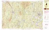 1984 Monadnock Mountain1984 Print · USGSCheshire County in the 1980s remains a landscape of prominent peaks and rail-connected valley towns. Genealogists and hikers can trace the geography of Troy, Fitzwilliam, and Jaffrey Center alongside the trails of Monadnock State Park.2 unique versions available
 - 1984 Map of Marlborough
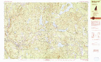 1984 Marlborough1984 Print · USGSCheshire County at the start of the eighties reveals a classic New England mix of mill villages and mountain ridges. Genealogists and local historians can trace legacy sites like Pine Grove Cemetery, St Francis Church, and the distinctive Dublin Spire.2 unique versions available
 - 1984 Map of Winchester
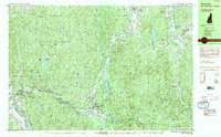 1984 Winchester1984 Print · USGSCheshire County in the 1980s is defined by the industrial Ashuelot River corridor and the vast woods of Pisgah State Park. Genealogists and historians can locate Evergreen Cem, the historic Meetinghouse Hill, and old rail junctions like Dole Junction.2 unique versions available
 - 1986 Map of Keene
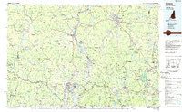 1986 Keene1986 Print · USGSThe tri-state borderlands of the Connecticut River Valley come alive in this mid-eighties survey of southern Vermont, New Hampshire, and Massachusetts. Genealogists and historians can trace rail-era villages like Ashuelot and Millers Falls alongside landmarks like Marlboro College and Monadnock Mountain.3 unique versions available
 - 1998 Map of Marlborough, 2002 Print
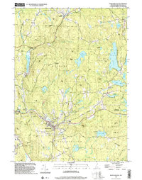 1998 Marlborough2002 Print · USGSCheshire County at the close of the millennium shows a landscape of small mill villages and dense forests. Genealogists can trace family sites at Meetinghouse Cem or Pine Grove Cem and locate landmarks from the County Fairground to Harrisville.
 - 1998 Map of Keene, 2002 Print
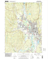 1998 Keene2002 Print · USGSKeene and the Ashuelot River valley are shown in the late twentieth century as the city expanded southward toward the airport. Genealogists can locate family sites at Monadnock View Cem or trace local landmarks like the Covered Bridge and the Daniels Sch.
 - 1998 Map of Hinsdale, 2002 Print
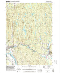 1998 Hinsdale2002 Print · USGSThe Ashuelot River valley and the Pisgah Mountain Range define this southwestern New Hampshire landscape at the close of the twentieth century. Researchers can trace the Vermont Central RR line near Hinsdale or locate landmarks like St Josephs Ch and Meetinghouse Hill.
 - 1998 Map of Troy, 2002 Print
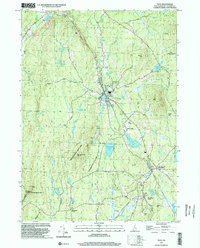 1998 Troy2002 Print · USGSCheshire County at the end of the millennium shows a landscape defined by state forests and historic rail corridors. Researchers can trace the Old Railroad Grade past Fitzwilliam Depot or locate landmarks like the Emerson Sch.
 - 1998 Map of West Swanzey, 2002 Print
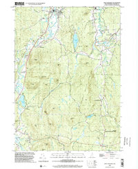 1998 West Swanzey2002 Print · USGSSwanzey and Richmond are shown in the late 1990s as the New Hampshire landscape balances residential growth with large conservation tracts. Trace local genealogy and landmarks through Mt Caesar Cem, the Cutler Sch, and the shoreline of Swanzey Lake.
 - 2012 Map of Troy, 2012 Print
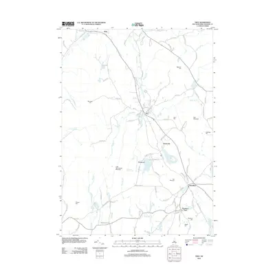 2012 Troy2012 Print · USGSCheshire County at the start of the 2010s shows a landscape of clustered villages and high New Hampshire peaks. Genealogists and historians can trace the geography of Fitzwilliam Depot, the Bellows Falls Canal, and landmarks like Gap Mountain.
 - 2012 Map of Hinsdale, 2012 Print
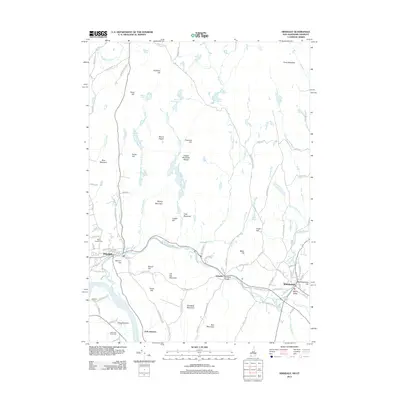 2012 Hinsdale2012 Print · USGSHinsdale and the Ashuelot River valley are shown in the early twenty-first century, highlighting the transition from river-side industry to rural conservation. Researchers can trace local heritage at Saint Josephs Cem or locate the historic Ashuelot Bridge and Blodgett Airport.
Showing maps 1-25 of 48
Top cities near Swanzey
- Keene historical maps
- Athol historical maps
- Winchendon historical maps
- Orange historical maps
- Rindge historical maps
- Winchester historical maps
See more
Top neighborhoods of Swanzey
- Westport historical maps
- Joslin historical maps
- Spragueville historical maps
- Swanzey Station historical maps
- East Swanzey historical maps
- North Swanzey historical maps
See more
Frequently asked questions
- What are the different types of historical maps available for Swanzey?
- What is the oldest map of Swanzey?
- Where can I purchase historical maps of Swanzey for my home or office?
- Where can I download high-res historical maps of Swanzey?
- Are there historical topographic maps available for Swanzey?
- Is there historical aerial imagery available for Swanzey?
- Where are historical maps of Swanzey sourced from?