2000s (21st Century) Maps of Westmoreland, New Hampshire
Explore 25 historic maps of Westmoreland from the 2000s (21st Century). These maps offer a rare glimpse into what life looked like during the 2000s — showing old roads, neighborhoods, homes, and landmarks that have changed or disappeared over time.
Whether you're researching your family's past, planning a metal detecting trip, or studying how Westmoreland's landscape evolved across the 2000s, these high-resolution maps are a powerful tool for exploring the history of this region.
- Focus on a specific era: All maps on this page are from the 2000s, giving you a focused view of this time period.
- See what’s changed: Compare century-old streets, trails, and buildings to today's modern landscape using overlays and satellite layers.
- Research with precision: Use these maps for genealogy, historical research, land use analysis, or educational projects.
- View, download, or print: Maps are fully viewable online in high resolution, and can be downloaded or printed for your own records.
Start exploring Westmoreland's history through authentic maps from the 2000s. This is your window into the past.
Westmoreland, NH maps
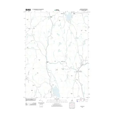
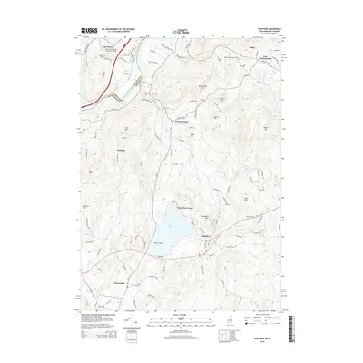
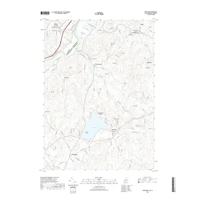
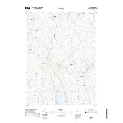
(25)- 2012 Map of Putney, 2012 Print
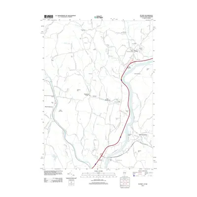 2012 Putney2012 Print · USGSCovers Westmoreland, including Brattleboro, Chesterfield, and other nearby areas
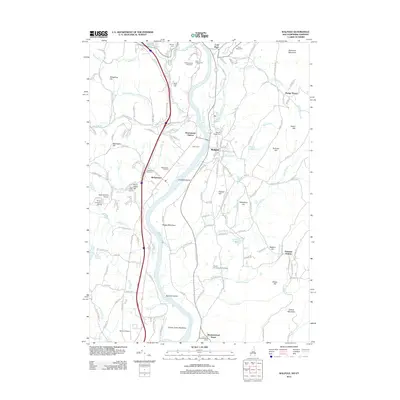
 - 2012 Map of Spofford, 2012 Print
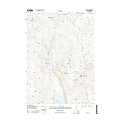
 2012 Spofford2012 Print · USGSCovers Westmoreland, including Keene, Chesterfield, and other nearby areas
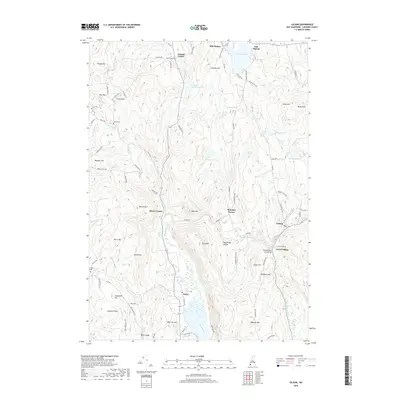
 - 2012 Map of Keene, 2012 Print
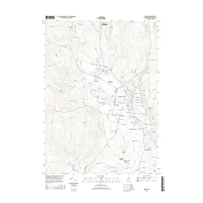
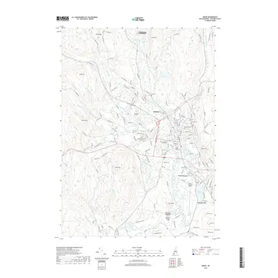
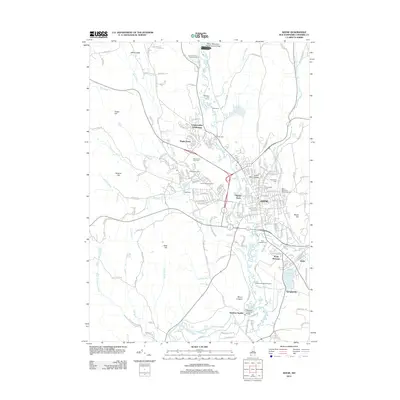 2012 Keene2012 Print · USGSCovers Westmoreland, including Keene, Swanzey, and other nearby areas
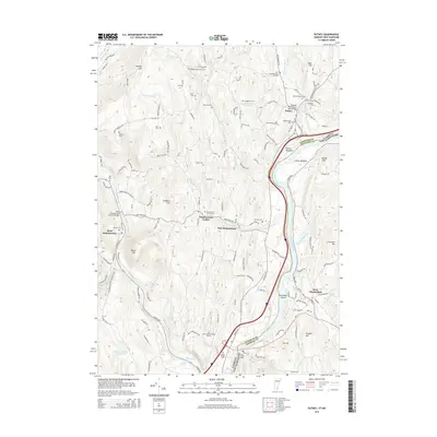
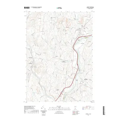
 - 2012 Map of Walpole, 2012 Print
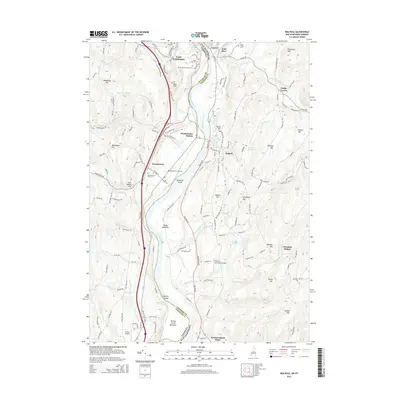
 2012 Walpole2012 Print · USGSCovers Westmoreland, including Walpole, Westminster, and other nearby areas
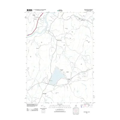
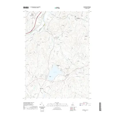
 - 2012 Map of Gilsum, 2012 Print
 2012 Gilsum2012 Print · USGSCovers Westmoreland, including Walpole, Alstead, and other nearby areas
 - 2015 Map of Gilsum, 2015 Print
 2015 Gilsum2015 Print · USGSCovers Westmoreland, including Walpole, Alstead, and other nearby areas
 - 2015 Map of Walpole, 2015 Print
 2015 Walpole2015 Print · USGSCovers Westmoreland, including Walpole, Westminster, and other nearby areas
 - 2015 Map of Keene, 2015 Print
 2015 Keene2015 Print · USGSCovers Westmoreland, including Keene, Swanzey, and other nearby areas
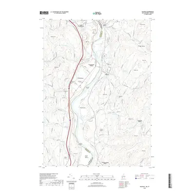
 - 2015 Map of Spofford, 2015 Print
 2015 Spofford2015 Print · USGSCovers Westmoreland, including Keene, Chesterfield, and other nearby areas
 - 2015 Map of Putney, 2015 Print
 2015 Putney2015 Print · USGSCovers Westmoreland, including Brattleboro, Chesterfield, and other nearby areas
 - 2018 Map of Walpole, 2018 Print
 2018 Walpole2018 Print · USGSCovers Westmoreland, including Walpole, Westminster, and other nearby areas
 - 2018 Map of Gilsum, 2018 Print
 2018 Gilsum2018 Print · USGSCovers Westmoreland, including Walpole, Alstead, and other nearby areas
 - 2018 Map of Spofford, 2018 Print
 2018 Spofford2018 Print · USGSCovers Westmoreland, including Keene, Chesterfield, and other nearby areas
 - 2018 Map of Putney, 2018 Print
 2018 Putney2018 Print · USGSCovers Westmoreland, including Brattleboro, Chesterfield, and other nearby areas
 - 2018 Map of Keene, 2018 Print
 2018 Keene2018 Print · USGSCovers Westmoreland, including Keene, Swanzey, and other nearby areas
 - 2021 Map of Walpole, 2021 Print
 2021 Walpole2021 Print · USGSCovers Westmoreland, including Walpole, Westminster, and other nearby areas
 - 2021 Map of Gilsum, 2021 Print
 2021 Gilsum2021 Print · USGSCovers Westmoreland, including Walpole, Alstead, and other nearby areas
 - 2021 Map of Spofford, 2021 Print
 2021 Spofford2021 Print · USGSCovers Westmoreland, including Keene, Chesterfield, and other nearby areas
 - 2021 Map of Keene, 2021 Print
 2021 Keene2021 Print · USGSCovers Westmoreland, including Keene, Swanzey, and other nearby areas
 - 2021 Map of Putney, 2021 Print
 2021 Putney2021 Print · USGSCovers Westmoreland, including Brattleboro, Chesterfield, and other nearby areas
 - 2024 Map of Keene, 2024 Print
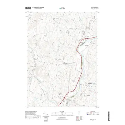
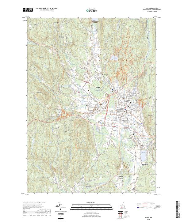 2024 Keene2024 Print · USGSKeene and the Ashuelot River valley are shown in the 2020s, balancing its role as a regional collegiate hub with its deep industrial roots. Researchers can trace historic corridors like the Old B&M Railroad, find ancestors at Woodland Cem, or locate landmarks such as the Cheshire County Courthouse.
 - 2024 Map of Spofford, 2024 Print
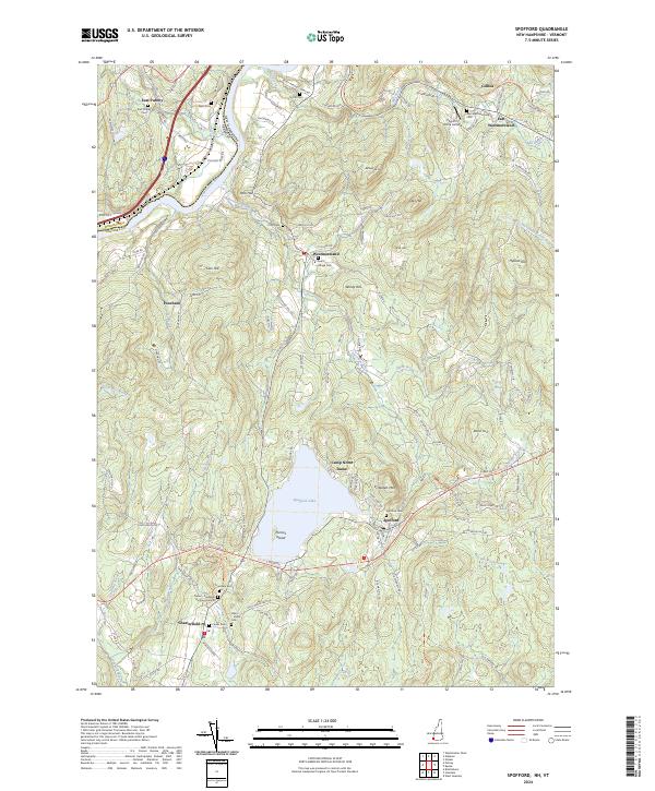 2024 Spofford2024 Print · USGSThe Connecticut River valley and the highlands of Chesterfield are shown here in modern detail. Researchers can trace family history through sites like Spofford Cem or the old Cheshire Rec Rail Trl that winds through Westmoreland.
 - 2024 Map of Walpole, 2024 Print
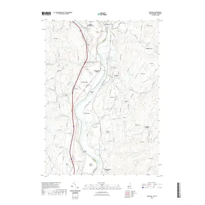
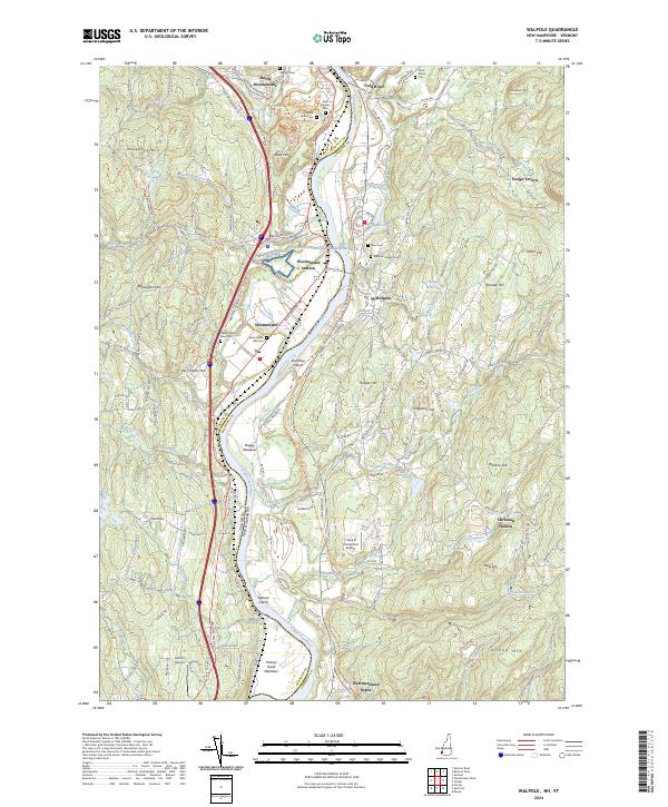 2024 Walpole2024 Print · USGSThe river valley border between Vermont and New Hampshire is shown here in modern detail, capturing the enduring landscape of the Upper Connecticut River. Researchers can trace historic family names and sites at Dodge Tavern, Westminster Old Cem, and the Cheshire Rec Rail Trl.
 - 2024 Map of Putney, 2024 Print
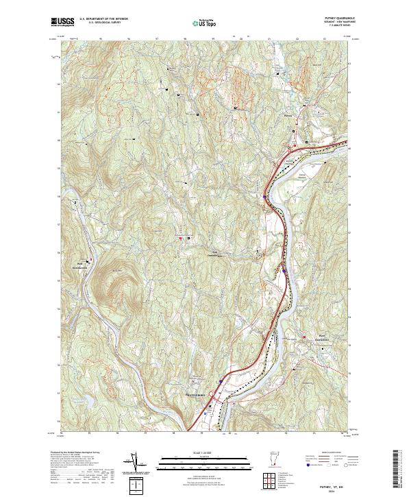 2024 Putney2024 Print · USGSThe Connecticut River valley in the contemporary era maintains its historical character, from the village of Putney to the river meadows. Genealogists can trace local history through nearly a dozen burial grounds, including Old North Burying Ground and Kathan Cem.
 - 2024 Map of Gilsum, 2024 Print
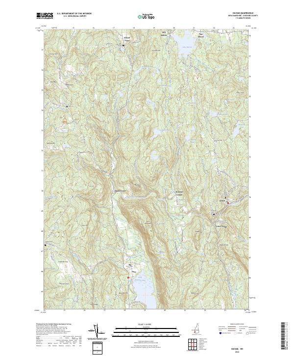 2024 Gilsum2024 Print · USGSCheshire County at the start of the 2020s shows a landscape where historic valley settlements and upland heights meet. Genealogists can trace family sites near Gilsum Village Cem, while hikers and historians can locate Mine Ledge and Pratts Rock.
End of results
Showing maps 1-25 of 25
Top cities near Westmoreland
- Keene historical maps
- Brattleboro historical maps
- Swanzey historical maps
- Brockways Mills historical maps
- Winchester historical maps
- Walpole historical maps
See more
Top neighborhoods of Westmoreland
- Gilboa historical maps
- Poocham historical maps
- East Westmoreland historical maps
- Westmoreland Depot historical maps
Frequently asked questions
- What are the different types of historical maps available for Westmoreland?
- What is the oldest map of Westmoreland?
- Where can I purchase historical maps of Westmoreland for my home or office?
- Where can I download high-res historical maps of Westmoreland?
- Are there historical topographic maps available for Westmoreland?
- Is there historical aerial imagery available for Westmoreland?
- Where are historical maps of Westmoreland sourced from?