Old Maps of Milan, New Hampshire for Metal Detecting
Plan your next treasure hunt with 31 historic maps of Milan. Find old homesites, ghost towns, trails, and gathering spots that may be lost to time — perfect for identifying promising metal detecting locations.
- Locate forgotten sites: Uncover places like long-lost settlements, abandoned rail lines, or gathering spots.
- Plan better hunts: Use map overlays combined with LiDAR or satellite views to narrow in on historically rich areas.
- Made for detectorists: Thousands of hobbyists use these maps to discover relics, coins, and hidden history.
Use these historic maps to boost your research and find new opportunities beneath the surface of Milan.
Milan, NH maps
(31)- 1930 Map of Milan, 1952 Print
 1930 Milan1952 Print · USGSThe upper Androscoggin River valley is captured here in the early thirties, showing a rugged landscape of timber ridges and river-fed settlements. Genealogists can locate several local schools such as Jewett Sch and the rail-side village of Milan.3 unique versions available
 - 1930 Map of Percy, 1953 Print
 1930 Percy1953 Print · USGSCoos County at the start of the thirties centers on the river valleys and rail lines of the North Country. Genealogists can trace the rural schoolhouses of Blake Sch and Hodgdon Hill Sch or locate family landmarks like Beach Hill and Cummings Mtn.5 unique versions available
 - 1933 Map of Milan, 1940 Print
 1933 Milan1940 Print · USGSCoos County at the start of the 1930s shows a landscape of timbered peaks and river-valley settlements connected by the Grand Trunk. Genealogists can locate several rural schools like Jewett Sch and Milan Hill Sch alongside the Berlin Landing Field.
 - 1934 Map of Percy
 1934 Percy1934 Print · USGSCoos County, New Hampshire, is shown in the mid-1930s as a landscape of timber camps and isolated valley settlements. Genealogists and historians can locate rural landmarks like the Emerson Sch, the remote Lost Nation community, and the Grand Trunk rail line.3 unique versions available
 - 1934 Map of Milan
 1934 Milan1934 Print · USGSThe northern New Hampshire timberlands near Milan and the Maine border are seen here in the mid-1930s. Genealogists and hikers can trace the original Mahoosuc Trail or locate vanished rural schoolhouses like Hamlin Sch and Pontook Sch.2 unique versions available
 - 1950 Map of Lewiston
 1950 Lewiston1950 Print · USGSThe Maine and New Hampshire borderlands come alive in this post-war survey of the White Mountains and Androscoggin valley. Genealogists and historians can trace rail lines like the Maine Central Railroad and find high-altitude landmarks from Mount Washington to Bretton Woods.2 unique versions available
 - 1956 Map of Lewiston, 1975 Print
 1956 Lewiston1975 Print · USGSThe Northern New England interior is documented here in the mid-fifties, from the industrial Androscoggin River to the high peaks of the White Mountains. Trace the Grand Trunk Railway through mountain passes or locate family landmarks near Sabbathday Lake and Bretton Woods.
 - 1961 Map of Lewiston
 1961 Lewiston1961 Print · USGSWestern Maine and the White Mountains appear here during the early sixties, showing the industrial river towns and vast timberlands before the modern interstate era. Genealogists and historians can trace the Grand Trunk RR through Berlin or locate landmarks like Old Speck Mountain and Elephant Mountain.
 - 1962 Map of Lewiston
 1962 Lewiston1962 Print · USGSThe industrial river valleys and high peaks of Maine and New Hampshire define the region in the early sixties. Trace the rail-and-river network from Lewiston to the White Mountains, passing through mill towns like Berlin and Rumford.
 - 1969 Map of Lewiston
 1969 Lewiston1969 Print · USGSThe northern New England highlands come into focus during the mid-fifties, showing the vital rail and river networks connecting industrial centers to the deep woods. Researchers can trace the path of the Grand Trunk RR or locate landmarks like Mt Washington and Rangeley Lake.
 - 1976 Map of Success Pond, 1983 Print
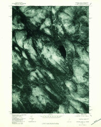 1976 Success Pond1983 Print · USGSThe timbered borderlands between New Hampshire and Maine are captured from the air during the mid-seventies. Researchers can trace the exact 1976 shorelines of Success Pond and the forested slopes of Bald Mountain near Silver Stream.
 - 1986 Map of Groveton
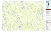 1986 Groveton1986 Print · USGSThe North Country's rugged borderlands come into focus in the mid-1980s, tracing the river-and-rail corridors of the Connecticut River valley. Genealogists and historians can locate family landmarks in North Stratford, Groveton, and Guildhall or trace the Canadian National RR.2 unique versions available
 - 1988 Map of West Milan
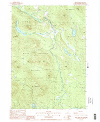 1988 West Milan1988 Print · USGSCoos County’s timber and river landscapes are captured here in the late eighties, centered on the Upper Ammonoosuc River valley. Local historians can trace the remote settlements of Crystal and West Milan, alongside landmarks like the Berlin Fish Hatchery and Cedar Pond.
 - 1988 Map of Success Pond
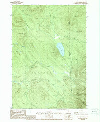 1988 Success Pond1988 Print · USGSThe northern woods of New Hampshire and Maine are captured here in the late 1980s, showing a landscape of timber roads and mountain peaks. You can trace the high-elevation terrain from Success Pond to the rugged Mahoosuc Range and find remote sites like the lakeside Shelter.
 - 1988 Map of Milan
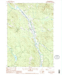 1988 Milan1988 Print · USGSCoos County life in the late eighties centers on the river valleys and timberlands of the White Mountains. Genealogists and historians can trace local family lands near the Androscoggin River, the Milan Hill Lookout Tower, and small settlements like Dummer and Copperville.2 unique versions available
 - 1995 Map of West Milan, 2000 Print
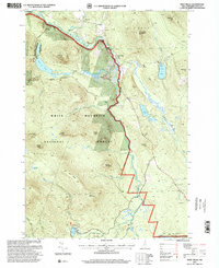 1995 West Milan2000 Print · USGSCoos County, New Hampshire, is captured here in the mid-1990s as a landscape of managed forests and river valley settlements. Genealogists and local historians can trace the areas around West Milan and Crystal, or locate the Berlin Fish Hatchery and numerous landmarks like Rogers Ledge.
 - 2012 Map of Milan, 2012 Print
 2012 Milan2012 Print · USGSCoos County at the start of the 2010s shows a landscape of river-valley industry and upland ridges along the Androscoggin River. Genealogists and locals can trace landmarks from the Berlin Regional Airport to the Berlin Ski Jump and the Milan post office.
 - 2012 Map of Success Pond, 2012 Print
 2012 Success Pond2012 Print · USGSThe backcountry of Coos County is documented here in the early twenty-first century, showing the remote high-ground north of Berlin. Researchers can trace the drainage of Chickwolnepy Stream and locate local landmarks like Success Pond and Bald Mountain.
 - 2012 Map of West Milan, 2012 Print
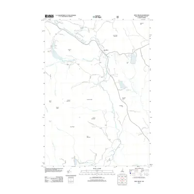 2012 West Milan2012 Print · USGSCoos County land and water are captured here in the early twenty-first century as they surround the mountain settlements of West Milan and Crystal. Tracing the Upper Ammonoosuc River reveals a landscape of family-named peaks like Horn Hill and remote waters such as South Ponds.
 - 2015 Map of Success Pond, 2015 Print
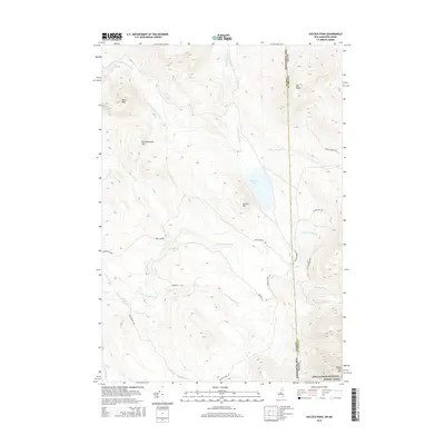 2015 Success Pond2015 Print · USGSThe borderlands of New Hampshire and Maine are captured here in the mid-2010s, showcasing a wild landscape of peaks and water. Hikers and historians can trace the Appalachian National Scenic Trail as it winds past Goose Eye Mtn and the shores of Success Pond.
 - 2015 Map of West Milan, 2015 Print
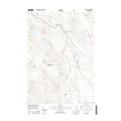 2015 West Milan2015 Print · USGSThe northern Coos County highlands are centered here in the mid-2010s, where the river valleys meet the forest edge. Researchers can trace the network of mountain roads and water features like York Pond, West Milan, and the Upper Ammonoosuc River.
 - 2015 Map of Milan, 2015 Print
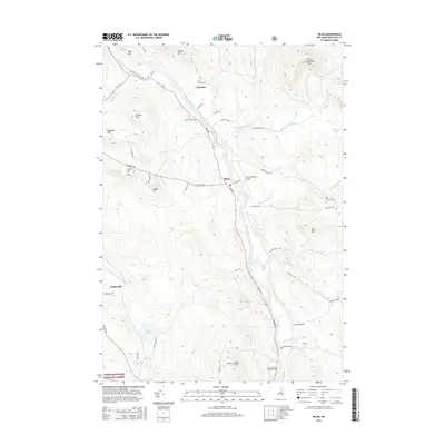 2015 Milan2015 Print · USGSThe Androscoggin River valley in Coos County shows its modern rural character in the mid-2010s. Researchers can trace local landmarks like the Berlin Regional Airport, the settlement of Dummer, and numerous family-named peaks such as Jodrie Hill.
 - 2018 Map of Success Pond, 2018 Print
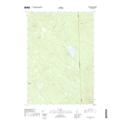 2018 Success Pond2018 Print · USGSThe North Country highlands along the New Hampshire and Maine border are captured here in the late twenty-teens. Researchers can trace the network of timber roads and mountain drainages near Success Pond, Goose Eye Mtn, and the winding Chickwolnepy Stream.
 - 2018 Map of West Milan, 2018 Print
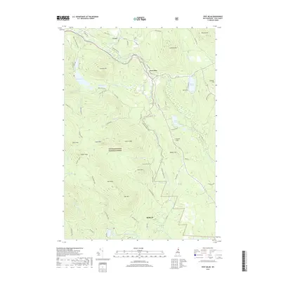 2018 West Milan2018 Print · USGSCoos County’s mountain terrain and river valleys are documented here during the late twenty-teens. Researchers can trace forest management and recreation routes through the White Mountain National Forest while locating regional landmarks like West Milan, Crystal, and Rogers Ledge.
 - 2018 Map of Milan, 2018 Print
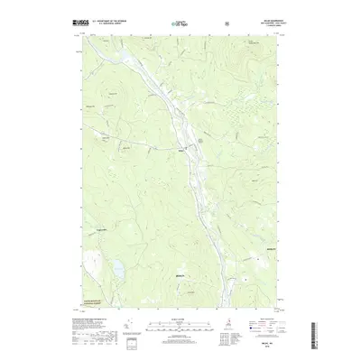 2018 Milan2018 Print · USGSThe upper Androscoggin River valley is documented here in recent years, showing the intersection of Coos County mountain life and modern industry. Researchers can trace land use from the Milan Hill Fire Tower to the village of Milan and the northern outskirts of Berlin.
Showing maps 1-25 of 31
Top cities near Milan
- Berlin historical maps
- Lancaster historical maps
- Gorham historical maps
- Jefferson historical maps
- Carroll historical maps
- Stratford historical maps
See more
Top neighborhoods of Milan
Frequently asked questions
- What are the different types of historical maps available for Milan?
- What is the oldest map of Milan?
- Where can I purchase historical maps of Milan for my home or office?
- Where can I download high-res historical maps of Milan?
- Are there historical topographic maps available for Milan?
- Is there historical aerial imagery available for Milan?
- Where are historical maps of Milan sourced from?