Old Maps of Hudson, New Hampshire for Genealogy
Trace your family roots with 52 historic maps of Hudson. These high-res maps reveal old neighborhoods, homesites, landmarks, and streets — helping you uncover where your ancestors lived and how the area evolved over time.
- Explore historic neighborhoods: Identify where your relatives may have lived in the 1800s or 1900s.
- Compare maps over time: Trace the changes in streets, buildings, and landmarks for multi-generational research.
- Perfect for genealogy & ancestry research: Used by family historians and researchers to map out lineage and migration.
These maps are an incredible resource for exploring your personal connection to Hudson's past.
Hudson, NH maps
(52)- 1886 Map of Lowell
 1886 Lowell1886 Print · USGSThe industrial heart of the Merrimack Valley is captured here in the late nineteenth century, showing the expansion of textile hubs and rail networks. Genealogists and historians can trace family-named hills and early transit stops like Bedford Springs Station, Forge Village, and the Hudson Poor Farm.
 - 1893 Map of Lowell
 1893 Lowell1893 Print · USGSThe Merrimack Valley’s industrial and rail landscape comes alive in the late nineteenth century, centering on the growing city of Lowell. Genealogists and historians can trace old property lines across Pelham, locate the Flat Rock Quarry, or follow the routes of the Stony Brook Railroad through Graniteville.9 unique versions available
 - 1905 Map of Manchester
 1905 Manchester1905 Print · USGSSouthern New Hampshire at the turn of the century reveals a bustling region of river-powered industry and growing rail towns. Genealogists and historians can trace the early footprints of Manchester and Nashua or locate landmarks like Thorntons Ferry and the Londonderry Lithia Spring.4 unique versions available
 - 1918 Map of Lowell
 1918 Lowell1918 Print · USGSGreater Lowell and the Merrimack Valley are shown at their industrial peak during the First World War. Genealogists can trace family connections to mill-town life in Middlesex Village or locate rural landmarks like Flat Rock Quarry and the Old Middlesex Canal.
 - 1921 Map of Lowell
 1921 Lowell1921 Print · USGSThe industrial corridor of the Merrimack Valley is captured here during the early twentieth century, showing the dense urban grid of Lowell alongside rural Middlesex County. Researchers can trace the extensive reach of the Boston and Maine Railroad and locate local landmarks like the Poor Farm or Flat Rock Quarry.
 - 1931 Map of Lowell
 1931 Lowell1931 Print · USGSSouthern New Hampshire and northern Massachusetts met along the river and rail lines in the early thirties. Local researchers can trace family lands near St Marie Convent, the site of Musquash Sch, and the heights of Jeremy Hill.
 - 1935 Map of Lowell
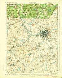 1935 Lowell1935 Print · USGSGreater Lowell and the Merrimack Valley are captured in the mid-1930s, showing a region defined by its industrial riverfront and extensive rail networks. Researchers can trace historic neighborhoods like Wamesit, local landmarks like St Marie Convent, and early industry at Flat Rock Quarry.3 unique versions available
 - 1940 Map of Tyngsoboro
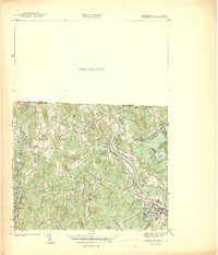 1940 Tyngsoboro1940 Print · USGSMiddlesex County emerges in the era before the post-war suburban boom, centered on the Merrimack River and the Boston and Maine RR. Genealogists can trace family locations at Whidden Corner and Fletcher Cem, or find recreational landmarks like Camp Massapoag.
 - 1941 Map of Manchester
 1941 Manchester1941 Print · USGSSouthern New Hampshire is captured here just before the mid-century boom, showing the river-and-rail corridor between Manchester and Nashua. Researchers can trace old ferry sites like Thorntons Ferry and find vanished rural landmarks like Londonderry Lithia Spring or the Musquash School.3 unique versions available
 - 1941 Map of Tyngsboro
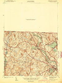 1941 Tyngsboro1941 Print · USGSMiddlesex County communities along the Merrimack River are caught at a point of transition just before the mid-century. Genealogists and local historians can trace family-named crossroads like Frederick Corner and locate the historic Fletcher Quarry or the Central Cem.2 unique versions available
 - 1941 Map of Lowell
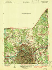 1941 Lowell1941 Print · USGSThe industrial hub of Lowell and the surrounding Middlesex County landscape are captured here just before the Second World War. Researchers can trace historic family burial sites like Oak Grove Cem or locate early civic landmarks including the Lowell Textile Institute and Nickel Mine.2 unique versions available
 - 1942 Map of Tyngsboro
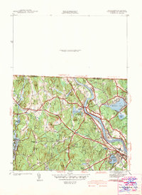 1942 Tyngsboro1942 Print · USGSThe Merrimack River valley and the Massachusetts-New Hampshire border come alive in this pre-war survey of a landscape defined by granite quarries and river islands. Genealogists can trace family landmarks at Frederick Corner, locate historic burials at Central Cem, or find the old Notre Dame Academy.
 - 1943 Map of Lowell
 1943 Lowell1943 Print · USGSCentral New England industrial hubs and rural borderlands are mapped here during the early 1940s. Genealogists can trace family names across Mt Misery, Barrett Hill, and small settlements like Collinsville or North Pelham.
 - 1946 Map of Tyngsboro
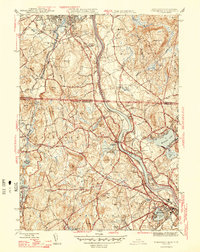 1946 Tyngsboro1946 Print · USGSThe Merrimack River valley in the mid-1940s reveals a landscape of transit and tradition along the Massachusetts-New Hampshire border. Genealogists and historians can trace local family lineages through named landmarks like Frederick Corner or locate old burial sites including Thompson Cem and Sherburne Cem.2 unique versions available
 - 1946 Map of Lowell
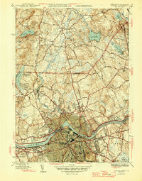 1946 Lowell1946 Print · USGSPost-war Lowell and its New Hampshire borderlands are captured here during a period of transition for the Merrimack Valley's industrial and rural sectors. Researchers can trace the layout of the Lowell Textile Institute or locate family plots at Gibson Cem and Gumpas Cem.2 unique versions available
 - 1948 Map of Boston
 1948 Boston1948 Print · USGSEastern Massachusetts and southern New Hampshire appear at an industrial peak in the late 1940s, just as suburban growth began to accelerate. Genealogists and historians can trace rail lines like the Boston and Albany RR or locate coastal landmarks like Graves Lighthouse and Fort Devens.2 unique versions available
 - 1950 Map of Tyngsboro, 1952 Print
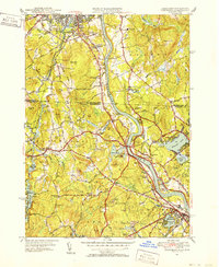 1950 Tyngsboro1952 Print · USGSThe Merrimack River valley at the mid-century mark reveals a landscape of growing towns and academic centers along the New Hampshire border. Researchers can trace old family sites like Frederick Corner, locate the Flat Rock Quarry, or find the Old Dunstable Cem.3 unique versions available
 - 1950 Map of Lowell, 1953 Print
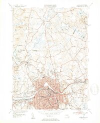 1950 Lowell1953 Print · USGSMid-century Lowell is a bustling center of industry and education at the bend of the Merrimack River. Researchers can trace the era's infrastructure from the Pawtucket Dam to institutions like Keith Academy and the Lowell Textile Institute.4 unique versions available
 - 1953 Map of Windham, 1956 Print
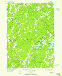 1953 Windham1956 Print · USGSSoutheastern New Hampshire was still largely rural in the mid-1950s as small communities centered around the rails and lakes. Genealogists and local historians can trace family locations near Cobbetts Pond or find landmarks like Windham Depot and the Searles Sch.5 unique versions available
 - 1953 Map of Manchester, 1958 Print
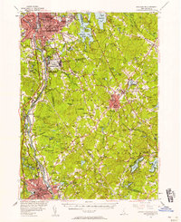 1953 Manchester1958 Print · USGSSouthern New Hampshire thrives in the early fifties as industrial cities and military installations like Grenier Air Force Base anchor the Merrimack Valley. Trace ancestral roots at St Josephs Cem or locate old river crossings like Thorntons Ferry.4 unique versions available
 - 1956 Map of Boston, 1967 Print
 1956 Boston1967 Print · USGSThe Massachusetts coastline and industrial interior are seen here during the mid-century peak of suburban and highway expansion. Researchers can trace historic harbor defenses like Fort Revere, local landmarks such as Faneuil Hall, and the vast Parker River National Wildlife Refuge.6 unique versions available
 - 1958 Map of Boston
 1958 Boston1958 Print · USGSEastern Massachusetts and southern New Hampshire are shown at the height of the industrial era, before the full expansion of the interstate system. Trace coastal defenses at Fort Warren, historic rail lines like the Boston and Maine, and the development of the Mass. 128 corridor.2 unique versions available
 - 1961 Map of Boston
 1961 Boston1961 Print · USGSThe Massachusetts coastline and its industrial interior are detailed here in the mid-twentieth century, from the Monadnock highlands to Cape Cod. Researchers can trace the rail routes of the Boston and Maine or locate landmarks like Fort Devens and the Wachusett Reservoir.2 unique versions available
 - 1965 Map of Nashua South, 1968 Print
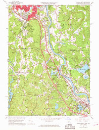 1965 Nashua South1968 Print · USGSThe Merrimack River valley and the expanding outskirts of Nashua come into sharp focus in the mid-sixties. Genealogists and local historians can trace the foundations of Dunstable and Tyngsborough, locating Evergreen Cem and Whidden Corner.7 unique versions available
 - 1966 Map of Lowell, 1968 Print
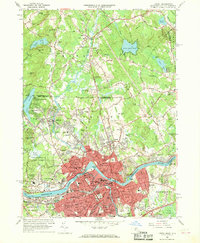 1966 Lowell1968 Print · USGSMid-century Lowell and Dracut are captured here just as the river-based industry was being joined by suburban expansion and interstate connectors. Genealogists and local historians can trace family sites from the Israel Brotherhood Cem to the Lowell Technological Institute and old Middlesex Village.5 unique versions available
Showing maps 1-25 of 52
Top cities near Hudson
- Manchester historical maps
- Lowell historical maps
- Nashua historical maps
- Lawrence historical maps
- Methuen historical maps
- Billerica historical maps
See more
Top neighborhoods of Hudson
Frequently asked questions
- What are the different types of historical maps available for Hudson?
- What is the oldest map of Hudson?
- Where can I purchase historical maps of Hudson for my home or office?
- Where can I download high-res historical maps of Hudson?
- Are there historical topographic maps available for Hudson?
- Is there historical aerial imagery available for Hudson?
- Where are historical maps of Hudson sourced from?