
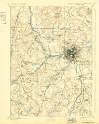
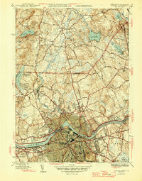
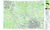
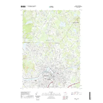
1886 Map of Lowell
USGS Topo · Published 1886About this map
The Merrimack River serves as the industrial and geographic anchor of this late 19th-century landscape, fueling the dense urban development of Lowell and its surrounding textile-era settlements. In the city's immediate orbit, neighborhoods like Centralville and Middlesex Village highlight the rapid growth of the period, while the complex lattice of railroads—including the Boston and Maine Railroad and the Lowell and Lawrence R.R.—signals the region's importance as a transportation hub.
Find a feature on this map
142 named features on this map. Tap any name to fly to it.
Don’t see what you’re looking for? This feature index may not catch every label — zoom into the map to look around manually.
Map Details
Editions of this 1886 Lowell Map
This is the sole edition of this map. No revisions or reprints were ever made.
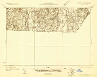
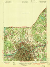
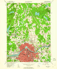
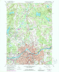
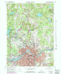
Historical Maps of Lowell Through Time
20 maps found
1886 Lowell
Middlesex County, MA
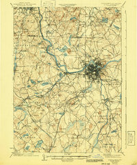
1893 Lowell
Middlesex County, MA

1918 Lowell
Middlesex County, MA

1921 Lowell
Middlesex County, MA
1931 Lowell
Middlesex County, MA
1935 Lowell
Middlesex County, MA
1941 Lowell
Middlesex County, MA

1943 Lowell
Middlesex County, MA
1946 Lowell
Middlesex County, MA
1950 Lowell
Middlesex County, MA
1966 Lowell
Middlesex County, MA
1969 Lowell
Middlesex County, MA

1984 Lowell
Middlesex County, MA
1987 Lowell
Middlesex County, MA

1988 Lowell
Middlesex County, MA
2012 Lowell
Middlesex County, MA
2015 Lowell
Middlesex County, MA
2018 Lowell
Middlesex County, MA
2021 Lowell
Middlesex County, MA
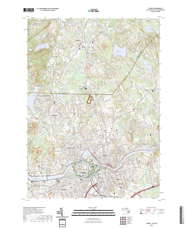
2024 Lowell
Middlesex County, MA