
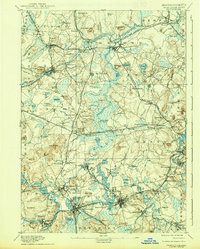
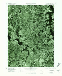
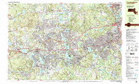
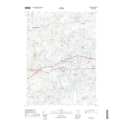
1889 Map of Framingham
USGS Topo · Published 1889About this map
Concord River and the Sudbury River define this eastern Massachusetts landscape during a period of significant industrial and transportation growth. The convergence of multiple rail lines, including the Boston And Albany Railroad and the Old Colony Railroad, highlights the importance of South Framingham as a regional hub. Local industry is clearly visible with the American Powder Co. located near Maynard and the presence of the Mass. State Muster Grounds near Framingham Center.
Find a feature on this map
173 named features on this map. Tap any name to fly to it.
Don’t see what you’re looking for? This feature index may not catch every label — zoom into the map to look around manually.
Map Details
Editions of this 1889 Framingham Map
This is the sole edition of this map. No revisions or reprints were ever made.
Historical Maps of Newton Through Time
14 maps found

1886 Framingham
Middlesex County, MA
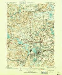
1889 Framingham
Middlesex County, MA
1894 Framingham
Middlesex County, MA

1918 Framingham
Middlesex County, MA
1943 Framingham
Middlesex County, MA
1950 Framingham
Middlesex County, MA
1965 Framingham
Middlesex County, MA
1977 Framingham
Middlesex County, MA
1987 Framingham
Middlesex County, MA
2012 Framingham
Middlesex County, MA
2015 Framingham
Middlesex County, MA
2018 Framingham
Middlesex County, MA
2021 Framingham
Middlesex County, MA
2024 Framingham
Middlesex County, MA