
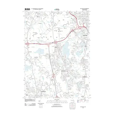
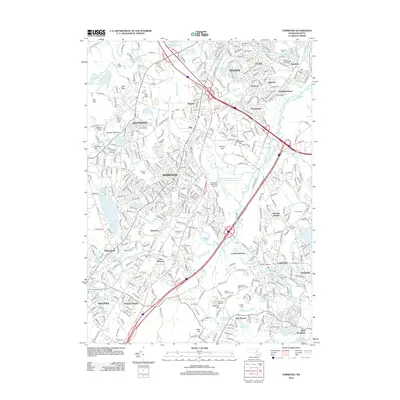
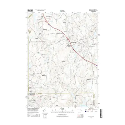
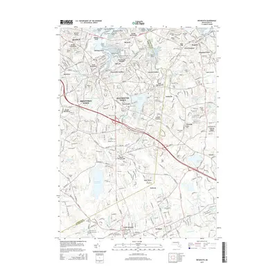
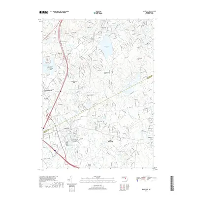
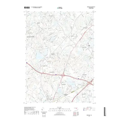
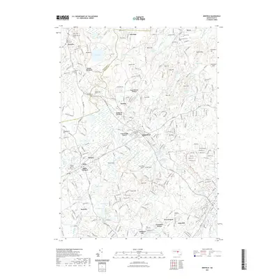
1887 Map of Franklin
USGS Topo · Published 1887About this map
Industrial expansion and rail connectivity characterize Norfolk County during this era, where the N. Y. N. H. & H. R. R. and the Midland Div. create a dense network of transit through burgeoning mill towns. The town of Franklin serves as a central hub, surrounded by smaller manufacturing hamlets such as Unionville, City Mills, and Mechanicsville. These settlements are deeply integrated with the water system of the region, utilizing Shepards Brook and Mine Brook for power, while larger bodies like the Neponset Reservoir and Lake Pearl define the lower wetlands.
Find a feature on this map
102 named features on this map. Tap any name to fly to it.
Don’t see what you’re looking for? This feature index may not catch every label — zoom into the map to look around manually.
Map Details
Editions of this 1887 Franklin Map
This is the sole edition of this map. No revisions or reprints were ever made.
Historical Maps of Woonsocket Through Time
89 maps found

1886 Dedham
Norfolk County, MA
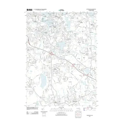
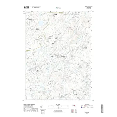
1887 Franklin
Norfolk County, MA

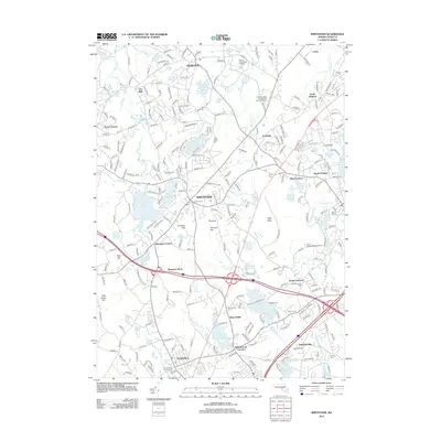
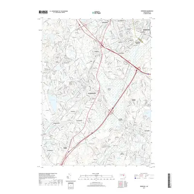
1889 Franklin
Norfolk County, MA

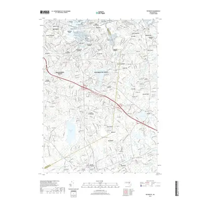
1893 Franklin
Norfolk County, MA

1894 Dedham
Norfolk County, MA

1919 Dedham
Norfolk County, MA

1919 Franklin
Norfolk County, MA

1921 Franklin
Norfolk County, MA

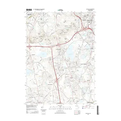
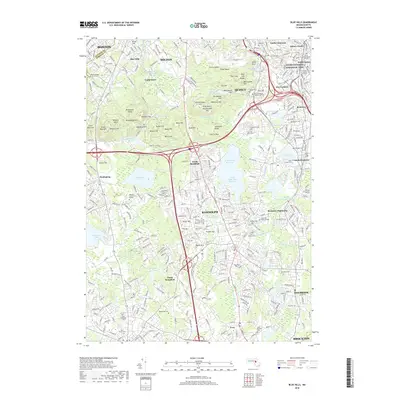
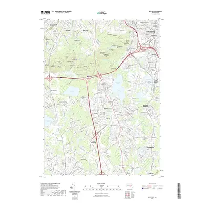
1936 Blue Hills
Norfolk County, MA

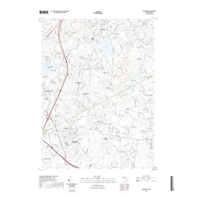
1936 Mansfield
Norfolk County, MA

1936 Norwood
Norfolk County, MA

1936 Weymouth
Norfolk County, MA

1939 Franklin
Norfolk County, MA

1940 Franklin
Norfolk County, MA

1940 Medfield
Norfolk County, MA

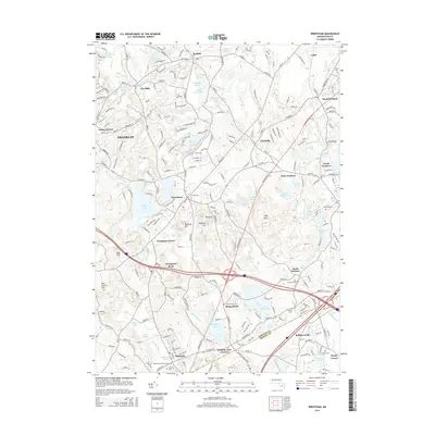
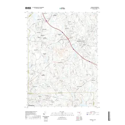
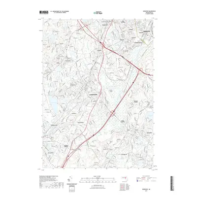
1940 Wrentham
Norfolk County, MA

1941 Blue Hills
Norfolk County, MA

1941 Mansfield
Norfolk County, MA

1941 Norwood
Norfolk County, MA

1941 Weymouth
Norfolk County, MA

1945 Franklin
Norfolk County, MA

1945 Medfield
Norfolk County, MA

1945 Wrentham
Norfolk County, MA

1946 Blue Hills
Norfolk County, MA

1946 Franklin
Norfolk County, MA

1946 Mansfield
Norfolk County, MA

1946 Medfield
Norfolk County, MA

1946 Norwood
Norfolk County, MA

1946 Wrentham
Norfolk County, MA

1947 Norwood
Norfolk County, MA

1947 Weymouth
Norfolk County, MA

1954 Blue Hills
Norfolk County, MA

1957 Medfield
Norfolk County, MA

1958 Blue Hills
Norfolk County, MA

1958 Norwood
Norfolk County, MA

1958 Weymouth
Norfolk County, MA

1964 Franklin
Norfolk County, MA

1964 Mansfield
Norfolk County, MA

1964 Wrentham
Norfolk County, MA

1965 Franklin
Norfolk County, MA

1970 Medfield
Norfolk County, MA

1970 Norwood
Norfolk County, MA

1971 Blue Hills
Norfolk County, MA

1971 Weymouth
Norfolk County, MA

1977 Blue Hills
Norfolk County, MA

1977 Franklin
Norfolk County, MA

1977 Mansfield
Norfolk County, MA

1977 Medfield
Norfolk County, MA

1977 Norwood
Norfolk County, MA

1977 Weymouth
Norfolk County, MA

1977 Wrentham
Norfolk County, MA

1985 Norwood
Norfolk County, MA

1987 Franklin
Norfolk County, MA

1987 Medfield
Norfolk County, MA
2012 Blue Hills
Norfolk County, MA
2012 Franklin
Norfolk County, MA
2012 Mansfield
Norfolk County, MA
2012 Medfield
Norfolk County, MA
2012 Norwood
Norfolk County, MA
2012 Weymouth
Norfolk County, MA
2012 Wrentham
Norfolk County, MA
2015 Blue Hills
Norfolk County, MA
2015 Franklin
Norfolk County, MA
2015 Mansfield
Norfolk County, MA
2015 Medfield
Norfolk County, MA
2015 Norwood
Norfolk County, MA
2015 Weymouth
Norfolk County, MA
2015 Wrentham
Norfolk County, MA
2018 Blue Hills
Norfolk County, MA
2018 Franklin
Norfolk County, MA
2018 Mansfield
Norfolk County, MA
2018 Medfield
Norfolk County, MA
2018 Norwood
Norfolk County, MA
2018 Weymouth
Norfolk County, MA
2018 Wrentham
Norfolk County, MA
2021 Blue Hills
Norfolk County, MA
2021 Franklin
Norfolk County, MA
2021 Mansfield
Norfolk County, MA
2021 Medfield
Norfolk County, MA
2021 Norwood
Norfolk County, MA
2021 Weymouth
Norfolk County, MA
2021 Wrentham
Norfolk County, MA

2024 Blue Hills
Norfolk County, MA

2024 Franklin
Norfolk County, MA

2024 Mansfield
Norfolk County, MA

2024 Medfield
Norfolk County, MA

2024 Norwood
Norfolk County, MA

2024 Weymouth
Norfolk County, MA

2024 Wrentham
Norfolk County, MA