
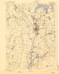
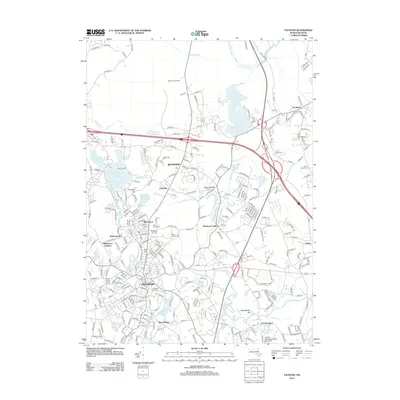
1885 Map of Taunton
USGS Topo · Published 1885About this map
The Taunton River serves as the central artery for this late 19th-century landscape, winding through a complex network of industrial and institutional landmarks. Industrial activity is concentrated at the Copper Works and the Swansea Factory, while the Old Colony Railroad and its various branches, including the Mansfield Branch, provide the essential transport links for these rural manufacturing hubs. The urban center of Taunton is flanked by specialized facilities like the State Hospital for the Insane and the town Almshouse, reflecting the era's social infrastructure.
Find a feature on this map
114 named features on this map. Tap any name to fly to it.
Don’t see what you’re looking for? This feature index may not catch every label — zoom into the map to look around manually.
Map Details
Editions of this 1885 Taunton Map
This is the sole edition of this map. No revisions or reprints were ever made.
Historical Maps of Fall River Through Time
17 maps found
1885 Taunton
Bristol County, MA

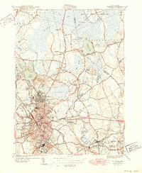
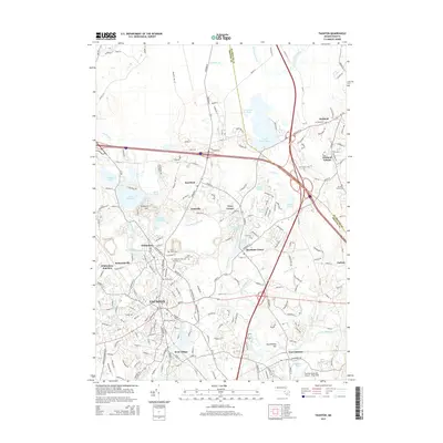
1888 Taunton
Bristol County, MA
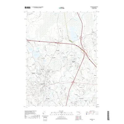
1893 Taunton
Bristol County, MA

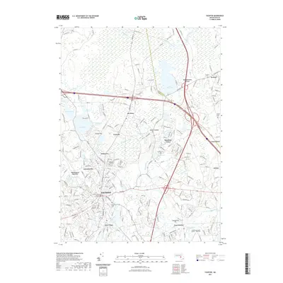
1918 Taunton
Bristol County, MA
1944 Taunton
Bristol County, MA
1949 Taunton
Bristol County, MA

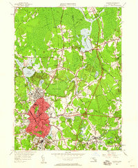
1962 Taunton
Bristol County, MA

1977 Taunton
Bristol County, MA
1978 Taunton
Bristol County, MA

1979 Taunton
Bristol County, MA

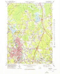
1987 Taunton
Bristol County, MA
2012 Taunton
Bristol County, MA
2015 Taunton
Bristol County, MA
2018 Taunton
Bristol County, MA
2021 Taunton
Bristol County, MA
2023 Taunton
Bristol County, MA
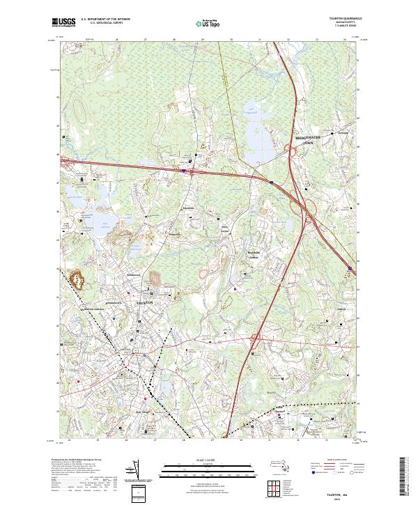
2024 Taunton
Bristol County, MA