
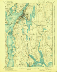
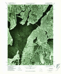
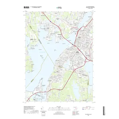
1888 Map of Fall River
USGS Topo · Published 1888About this map
Fall River serves as the industrial and transport hub of this coastal region, where the Quequechan River meets the Taunton River and the broad expanse of Mount Hope Bay. This late nineteenth-century survey shows the dense grid of the city, surrounded by distinct outlying villages such as Globe Village, Mechanicsville, and Bowenville. The landscape is defined by the significant freshwater bodies of Watuppa Pond, Stafford Pond, and Sawdy Pond, which provided the necessary water power for the textile mills that drove the local economy.
Find a feature on this map
114 named features on this map. Tap any name to fly to it.
Don’t see what you’re looking for? This feature index may not catch every label — zoom into the map to look around manually.
Map Details
Editions of this 1888 Fall River Map
This is the sole edition of this map. No revisions or reprints were ever made.
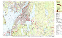
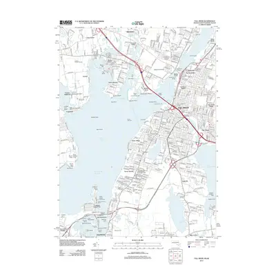
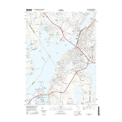
Historical Maps of Fall River Through Time
13 maps found
1888 Fall River
Bristol County, MA
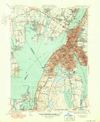
1893 Fall River
Bristol County, MA

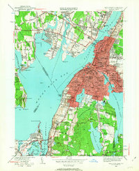
1919 Fall River
Bristol County, MA
1944 Fall River
Bristol County, MA
1949 Fall River
Bristol County, MA
1967 Fall River
Bristol County, MA
1977 Fall River
Bristol County, MA
1985 Fall River
Bristol County, MA
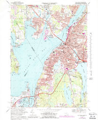
2012 Fall River
Bristol County, MA
2015 Fall River
Bristol County, MA
2018 Fall River
Bristol County, MA

2021 Fall River
Bristol County, MA
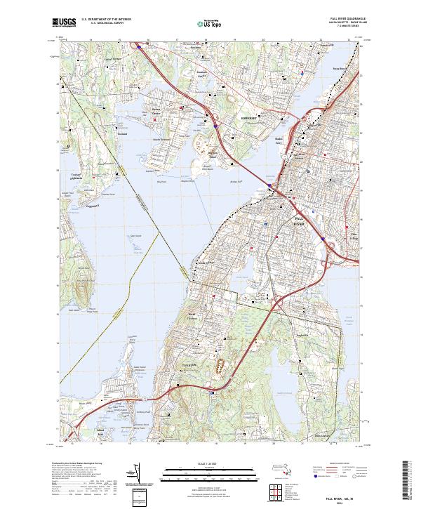
2024 Fall River
Bristol County, MA