
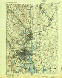
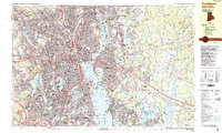
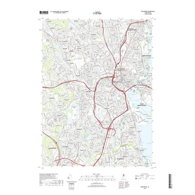
1889 Map of Providence
USGS Topo · Published 1889About this map
Industrial hubs and historic institutional grounds define the landscape around the Providence River and Seekonk River in the late 1880s. The dense street grids of the capital city give way to specialized complexes such as the Butler Hospital and the Dexter Asylum, while textile and manufacturing centers like the Sayles Bleachery, Conant Thread Co, and Dunnell Print Works line the water ways.
Find a feature on this map
172 named features on this map. Tap any name to fly to it.
Don’t see what you’re looking for? This feature index may not catch every label — zoom into the map to look around manually.
Map Details
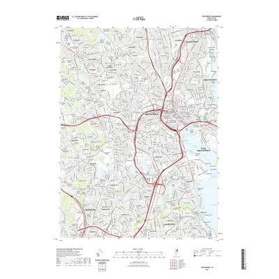
Editions of this 1889 Providence Map
This is the sole edition of this map. No revisions or reprints were ever made.
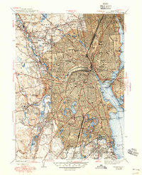
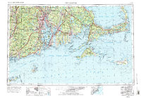
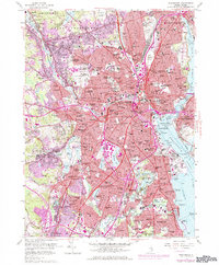
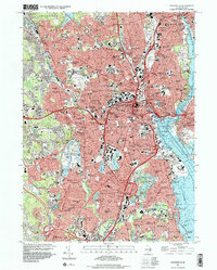
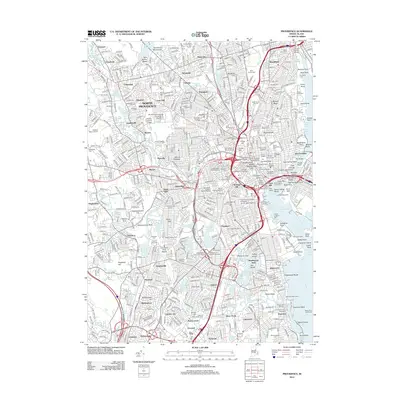
Historical Maps of Providence Through Time
22 maps found

1887 Providence
Providence County, RI
1889 Providence
Providence County, RI
1894 Providence
Providence County, RI

1921 Providence
Providence County, RI

1935 Providence
Providence County, RI
1939 Providence
Providence County, RI

1943 Providence
Providence County, RI
1947 Providence
Providence County, RI

1948 Providence
Providence County, RI

1957 Providence
Providence County, RI
1957 Providence
Providence County, RI

1958 Providence
Providence County, RI

1963 Providence
Providence County, RI

1979 Providence
Providence County, RI

1984 Providence
Providence County, RI
1987 Providence
Providence County, RI
1996 Providence
Providence County, RI
2012 Providence
Providence County, RI
2015 Providence
Providence County, RI
2018 Providence
Providence County, RI
2021 Providence
Providence County, RI
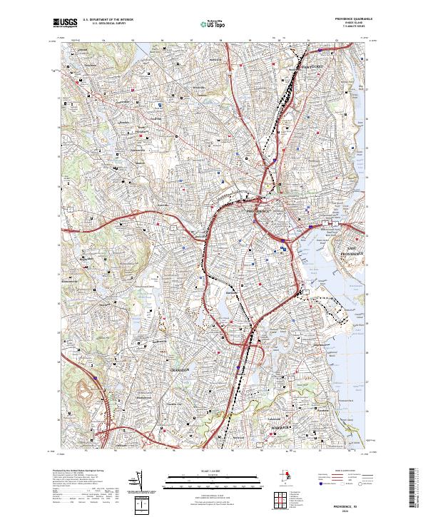
2024 Providence
Providence County, RI