
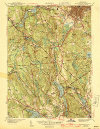
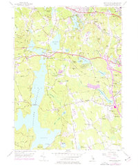
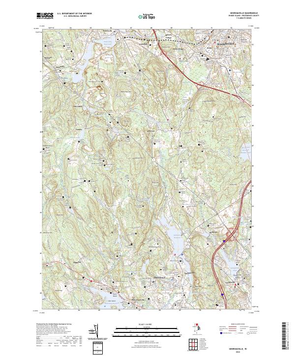
1889 Map of Burrillville
USGS Topo · Published 1889About this map
Industrial mill villages and a complex network of reservoirs define this late-19th-century landscape in northwest Rhode Island. The Branch River and Clear River power a sequence of manufacturing hubs including Slatersville, Harrisville, and Nasonville. These settlements are linked by the regional rail infrastructure of the era, marked by depots such as Tarkiln Station and Smithfield Station. In the northeastern corner, the edge of Woonsocket appears alongside Globe Village and Bank Village, showing the dense urban expansion of the textile era.
Find a feature on this map
130 named features on this map. Tap any name to fly to it.
Don’t see what you’re looking for? This feature index may not catch every label — zoom into the map to look around manually.
Map Details
Editions of this 1889 Burrillville Map
This is the sole edition of this map. No revisions or reprints were ever made.
Historical Maps of Cranston Through Time
22 maps found
1889 Burrillville
Providence County, RI

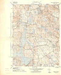
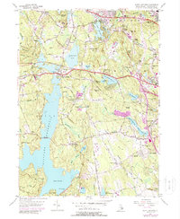
1894 Burrillville
Providence County, RI

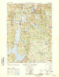
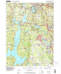
1915 Burrillville
Providence County, RI

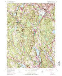
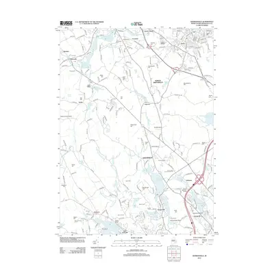
1921 Burrillville
Providence County, RI
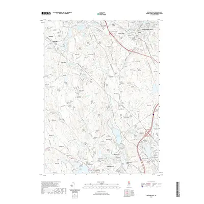
1943 Georgiaville
Providence County, RI
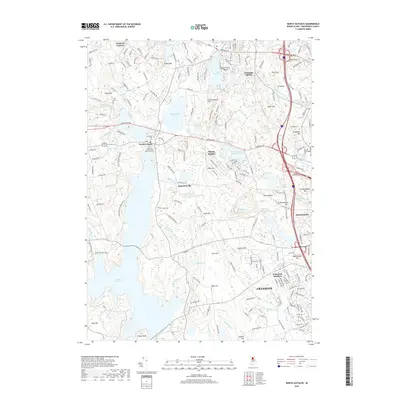
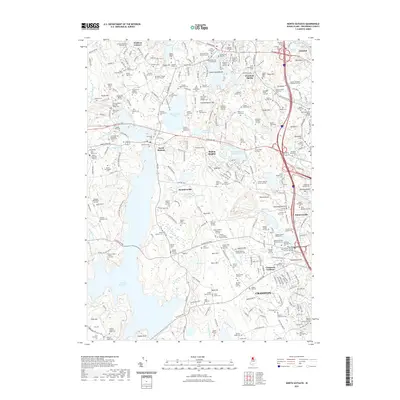
1943 North Scituate
Providence County, RI
1950 North Scituate
Providence County, RI
1954 Georgiaville
Providence County, RI
1955 North Scituate
Providence County, RI
1975 North Scituate
Providence County, RI
1996 North Scituate
Providence County, RI

1999 Georgiaville
Providence County, RI
2012 Georgiaville
Providence County, RI
2012 North Scituate
Providence County, RI
2015 Georgiaville
Providence County, RI
2015 North Scituate
Providence County, RI
2018 Georgiaville
Providence County, RI
2018 North Scituate
Providence County, RI
2021 Georgiaville
Providence County, RI
2021 North Scituate
Providence County, RI
2024 Georgiaville
Providence County, RI
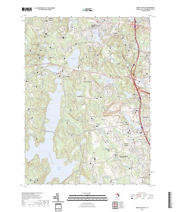
2024 North Scituate
Providence County, RI