
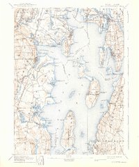
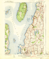
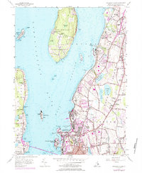
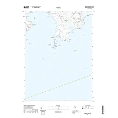
1888 Map of Sakonnet
USGS Topo · Published 1888About this map
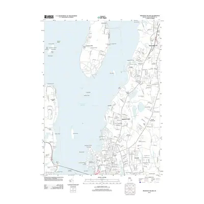
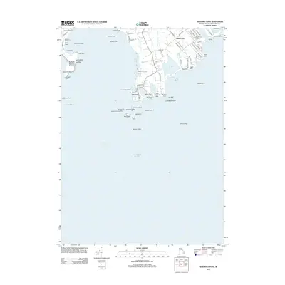
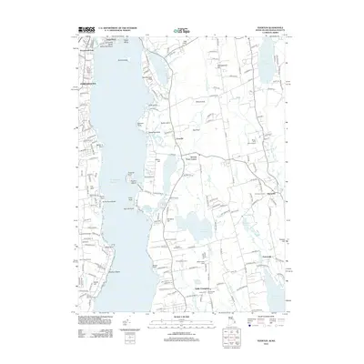
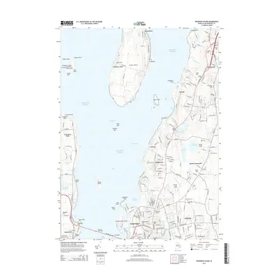
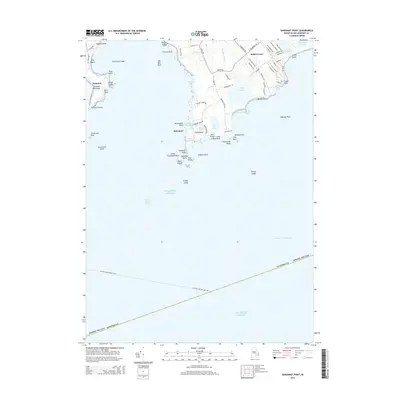
Sakonnet Point and the rocky southeastern edge of Little Compton define this late-nineteenth-century coastal survey. The map emphasizes the interaction between the Sakonnet River and the open Atlantic Ocean, detailing a coastline characterized by sharp points and sheltered coves. A notable man-made Breakwater at the tip of the peninsula indicates the maritime activity and navigational needs of the 1880s.
Find a feature on this map
26 named features on this map. Tap any name to fly to it.
Don’t see what you’re looking for? This feature index may not catch every label — zoom into the map to look around manually.
Map Details
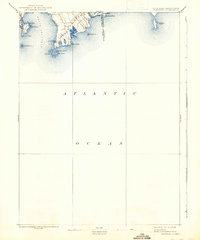
Editions of this 1888 Sakonnet Map
This is the sole edition of this map. No revisions or reprints were ever made.
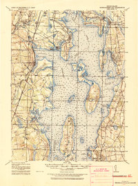
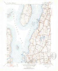
Historical Maps of Middletown Through Time
30 maps found

1885 Sakonnet
Newport County, RI
1888 Sakonnet
Newport County, RI

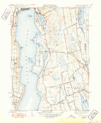
1890 Narragansett Bay
Newport County, RI
1892 Narragansett Bay
Newport County, RI
1893 Sakonnet
Newport County, RI
1919 Narragansett Bay
Newport County, RI
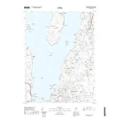
1939 Prudence Island
Newport County, RI
1942 Prudence Island
Newport County, RI
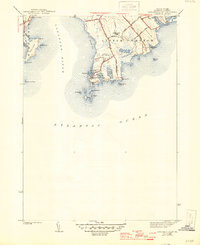
1942 Sakonnet Point
Newport County, RI
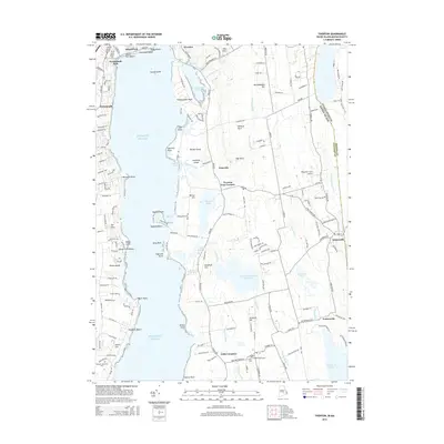
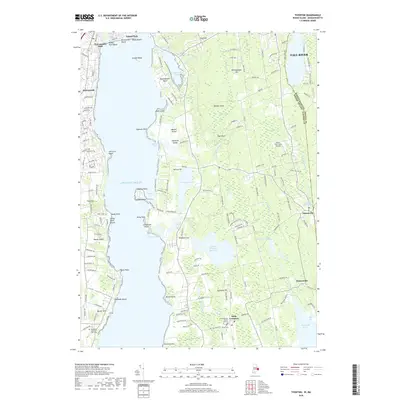
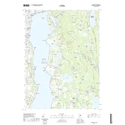
1942 Tiverton
Newport County, RI
1949 Tiverton
Newport County, RI
1955 Prudence Island
Newport County, RI
1955 Sakonnet Point
Newport County, RI
1984 Sakonnet Point
Newport County, RI
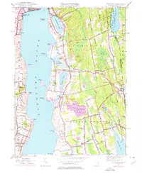
1996 Prudence Island
Newport County, RI
2012 Prudence Island
Newport County, RI
2012 Sakonnet Point
Newport County, RI
2012 Tiverton
Newport County, RI
2015 Prudence Island
Newport County, RI
2015 Sakonnet Point
Newport County, RI
2015 Tiverton
Newport County, RI
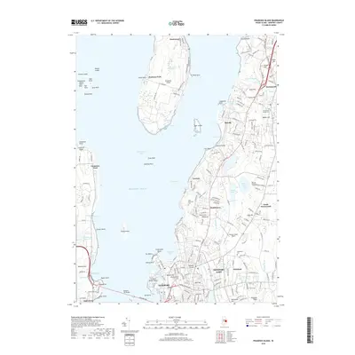
2018 Prudence Island
Newport County, RI
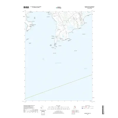
2018 Sakonnet Point
Newport County, RI
2018 Tiverton
Newport County, RI
2021 Prudence Island
Newport County, RI
2021 Sakonnet Point
Newport County, RI
2021 Tiverton
Newport County, RI
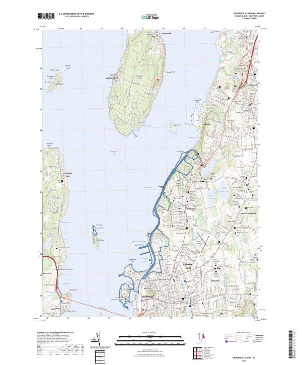
2024 Prudence Island
Newport County, RI
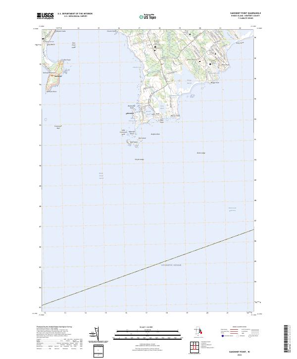
2024 Sakonnet Point
Newport County, RI
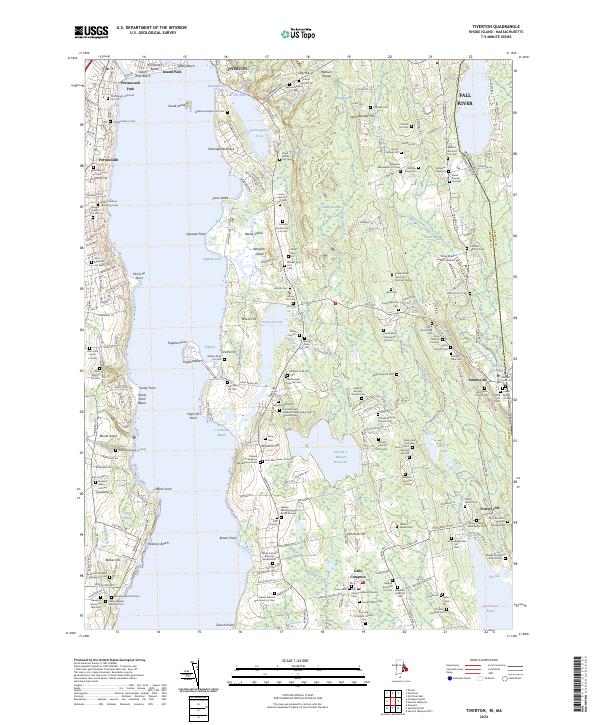
2024 Tiverton
Newport County, RI