
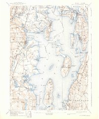
1893 Map of Sakonnet
USGS Topo · Published 1893About this map
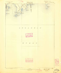
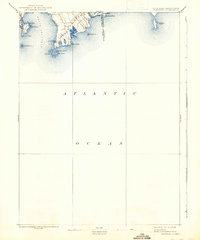
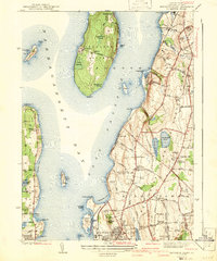
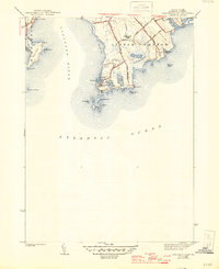
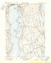
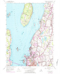
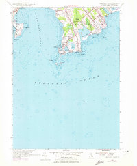
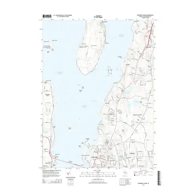
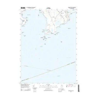
Little Compton and Middletown define the coastal landscape of this late-nineteenth-century survey, which focuses on the rugged shoreline where the Sakonnet River meets the Atlantic Ocean. The topography reveals a peninsula shaped by wind and tide, characterized by prominent coastal features like Sachuest Neck and the distinctively named Woods Castle. A notable structural element of the period is the Breakwater protecting the anchorage at Sakonnet Point, a critical harbor for maritime activity before modern coastal developments. The map also delineates the Rhode Island Massachusetts Boundary Line as it intersects with Quicksand Point, offering a precise record of the interstate border at Tunipus Beach. This coastal reach is dotted with numerous hazards and landmarks, from Cormorant Rock to the inland Long Pond, reflecting the era's reliance on visible maritime cues for navigation.
Find a feature on this map
28 named features on this map. Tap any name to fly to it.
Don’t see what you’re looking for? This feature index may not catch every label — zoom into the map to look around manually.
Map Details
Editions of this 1893 Sakonnet Map
6 editions found
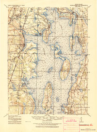
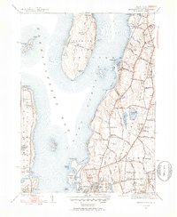
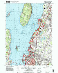
Historical Maps of Middletown Through Time
30 maps found

1885 Sakonnet
Newport County, RI

1888 Sakonnet
Newport County, RI

1890 Narragansett Bay
Newport County, RI
1892 Narragansett Bay
Newport County, RI
1893 Sakonnet
Newport County, RI
1919 Narragansett Bay
Newport County, RI
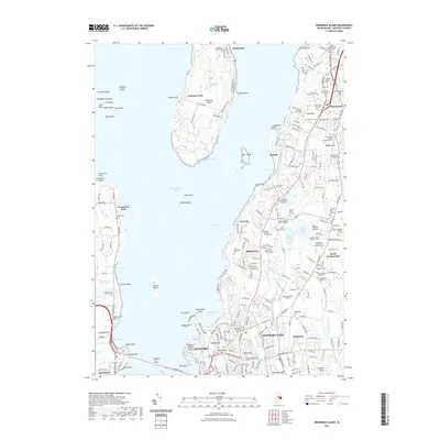
1939 Prudence Island
Newport County, RI
1942 Prudence Island
Newport County, RI
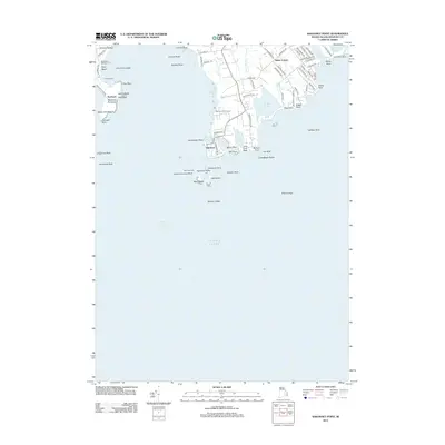
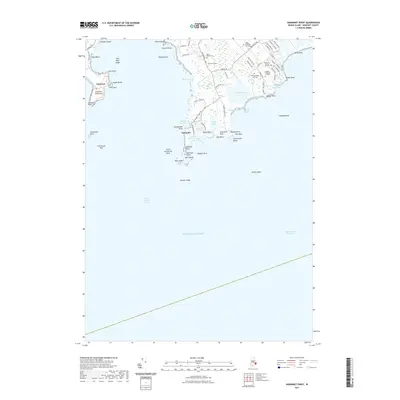
1942 Sakonnet Point
Newport County, RI
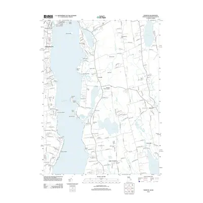
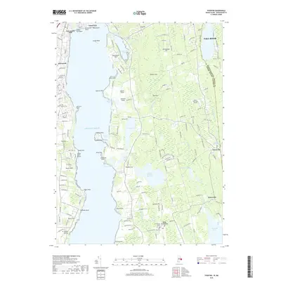
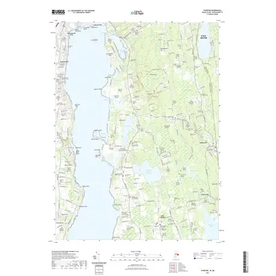
1942 Tiverton
Newport County, RI
1949 Tiverton
Newport County, RI
1955 Prudence Island
Newport County, RI
1955 Sakonnet Point
Newport County, RI
1984 Sakonnet Point
Newport County, RI
1996 Prudence Island
Newport County, RI
2012 Prudence Island
Newport County, RI
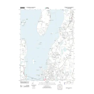
2012 Sakonnet Point
Newport County, RI
2012 Tiverton
Newport County, RI
2015 Prudence Island
Newport County, RI
2015 Sakonnet Point
Newport County, RI
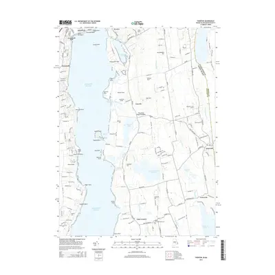
2015 Tiverton
Newport County, RI
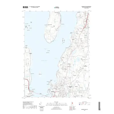
2018 Prudence Island
Newport County, RI
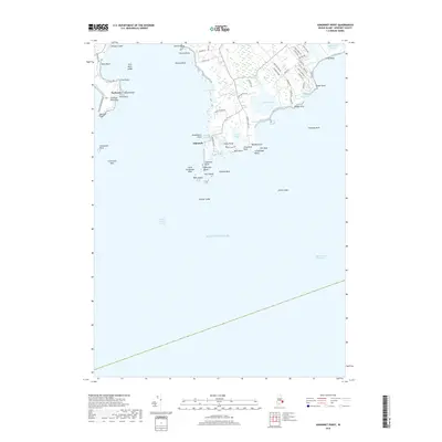
2018 Sakonnet Point
Newport County, RI
2018 Tiverton
Newport County, RI
2021 Prudence Island
Newport County, RI
2021 Sakonnet Point
Newport County, RI
2021 Tiverton
Newport County, RI
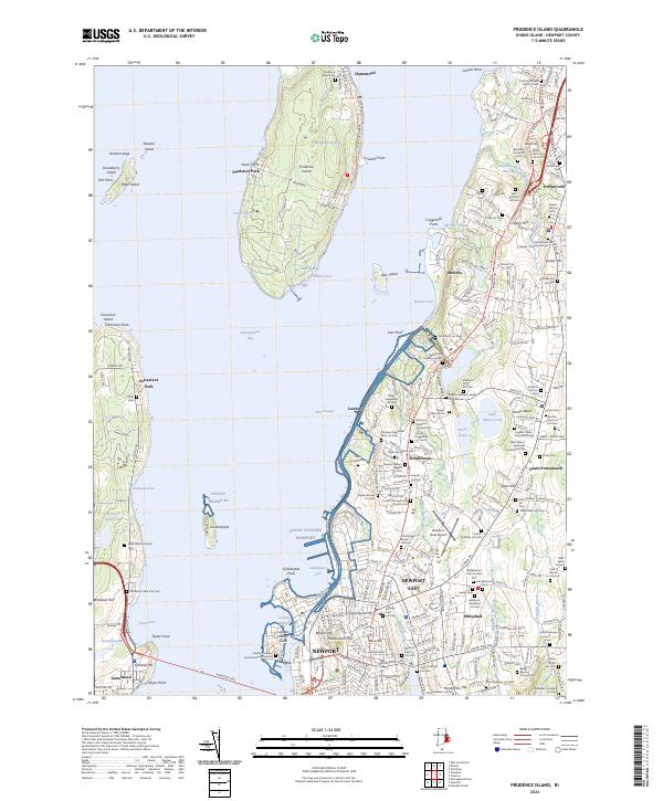
2024 Prudence Island
Newport County, RI
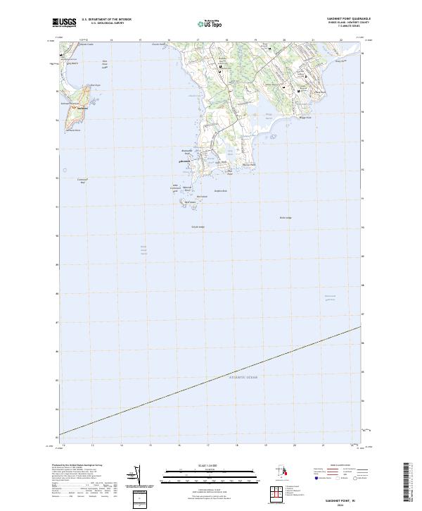
2024 Sakonnet Point
Newport County, RI
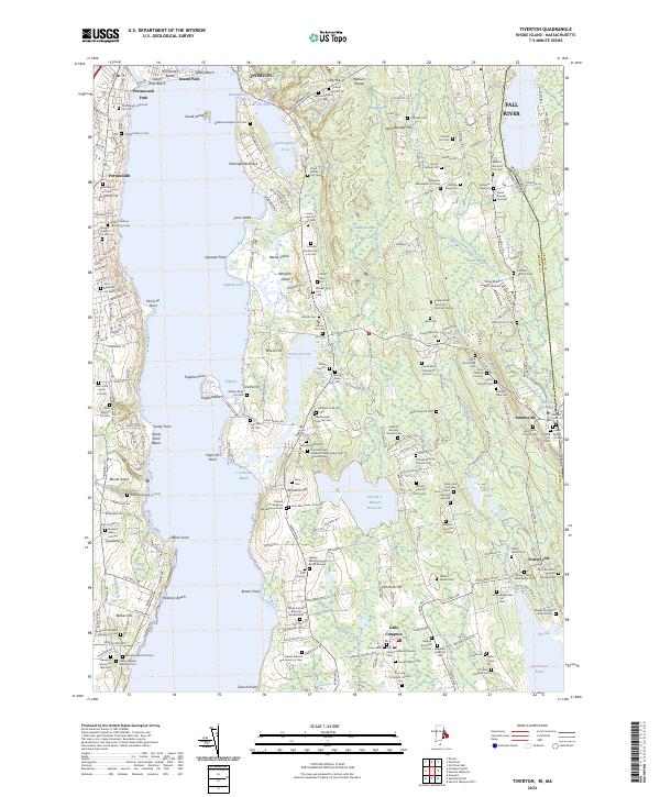
2024 Tiverton
Newport County, RI