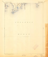
1893 Map of Sakonnet
USGS Topo · Published 1913About this map
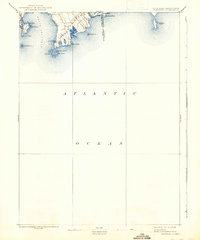
Little Compton and the rugged coastal edges of Middletown define this late nineteenth-century maritime landscape where the Sakonnet River meets the Atlantic Ocean. The survey reveals a coastline shaped by both nature and human engineering, notably the protective Breakwater sheltering the waters near Sakonnet Point. This area was characterized by a series of coastal ponds, including Tunipus Pond, Round Pond, and Long Pond, which sit just inland from the rocky points and sandy stretches of Tunipus Beach.
Find a feature on this map
28 named features on this map. Tap any name to fly to it.
Don’t see what you’re looking for? This feature index may not catch every label — zoom into the map to look around manually.
Map Details
Editions of this 1893 Sakonnet Map
6 editions found
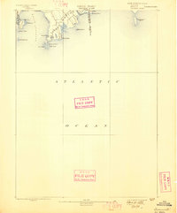
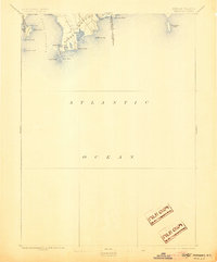
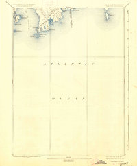
Other maps of this area

1885 · New Bedford
USGS Topo · 1:62,500

1885 · Sakonnet
USGS Topo · 1:62,500

1888 · New Bedford
USGS Topo · 1:62,500

1888 · Fall River
USGS Topo · 1:62,500

1888 · Sakonnet
USGS Topo · 1:62,500

1889 · Newport
USGS Topo · 1:62,500

1890 · Narragansett Bay
USGS Topo · 1:62,500

1892 · Narragansett Bay
USGS Topo · 1:62,500

1893 · Sakonnet
USGS Topo · 1:62,500

1893 · Fall River
USGS Topo · 1:62,500