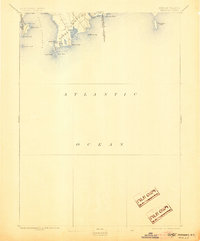
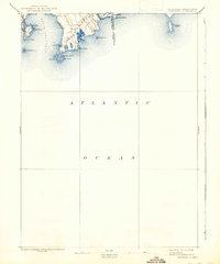
1893 Map of Sakonnet
USGS Topo · Published 1905About this map
The coastal reaches of Little Compton and Middletown meet the Atlantic in this late 19th-century hydrographic and topographic study. Surveyed primarily in 1885, the map documents the complex shoreline where the Sakonnet River opens into the sea. The landscape is defined by its maritime exposures, featuring landmarks such as Sakonnet Point, Sachuest Neck, and the protective Breakwater. The interior of the Little Compton peninsula reveals a low-lying terrain dotted with coastal water bodies like Round Pond and Long Pond, suggesting the salt-pond ecology typical of this corner of Rhode Island. The eastern edge of the sheet identifies the Rhode Island Massachusetts Boundary Line, providing a precise look at the border before 20th-century coastal development transformed these seaside commons and family-named points like Warren Point and Church Point.
Find a feature on this map
27 named features on this map. Tap any name to fly to it.
Don’t see what you’re looking for? This feature index may not catch every label — zoom into the map to look around manually.
Map Details
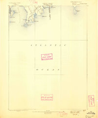
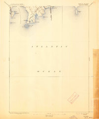
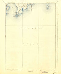
Editions of this 1893 Sakonnet Map
6 editions found
Other maps of this area

1885 · New Bedford
USGS Topo · 1:62,500

1885 · Sakonnet
USGS Topo · 1:62,500

1888 · New Bedford
USGS Topo · 1:62,500

1888 · Fall River
USGS Topo · 1:62,500

1888 · Sakonnet
USGS Topo · 1:62,500

1889 · Newport
USGS Topo · 1:62,500

1890 · Narragansett Bay
USGS Topo · 1:62,500

1892 · Narragansett Bay
USGS Topo · 1:62,500

1893 · Sakonnet
USGS Topo · 1:62,500

1893 · Fall River
USGS Topo · 1:62,500