
1893 Map of New Bedford
USGS Topo · Published 1893About this map
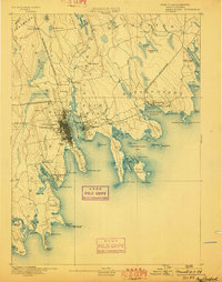
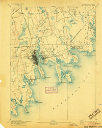
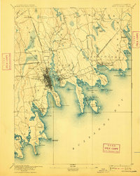
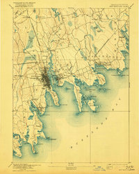
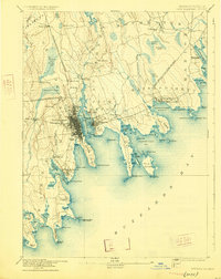
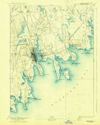
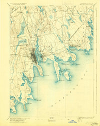
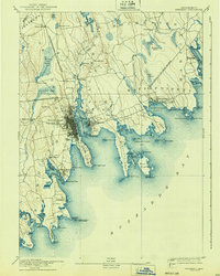
The Acushnet River defines the industrial and maritime landscape of this late nineteenth-century coastal study, separating the dense urban grid of New Bedford from the town of Fairhaven. This was an era when the whaling industry's legacy met the rising rail economy, illustrated by the New Bedford Branch of Old Colony Railroad and the Fall River and New Bedford Railroad converging near the harbor. The coastline is dotted with navigational aids essential to Buzzards Bay shipping, including Neds Point Light and Clarks Point Light. Inland, the terrain transitions from the sprawling Great Cedar Swamp and Acushnet Cedar Swamp to smaller agricultural and milling outposts like Turners Mills and Braleys Station. The map captures the complex geography of the jagged coastline, from the long finger of Sconticut Neck to the island-dotted Nasketucket Bay.
Find a feature on this map
97 named features on this map. Tap any name to fly to it.
Don’t see what you’re looking for? This feature index may not catch every label — zoom into the map to look around manually.
Map Details
Editions of this 1893 New Bedford Map
9 editions found
Other maps of this area

1885 · New Bedford
USGS Topo · 1:62,500

1885 · Sakonnet
USGS Topo · 1:62,500

1885 · Middleboro
USGS Topo · 1:62,500

1885 · Taunton
USGS Topo · 1:62,500

1886 · Falmouth
USGS Topo · 1:62,500

1886 · Plymouth
USGS Topo · 1:62,500

1887 · Gay Head
USGS Topo · 1:62,500

1888 · New Bedford
USGS Topo · 1:62,500

1888 · Fall River
USGS Topo · 1:62,500

1888 · Falmouth
USGS Topo · 1:62,500