Loading...
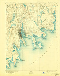
Loading map...1893 Map of New Bedford
USGS Topo · Published 1930About this map
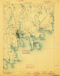
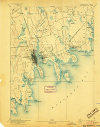
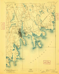
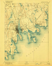
New Bedford Harbor and the Acushnet River form the industrial and maritime heart of this 1885 survey, showing the density of New Bedford and Fairhaven before late-century expansion. The landscape is defined by its relationship with Buzzards Bay, where essential navigation markers like Neds Point Light and the Dumpling Rock Light House protected the region's busy shipping lanes.
Find a feature on this map
97 named features on this map. Tap any name to fly to it.
Don’t see what you’re looking for? This feature index may not catch every label — zoom into the map to look around manually.
Map Details
Date Portrayed1893
Date Published1930
PublisherU.S. Geological Survey
Map TypeTopographic
Scale1:62,500
Physical Dimensions15.8 x 19.9 inches
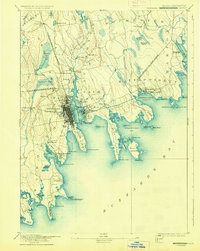
Editions of this 1893 New Bedford Map
9 editions found


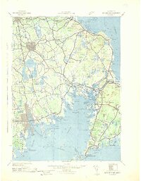
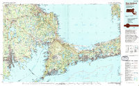
Historical Maps of New Bedford Through Time
6 maps found


Featured Locations
Source Details
SourceU.S. Geological Survey
CopyrightPublic Domain