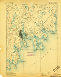
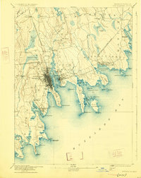
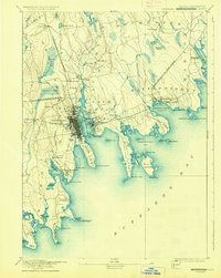
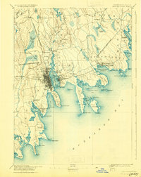
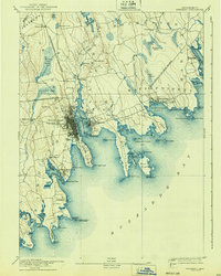
1893 Map of New Bedford
USGS Topo · Published 1904About this map
New Bedford stands as a bustling maritime and industrial hub on the shores of New Bedford Harbor during the late nineteenth century. The urban core is densely gridded, connected to the surrounding region by the Fall River and New Bedford Railroad and the New Bedford Branch of Old Colony Railroad. Across the Acushnet River lies Fairhaven and the waterfront village of Oxford, while the coastline stretches east through Mattapoisett and north toward Marion.
Find a feature on this map
100 named features on this map. Tap any name to fly to it.
Don’t see what you’re looking for? This feature index may not catch every label — zoom into the map to look around manually.
Map Details
Editions of this 1893 New Bedford Map
9 editions found

Other maps of this area

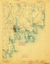
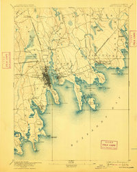
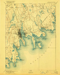
1885 · New Bedford
USGS Topo · 1:62,500

1885 · Sakonnet
USGS Topo · 1:62,500

1885 · Middleboro
USGS Topo · 1:62,500

1885 · Taunton
USGS Topo · 1:62,500

1886 · Falmouth
USGS Topo · 1:62,500

1886 · Plymouth
USGS Topo · 1:62,500

1887 · Gay Head
USGS Topo · 1:62,500

1888 · New Bedford
USGS Topo · 1:62,500

1888 · Fall River
USGS Topo · 1:62,500

1888 · Falmouth
USGS Topo · 1:62,500