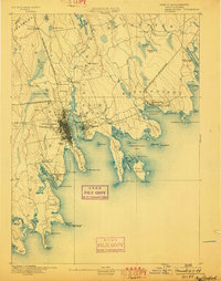
1893 Map of New Bedford
USGS Topo · Published 1898About this map
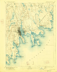
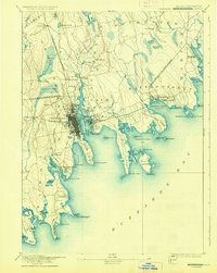
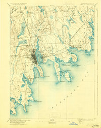
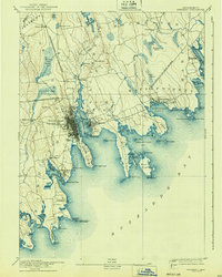
New Bedford and its deep maritime landscape are the focus of this late 19th-century study, showing the city's transition from its whaling heights to a diversified industrial hub. The New Bedford Harbor is heavily developed with piers and docks, flanked by the residential expansion of Fairhaven across the Acushnet River. Multiple branches of the Old Colony Railroad converge here, highlighting the transport networks that connected the Buzzards Bay coast to inland markets. The survey details the jagged shoreline of Sconticut Neck and the outlying West Island, providing a clear record of the coastal topology before modern development altered the salt marshes. Navigational landmarks like Neds Point Light and Dumpling Rock Light House stand as essential guides for the heavy maritime traffic of the era, while inland, the landscape remains dotted with historic centers like Rochester and Acushnet Station.
Find a feature on this map
90 named features on this map. Tap any name to fly to it.
Don’t see what you’re looking for? This feature index may not catch every label — zoom into the map to look around manually.
Map Details
Editions of this 1893 New Bedford Map
9 editions found

Other maps of this area

1885 · New Bedford
USGS Topo · 1:62,500

1885 · Sakonnet
USGS Topo · 1:62,500

1885 · Middleboro
USGS Topo · 1:62,500

1885 · Taunton
USGS Topo · 1:62,500

1886 · Falmouth
USGS Topo · 1:62,500

1886 · Plymouth
USGS Topo · 1:62,500

1887 · Gay Head
USGS Topo · 1:62,500

1888 · New Bedford
USGS Topo · 1:62,500

1888 · Fall River
USGS Topo · 1:62,500

1888 · Falmouth
USGS Topo · 1:62,500