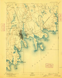
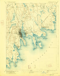
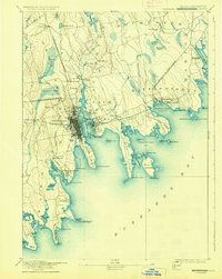
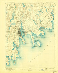
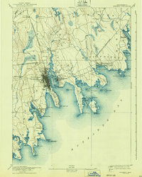
1893 Map of New Bedford
USGS Topo · Published 1910About this map
New Bedford serves as the industrious center of this coastal survey, where the Acushnet River meets New Bedford Harbor. The landscape is defined by its maritime infrastructure and early industrial rail lines, including the Fall River and New Bedford Railroad and the Fairhaven Branch of Old Colony Railroad. These tracks connect the bustling waterfront with surrounding villages like Fairhaven, Mattapoisett, and the mill-focused settlement at Turners Mills.
Find a feature on this map
92 named features on this map. Tap any name to fly to it.
Don’t see what you’re looking for? This feature index may not catch every label — zoom into the map to look around manually.
Map Details
Editions of this 1893 New Bedford Map
9 editions found

Other maps of this area

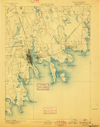
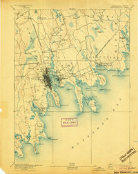
1885 · New Bedford
USGS Topo · 1:62,500

1885 · Sakonnet
USGS Topo · 1:62,500

1885 · Middleboro
USGS Topo · 1:62,500

1885 · Taunton
USGS Topo · 1:62,500

1886 · Falmouth
USGS Topo · 1:62,500

1886 · Plymouth
USGS Topo · 1:62,500

1887 · Gay Head
USGS Topo · 1:62,500

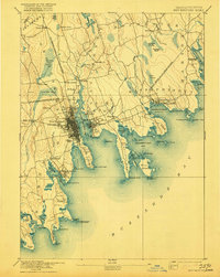
1888 · New Bedford
USGS Topo · 1:62,500

1888 · Fall River
USGS Topo · 1:62,500

1888 · Falmouth
USGS Topo · 1:62,500