
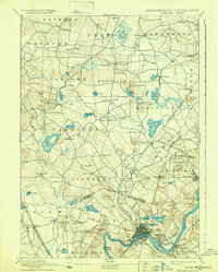
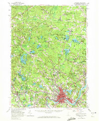
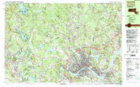
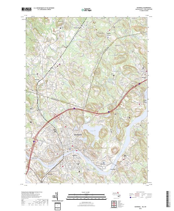
1890 Map of Haverhill
USGS Topo · Published 1890About this map
The Merrimac River anchors this 1890s landscape, serving as the industrial and logistical heart for the burgeoning city of Haverhill. Along its banks, the dense street grids of Bradford and Riverside reveal a region defined by late 19th-century growth and river-based commerce. The intricate rail network of the era is fully realized here, featuring the Main Line of B. & M. R.R. and several vital branches like the Georgetown Branch of B. & M. R.R., which connected specialized industrial hubs and small stations such as Groveland Station.
Find a feature on this map
106 named features on this map. Tap any name to fly to it.
Don’t see what you’re looking for? This feature index may not catch every label — zoom into the map to look around manually.
Map Details
Editions of this 1890 Haverhill Map
This is the sole edition of this map. No revisions or reprints were ever made.
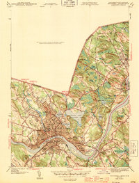
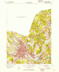
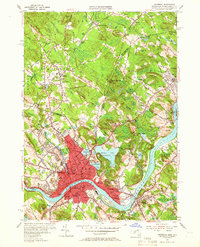
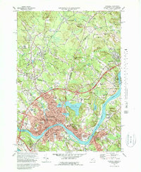
Historical Maps of Haverhill Through Time
17 maps found

1888 Haverhill
Essex County, MA
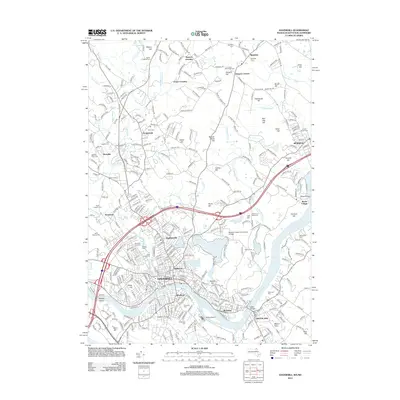
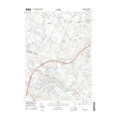
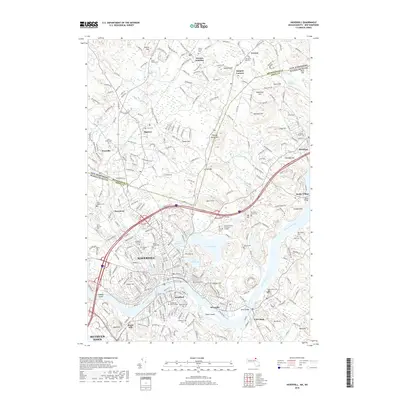
1890 Haverhill
Essex County, MA
1893 Haverhill
Essex County, MA
1943 Haverhill
Essex County, MA
1952 Haverhill
Essex County, MA
1955 Haverhill
Essex County, MA
1956 Haverhill
Essex County, MA
1972 Haverhill
Essex County, MA
1977 Haverhill
Essex County, MA
1985 Haverhill
Essex County, MA
1987 Haverhill
Essex County, MA
2012 Haverhill
Essex County, MA
2015 Haverhill
Essex County, MA
2018 Haverhill
Essex County, MA
2021 Haverhill
Essex County, MA
2023 Haverhill
Essex County, MA
2024 Haverhill
Essex County, MA