
1893 Map of Salem
USGS Topo · Published 1893About this map
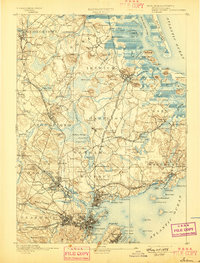
The coastal and inland landscapes of Massachusetts' North Shore appear here as a complex network of 19th-century rail corridors and established maritime villages. The prominent Boston and Maine Railroad Eastern Division and the Newburyport Branch serve as the primary infrastructure connecting historic hubs like Ipswich, Georgetown, and Salem. This era is defined by specialized institutional footprints, such as the large Insane Asylum in Danvers and the educational legacy of Dummer Academy near Mill Creek.
Find a feature on this map
208 named features on this map. Tap any name to fly to it.
Don’t see what you’re looking for? This feature index may not catch every label — zoom into the map to look around manually.
Map Details
Editions of this 1893 Salem Map
11 editions found
1893 edition
15.5 x 20 inches
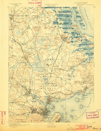
1897 edition
15.3 x 20.1 inches
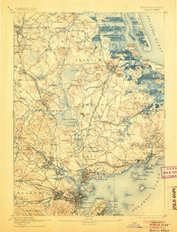
1902 edition
15.4 x 19.9 inches
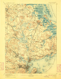
1905 edition
15.2 x 20 inches
1908 edition
15.4 x 19.9 inches
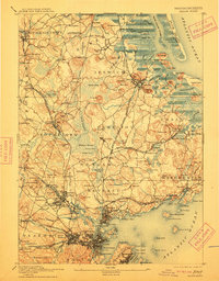
1912 edition
15.4 x 19.7 inches
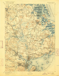
1916 edition
15.3 x 19.7 inches
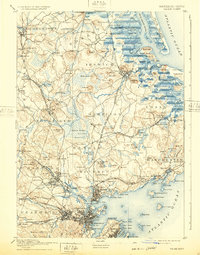
1932 edition
15.5 x 19.7 inches
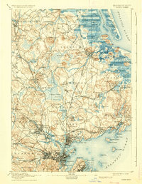
1936 edition
15.4 x 19.8 inches
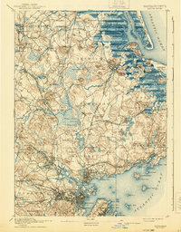
1940 edition
15.4 x 19.8 inches
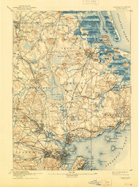
1944 edition
15.3 x 20.6 inches
Other maps of this area

1886 · Gloucester
USGS Topo · 1:62,500

1886 · Lawrence
USGS Topo · 1:62,500

1888 · Newburyport
USGS Topo · 1:62,500

1888 · Haverhill
USGS Topo · 1:62,500

1888 · Gloucester
USGS Topo · 1:62,500

1888 · Lawrence
USGS Topo · 1:62,500

1888 · Salem
USGS Topo · 1:62,500

1890 · Haverhill
USGS Topo · 1:62,500

1890 · Newburyport
USGS Topo · 1:62,500

1892 · Boston Bay
USGS Topo · 1:62,500