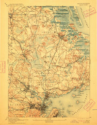
1893 Map of Salem
USGS Topo · Published 1912About this map
Dummer Academy stands at the northern edge of this coastal landscape, which depicts the North Shore just before the turn of the century. The terrain is characterized by a dense network of glacial hills, such as Heartbreak Hill and Bartholomew Hill, and the intricate marshes of the Plum Island River. Industrial and institutional life is evident in the presence of a Box Factory in Boxford and the Insane Asylum near Asylum Station in Danvers. The region is heavily served by the Boston and Maine Railroad Eastern Division and its various branches, connecting established centers like Salem, Ipswich, and Beverly. The map illustrates the era's reliance on rail for both commerce and passenger travel, linking coastal outposts like Ipswich Light and Castle Neck to the inland agricultural and manufacturing towns.
Find a feature on this map
212 named features on this map. Tap any name to fly to it.
Don’t see what you’re looking for? This feature index may not catch every label — zoom into the map to look around manually.
Map Details
Editions of this 1893 Salem Map
11 editions found

1893 edition
15.5 x 20 inches
1897 edition
15.3 x 20.1 inches
1902 edition
15.4 x 19.9 inches
1905 edition
15.2 x 20 inches
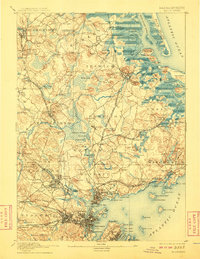
1908 edition
15.4 x 19.9 inches
1912 edition
15.4 x 19.7 inches
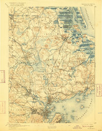
1916 edition
15.3 x 19.7 inches
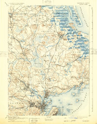
1932 edition
15.5 x 19.7 inches
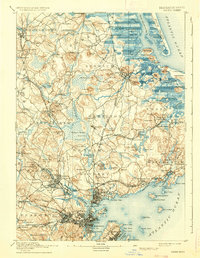
1936 edition
15.4 x 19.8 inches
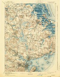
1940 edition
15.4 x 19.8 inches
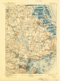
1944 edition
15.3 x 20.6 inches
Other maps of this area

1886 · Gloucester
USGS Topo · 1:62,500

1886 · Lawrence
USGS Topo · 1:62,500

1888 · Newburyport
USGS Topo · 1:62,500

1888 · Haverhill
USGS Topo · 1:62,500

1888 · Gloucester
USGS Topo · 1:62,500

1888 · Lawrence
USGS Topo · 1:62,500

1888 · Salem
USGS Topo · 1:62,500

1890 · Haverhill
USGS Topo · 1:62,500

1890 · Newburyport
USGS Topo · 1:62,500

1892 · Boston Bay
USGS Topo · 1:62,500