
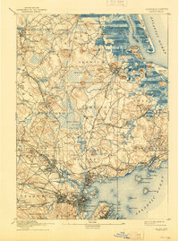
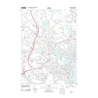
1888 Map of Salem
USGS Topo · Published 1888About this map
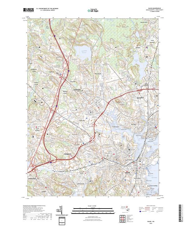
Dummer Academy stands in the northern reaches of the North Shore, anchoring a landscape defined by tidal inlets and industrial growth in the late nineteenth century. The region is a dense network of rail corridors, with the Boston and Maine Railroad Eastern Division and several branches connecting coastal villages like Manchester and Beverly to inland hubs. Significant institutional and industrial landmarks are evident, including the Insane Asylum in Danvers and a Box Factory near Topsfield. Along the coast, the Ipswich Light guides traffic near Plum Island River, while inland, the terrain is dotted with family-named hills and small settlements such as Chaplinville and Glen Mills. The concentration of stations, from Prides Crossing to Tapleyville Station, illustrates the vital role of the rail system in the local economy and social structure during this period of Massachusetts history.
Find a feature on this map
193 named features on this map. Tap any name to fly to it.
Don’t see what you’re looking for? This feature index may not catch every label — zoom into the map to look around manually.
Map Details
Editions of this 1888 Salem Map
This is the sole edition of this map. No revisions or reprints were ever made.
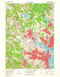
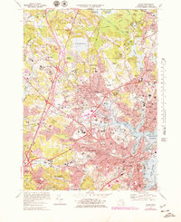
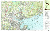
Historical Maps of Lynn Through Time
15 maps found
1888 Salem
Essex County, MA
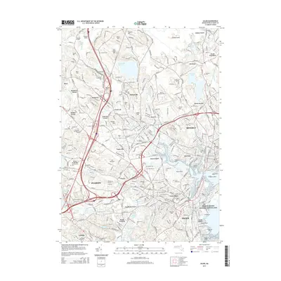
1893 Salem
Essex County, MA

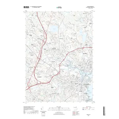
1917 Salem
Essex County, MA
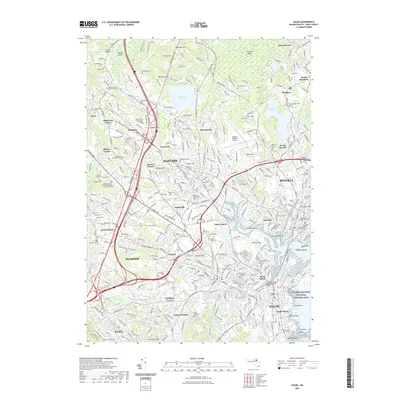
1919 Salem
Essex County, MA
1944 Salem
Essex County, MA
1949 Salem
Essex County, MA
1956 Salem
Essex County, MA
1970 Salem
Essex County, MA
1977 Salem
Essex County, MA
1985 Salem
Essex County, MA
2012 Salem
Essex County, MA
2015 Salem
Essex County, MA
2018 Salem
Essex County, MA
2021 Salem
Essex County, MA
2024 Salem
Essex County, MA