
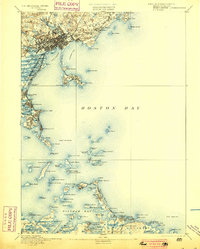
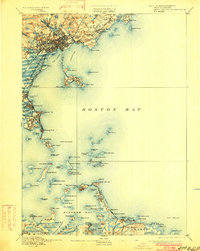
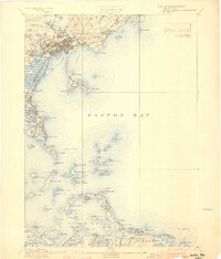
1892 Map of Boston Bay
USGS Topo · Published 1892About this map
Fort Warren stands as a sentinel on George's Island, anchoring the maritime defenses and navigational network of the outer harbor in the late nineteenth century. This coastal survey meticulously details the archipelago of Boston Bay, tracing the vital shipping lanes marked by Boston Light, Long Island Light, and the distant Minot's Ledge Light. The landscape reveals a burgeoning era of seaside leisure and transit, with the Nantasket Beach Railroad hugging the narrow peninsula toward Hull and multiple stations serving the popular stretches of Revere Beach and Lynn Beach. Along the rugged coastline, from the estates of Marblehead Neck down to the residential enclaves of Quincy and Hough's Neck, the map captures the transition from industrial riverfronts like the Saugus River to the open Atlantic, documenting every cove, ledge, and beacon essential to the maritime history of Massachusetts.
Find a feature on this map
137 named features on this map. Tap any name to fly to it.
Don’t see what you’re looking for? This feature index may not catch every label — zoom into the map to look around manually.
Map Details
Editions of this 1892 Boston Bay Map
4 editions found
Other maps of this area

1885 · Abington
USGS Topo · 1:62,500

1885 · Duxbury
USGS Topo · 1:62,500

1886 · Gloucester
USGS Topo · 1:62,500

1886 · Lawrence
USGS Topo · 1:62,500

1886 · Dedham
USGS Topo · 1:62,500

1888 · Duxbury
USGS Topo · 1:62,500

1888 · Gloucester
USGS Topo · 1:62,500

1888 · Lawrence
USGS Topo · 1:62,500

1888 · Salem
USGS Topo · 1:62,500

1888 · Abington
USGS Topo · 1:62,500