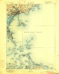
1892 Map of Boston Bay
USGS Topo · Published 1901About this map
The maritime landscape of the Massachusetts coast near Lynn and Marblehead is defined by an intricate network of late-nineteenth-century rail lines and coastal defenses. Surveyed before the turn of the century, the geography shows the original configurations of Nahant Beach and the narrow corridor of the Revere Beach and Lynn R.R. connecting seaside communities. The map captures a high level of detail along the harbor's edge, from the industrial reaches of East Saugus to the isolated prominence of Egg Rock Light.
Find a feature on this map
140 named features on this map. Tap any name to fly to it.
Don’t see what you’re looking for? This feature index may not catch every label — zoom into the map to look around manually.
Map Details
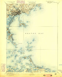
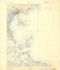
Editions of this 1892 Boston Bay Map
4 editions found

Other maps of this area

1885 · Abington
USGS Topo · 1:62,500

1885 · Duxbury
USGS Topo · 1:62,500

1886 · Gloucester
USGS Topo · 1:62,500

1886 · Lawrence
USGS Topo · 1:62,500

1886 · Dedham
USGS Topo · 1:62,500

1888 · Duxbury
USGS Topo · 1:62,500

1888 · Gloucester
USGS Topo · 1:62,500

1888 · Lawrence
USGS Topo · 1:62,500

1888 · Salem
USGS Topo · 1:62,500

1888 · Abington
USGS Topo · 1:62,500