
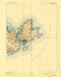
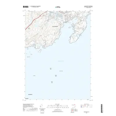
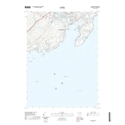
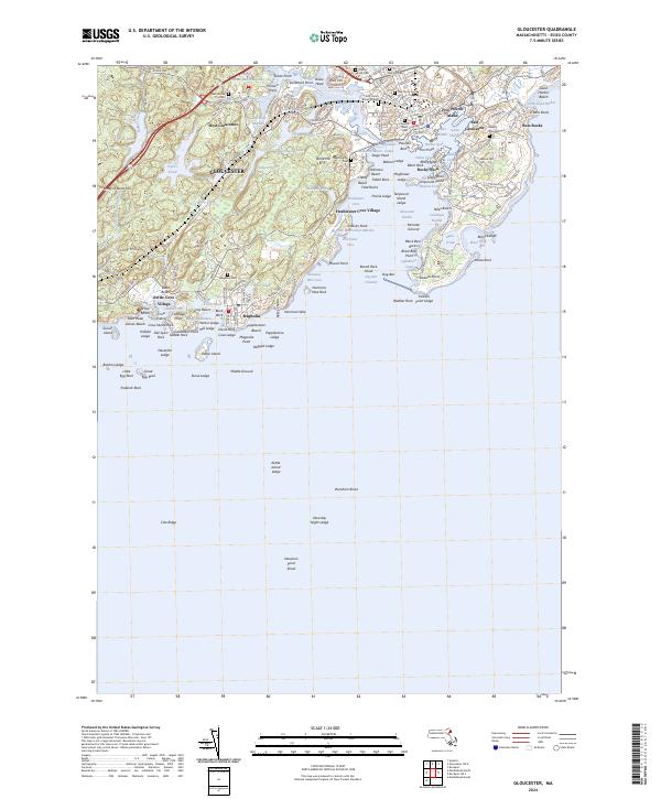
1886 Map of Gloucester
USGS Topo · Published 1886About this map
Cape Ann's maritime character is etched into every cove and point in this detailed study of the late nineteenth-century Massachusetts coast. The bustling hub of Gloucester serves as the focal point, where the Boston and Maine Railroad reaches the waterfront, connecting the fishing industry to inland markets. Dense settlement patterns at East Gloucester and the village of Annisquam reflect a landscape shaped by both the sea and the granite industry, particularly near Pigeon Cove and Lanesville.
Find a feature on this map
72 named features on this map. Tap any name to fly to it.
Don’t see what you’re looking for? This feature index may not catch every label — zoom into the map to look around manually.
Map Details
Editions of this 1886 Gloucester Map
This is the sole edition of this map. No revisions or reprints were ever made.
Historical Maps of Salem Through Time
11 maps found
1886 Gloucester
Essex County, MA

1888 Gloucester
Essex County, MA
1893 Gloucester
Essex County, MA

1918 Gloucester
Essex County, MA

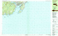
1984 Gloucester
Essex County, MA
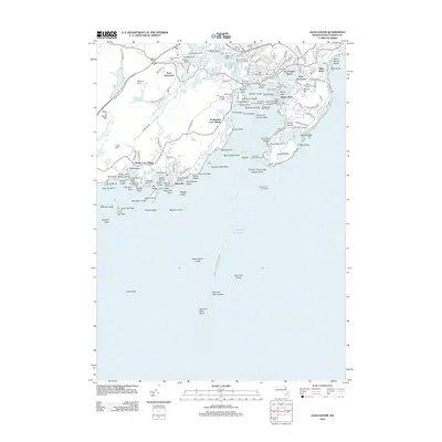
1984 Gloucester
Essex County, MA
2012 Gloucester
Essex County, MA
2015 Gloucester
Essex County, MA
2018 Gloucester
Essex County, MA
2021 Gloucester
Essex County, MA
2024 Gloucester
Essex County, MA