
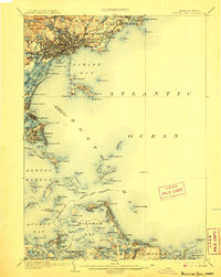
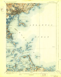
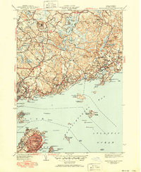
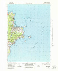
1903 Map of Boston Bay
USGS Topo · Published 1903About this map
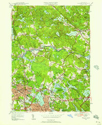
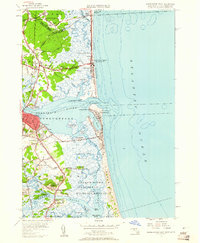
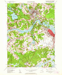
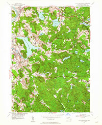
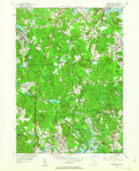
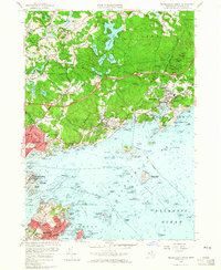
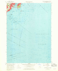
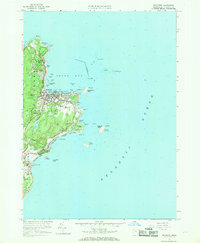
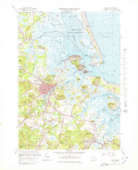
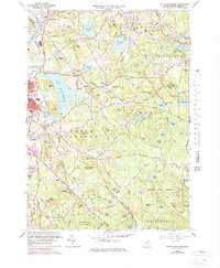
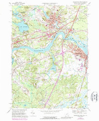
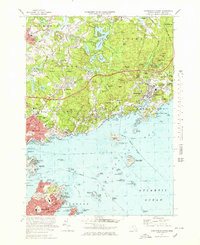
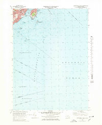
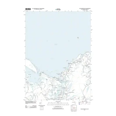
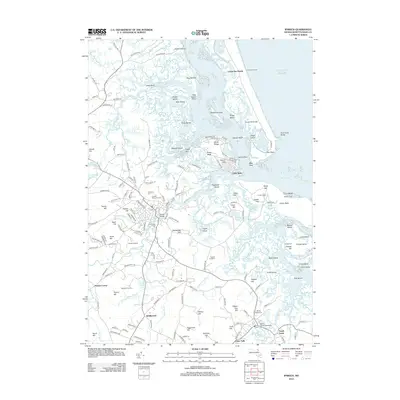
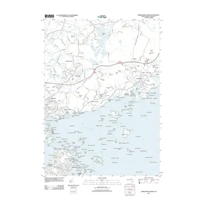
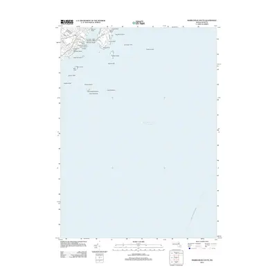
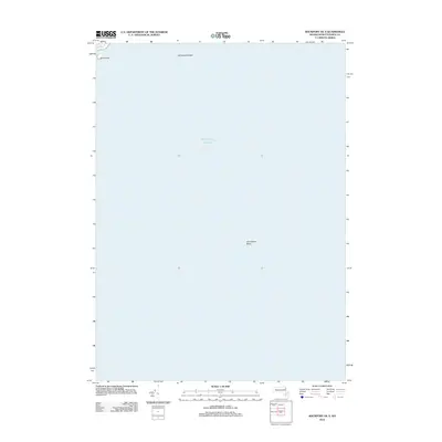
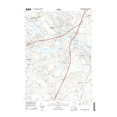
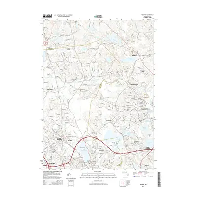
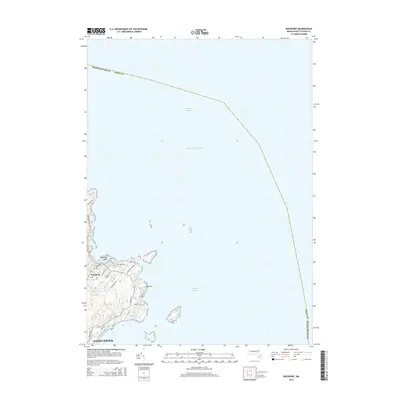
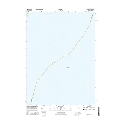
The Massachusetts coastline near the turn of the century reveals a landscape defined by maritime industry and burgeoning leisure travel. Dense urban clusters in Lynn and Peabody are balanced by the preserved wilds of Lynn Woods, while the intricate shoreline of Boston Harbor is dotted with strategic navigational and military installations. Maritime safety is anchored by landmarks like Egg Rock L.H., Boston L.H., and the Boston L.S. lightship stationed offshore.
Find a feature on this map
134 named features on this map. Tap any name to fly to it.
Don’t see what you’re looking for? This feature index may not catch every label — zoom into the map to look around manually.
Map Details
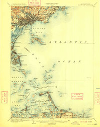
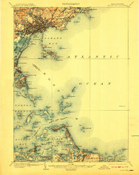
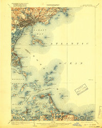
Editions of this 1903 Boston Bay Map
9 editions found
Historical Maps of Boston Through Time
95 maps found
1892 Boston Bay
Essex County, MA
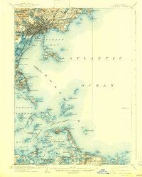
1903 Boston Bay
Essex County, MA

1943 Cape Ann
Essex County, MA

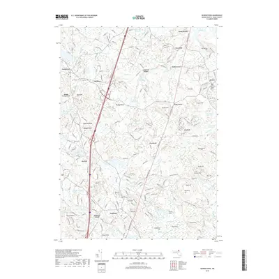
1944 Georgetown
Essex County, MA
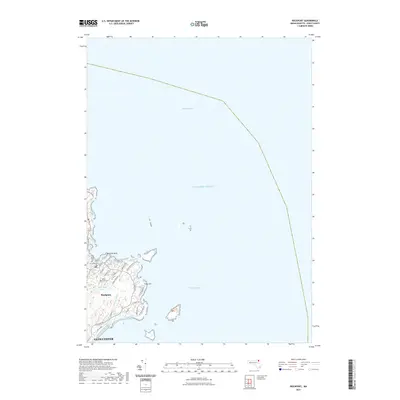
1944 Newburyport West
Essex County, MA

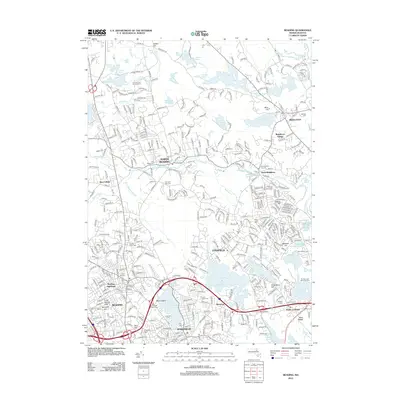
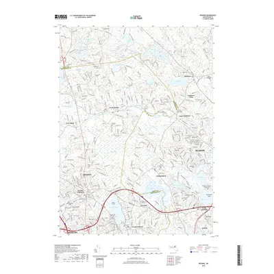
1944 Reading
Essex County, MA
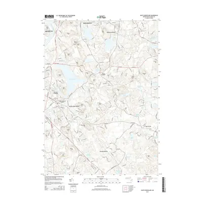
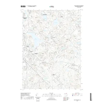
1944 South Groveland
Essex County, MA
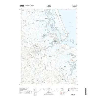
1945 Ipswich
Essex County, MA
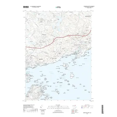
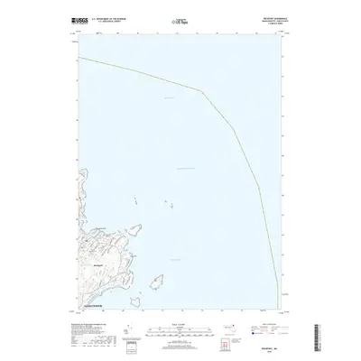
1945 Marblehead North
Essex County, MA

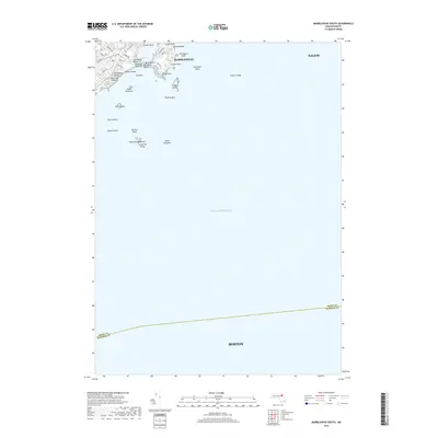
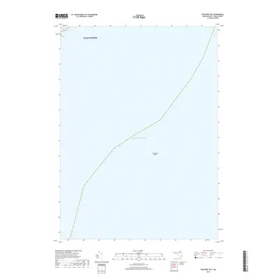
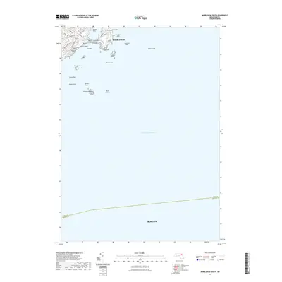
1945 Marblehead South
Essex County, MA
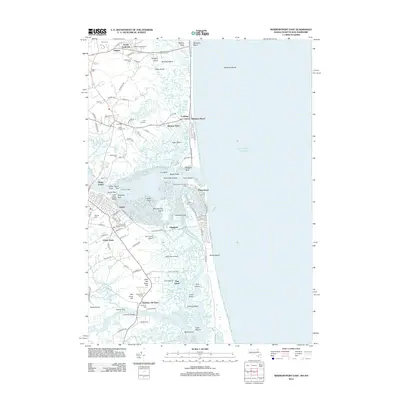
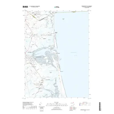
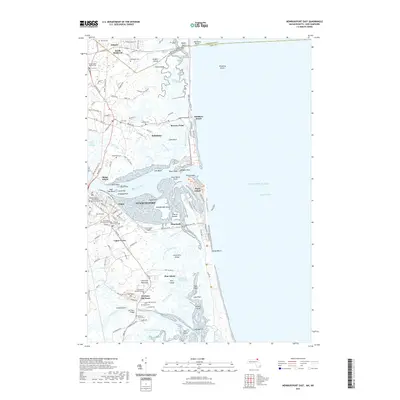
1945 Newburyport East
Essex County, MA
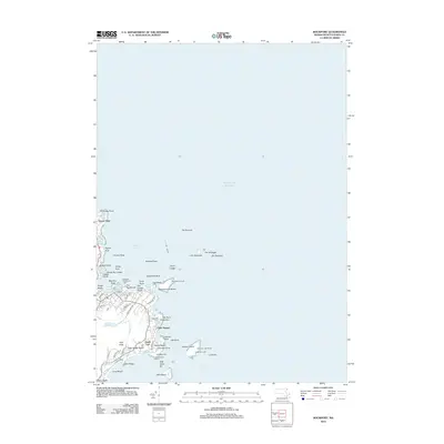
1945 Rockport
Essex County, MA

1947 Rockport
Essex County, MA

1949 Rockport
Essex County, MA
1950 Ipswich
Essex County, MA
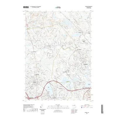
1951 Reading
Essex County, MA
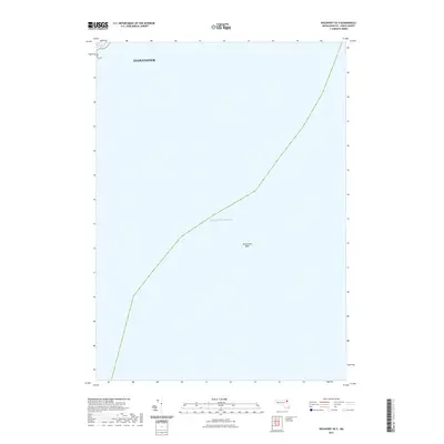
1952 Newburyport East
Essex County, MA
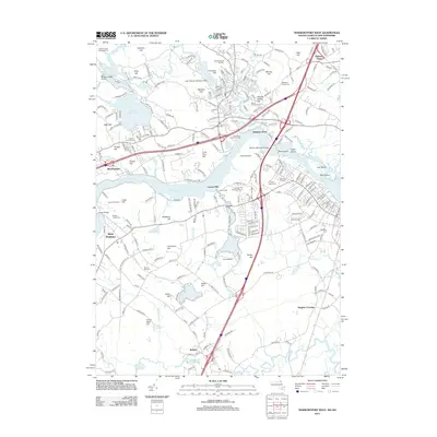
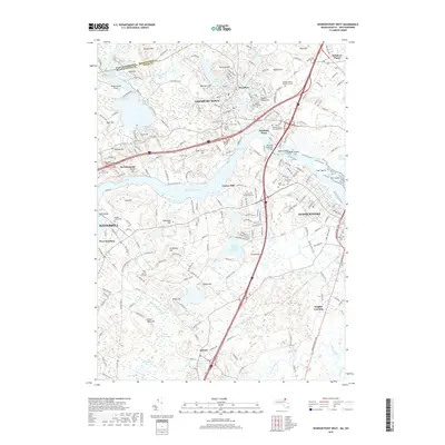
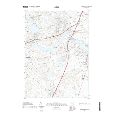
1952 Newburyport West
Essex County, MA
1952 South Groveland
Essex County, MA
1953 Georgetown
Essex County, MA
1956 Marblehead North
Essex County, MA
1956 Marblehead South
Essex County, MA
1960 Rockport
Essex County, MA
1966 Georgetown
Essex County, MA
1966 Ipswich
Essex County, MA
1966 Newburyport East
Essex County, MA
1966 Reading
Essex County, MA
1966 South Groveland
Essex County, MA
1968 Newburyport West
Essex County, MA
1970 Marblehead North
Essex County, MA
1970 Marblehead South
Essex County, MA
1973 Rockport
Essex County, MA

1977 Marblehead North
Essex County, MA

1977 Marblehead South
Essex County, MA

1977 Newburyport East
Essex County, MA

1977 Newburyport West
Essex County, MA

1977 Reading
Essex County, MA
1984 Rockport
Essex County, MA
1985 Ipswich
Essex County, MA

1997 Ipswich
Essex County, MA
2012 Georgetown
Essex County, MA
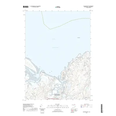
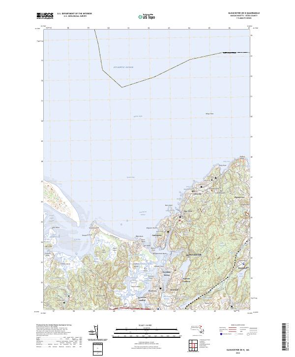
2012 Gloucester OE N
Essex County, MA
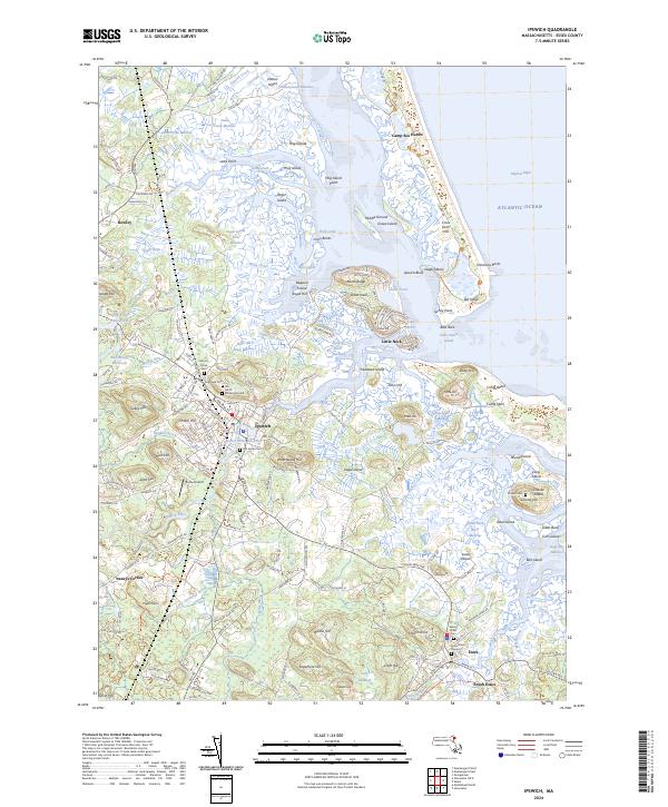
2012 Ipswich
Essex County, MA
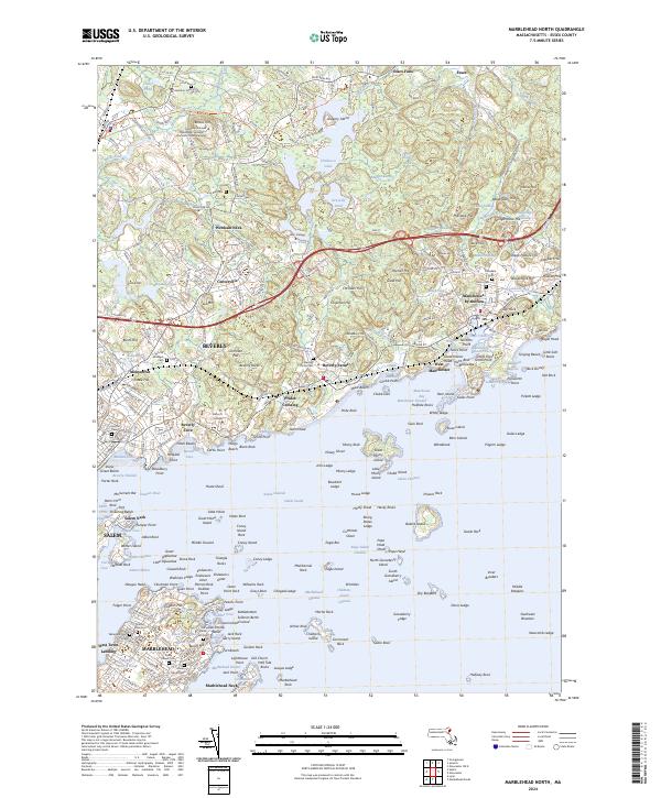
2012 Marblehead North
Essex County, MA
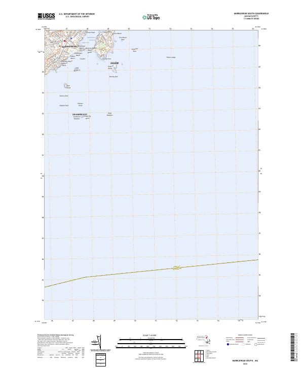
2012 Marblehead South
Essex County, MA
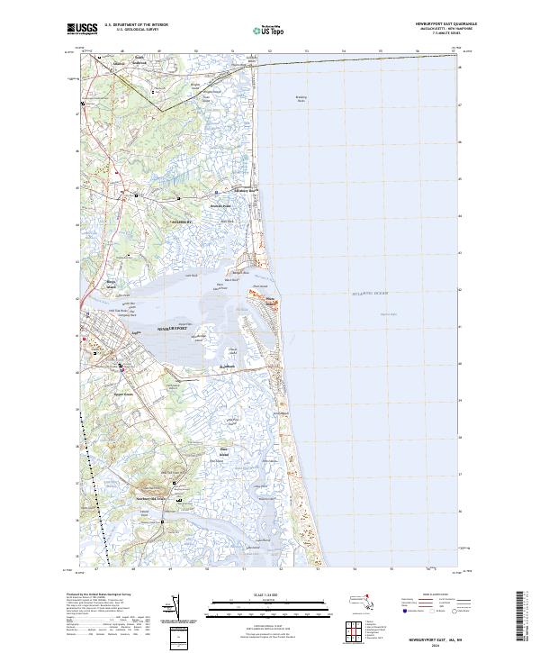
2012 Newburyport East
Essex County, MA
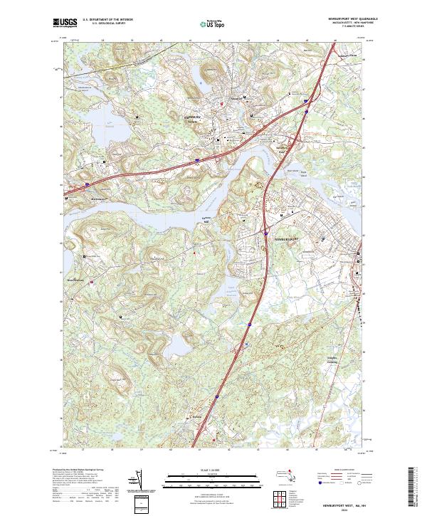
2012 Newburyport West
Essex County, MA
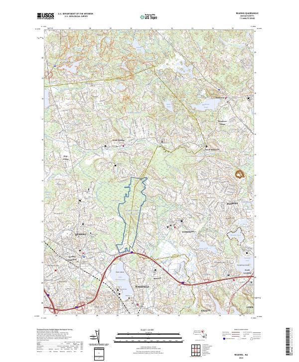
2012 Reading
Essex County, MA
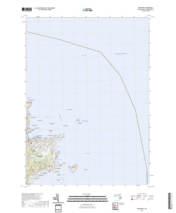
2012 Rockport
Essex County, MA
2012 Rockport OE S
Essex County, MA
2012 South Groveland
Essex County, MA
2015 Georgetown
Essex County, MA
2015 Gloucester OE N
Essex County, MA
2015 Ipswich
Essex County, MA
2015 Marblehead North
Essex County, MA
2015 Marblehead South
Essex County, MA
2015 Newburyport East
Essex County, MA
2015 Newburyport West
Essex County, MA
2015 Reading
Essex County, MA
2015 Rockport
Essex County, MA
2015 Rockport OE S
Essex County, MA
2015 South Groveland
Essex County, MA
2018 Georgetown
Essex County, MA
2018 Gloucester OE N
Essex County, MA
2018 Ipswich
Essex County, MA
2018 Marblehead North
Essex County, MA
2018 Marblehead South
Essex County, MA
2018 Newburyport East
Essex County, MA
2018 Newburyport West
Essex County, MA
2018 Reading
Essex County, MA
2018 Rockport
Essex County, MA
2018 Rockport OE S
Essex County, MA
2018 South Groveland
Essex County, MA
2021 Georgetown
Essex County, MA
2021 Gloucester OE N
Essex County, MA
2021 Ipswich
Essex County, MA
2021 Marblehead North
Essex County, MA
2021 Marblehead South
Essex County, MA
2021 Newburyport East
Essex County, MA
2021 Newburyport West
Essex County, MA
2021 Reading
Essex County, MA
2021 Rockport
Essex County, MA
2021 Rockport OE S
Essex County, MA
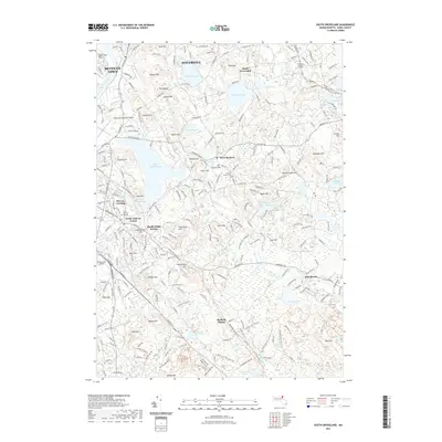
2021 South Groveland
Essex County, MA
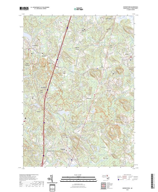
2024 Georgetown
Essex County, MA
2024 Gloucester OE N
Essex County, MA
2024 Ipswich
Essex County, MA
2024 Marblehead North
Essex County, MA
2024 Marblehead South
Essex County, MA
2024 Newburyport East
Essex County, MA
2024 Newburyport West
Essex County, MA
2024 Reading
Essex County, MA
2024 Rockport
Essex County, MA
2024 Rockport OE S
Essex County, MA
2024 South Groveland
Essex County, MA