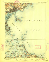
1903 Map of Boston Bay
USGS Topo · Published 1909About this map
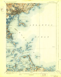
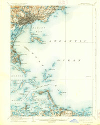
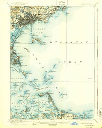
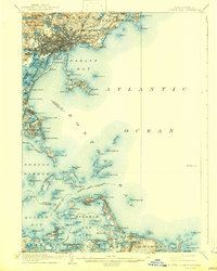
Nahant and its connected islands dominate the coastal approach in this early twentieth-century survey of the Massachusetts shoreline. The intricate maritime geography of Boston Harbor is meticulously detailed, showing the defensive placement of Ft. Warren on Georges Island and the lighthouse at Minots Ledge L.H. guarding the southern reaches. The landscape reflects an era when coastal rail lines like the B. R. B. and L. R.R. and the Boston and Maine R.R. were essential for connecting shore communities from Winthrop to Cohasset.
Find a feature on this map
135 named features on this map. Tap any name to fly to it.
Don’t see what you’re looking for? This feature index may not catch every label — zoom into the map to look around manually.
Map Details
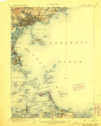
Editions of this 1903 Boston Bay Map
9 editions found

Other maps of this area

1885 · Abington
USGS Topo · 1:62,500

1885 · Duxbury
USGS Topo · 1:62,500

1886 · Gloucester
USGS Topo · 1:62,500

1886 · Lawrence
USGS Topo · 1:62,500

1886 · Dedham
USGS Topo · 1:62,500

1888 · Duxbury
USGS Topo · 1:62,500

1888 · Gloucester
USGS Topo · 1:62,500

1888 · Lawrence
USGS Topo · 1:62,500

1888 · Salem
USGS Topo · 1:62,500

1888 · Abington
USGS Topo · 1:62,500