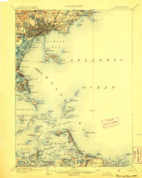
1903 Map of Boston Bay
USGS Topo · Published 1906About this map
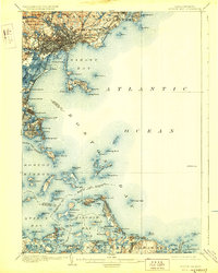
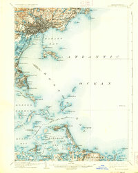
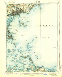
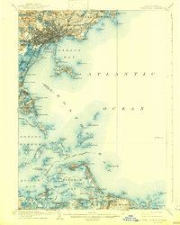
Nahant Bay and the intricate archipelago of islands surrounding the harbor dominate this coastal survey conducted at the turn of the century. The map illustrates a densely interconnected maritime landscape where the Boston Revere Beach and Lynn R.R. skirts the shoreline, serving burgeoning seaside settlements like Beachmont and Crescent Beach. The defensive infrastructure of the era is evident at Ft. Warren on Georges Island, while navigational safety is marked by numerous lighthouses including Boston L.H. and the isolated Minots Ledge L.H..
Find a feature on this map
136 named features on this map. Tap any name to fly to it.
Don’t see what you’re looking for? This feature index may not catch every label — zoom into the map to look around manually.
Map Details
Editions of this 1903 Boston Bay Map
9 editions found

Other maps of this area

1885 · Abington
USGS Topo · 1:62,500

1885 · Duxbury
USGS Topo · 1:62,500

1886 · Gloucester
USGS Topo · 1:62,500

1886 · Lawrence
USGS Topo · 1:62,500

1886 · Dedham
USGS Topo · 1:62,500

1888 · Duxbury
USGS Topo · 1:62,500

1888 · Gloucester
USGS Topo · 1:62,500

1888 · Lawrence
USGS Topo · 1:62,500

1888 · Salem
USGS Topo · 1:62,500

1888 · Abington
USGS Topo · 1:62,500