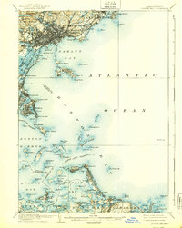
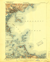
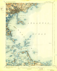
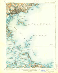
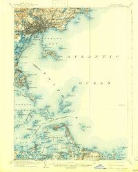
1903 Map of Boston Bay
USGS Topo · Published 1939About this map
Boston Harbor is mapped here at the dawn of the twentieth century, showing a maritime landscape defined by its defensive fortifications and growing coastal leisure hubs. From the rocky northern reaches of Marblehead Neck down to the southern sweep of Nantasket Beach, the coastline is a complex network of island landmarks and deep-water channels. Significant maritime infrastructure includes the Egg Rock L.H. and the strategic position of Ft. Warren on Georges I., guarding The Narrows.
Find a feature on this map
135 named features on this map. Tap any name to fly to it.
Don’t see what you’re looking for? This feature index may not catch every label — zoom into the map to look around manually.
Map Details
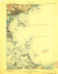
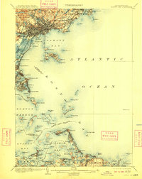
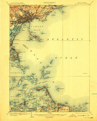
Editions of this 1903 Boston Bay Map
9 editions found

Other maps of this area

1885 · Abington
USGS Topo · 1:62,500

1885 · Duxbury
USGS Topo · 1:62,500

1886 · Gloucester
USGS Topo · 1:62,500

1886 · Lawrence
USGS Topo · 1:62,500

1886 · Dedham
USGS Topo · 1:62,500

1888 · Duxbury
USGS Topo · 1:62,500

1888 · Gloucester
USGS Topo · 1:62,500

1888 · Lawrence
USGS Topo · 1:62,500

1888 · Salem
USGS Topo · 1:62,500

1888 · Abington
USGS Topo · 1:62,500