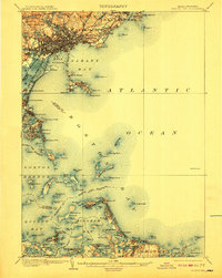
1903 Map of Boston Bay
USGS Topo · Published 1910About this map
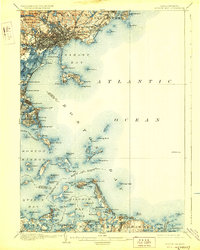
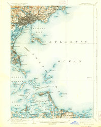
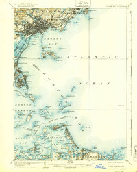
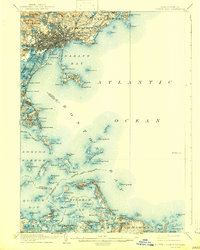
Boston Harbor and its surrounding coastal communities are meticulously detailed in this early twentieth-century survey, showcasing the intricate relationship between the Massachusetts shoreline and the Atlantic Ocean. The map traces a coastline defined by industrial hubs and summer retreats, from Peabody and Lynn in the north down to Cohasset and Scituate in the south. Defensive fortifications and navigational aids are prominent, including Ft. Warren on Georges Island and the famous Boston L.H. at the harbor's entrance. The transit infrastructure of the era is evident through the path of the Boston Revere Beach and Lynn R.R., which served the growing seaside resorts. Inland, the protected landscape of Lynn Woods contrasts with the dense settlement patterns of Winthrop and Hull. This document captures the harbor's islands before modern expansions altered their footprints, including Deer Island and Spectacle Island.
Find a feature on this map
138 named features on this map. Tap any name to fly to it.
Don’t see what you’re looking for? This feature index may not catch every label — zoom into the map to look around manually.
Map Details
Editions of this 1903 Boston Bay Map
9 editions found

Other maps of this area

1885 · Abington
USGS Topo · 1:62,500

1885 · Duxbury
USGS Topo · 1:62,500

1886 · Gloucester
USGS Topo · 1:62,500

1886 · Lawrence
USGS Topo · 1:62,500

1886 · Dedham
USGS Topo · 1:62,500

1888 · Duxbury
USGS Topo · 1:62,500

1888 · Gloucester
USGS Topo · 1:62,500

1888 · Lawrence
USGS Topo · 1:62,500

1888 · Salem
USGS Topo · 1:62,500

1888 · Abington
USGS Topo · 1:62,500