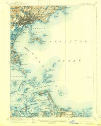
1903 Map of Boston Bay
USGS Topo · Published 1943About this map
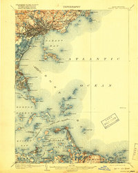
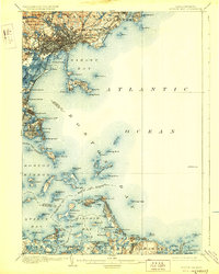
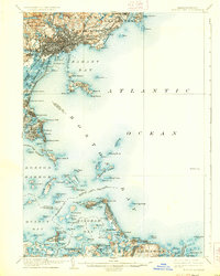
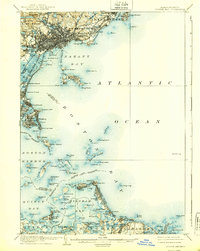
Boston Harbor and the surrounding coastline are captured here in a transition from nineteenth-century maritime defense to early twentieth-century recreation and industry. The coast is defined by its critical navigational aids and military installations, including Boston L. H., Minots Ledge L. H., and Ft. Warren on Georges I. Further north, the expanding residential and resort hubs of Swampscott and Marblehead are linked by the Boston and Maine R. R., while the Boston Revere Beach and Lynn R. R. serves the beaches at Revere Beach and Crescent Beach. Inland, the landscape of Lynn is dominated by the protected acreage of Lynn Woods and several reservoirs like Breeds Pond. The complex topography of Hingham Bay and the islands like Peddocks Island reveal a coastline before modern industrial filling and expansion fully reshaped the harbor's southern reaches.
Find a feature on this map
125 named features on this map. Tap any name to fly to it.
Don’t see what you’re looking for? This feature index may not catch every label — zoom into the map to look around manually.
Map Details
Editions of this 1903 Boston Bay Map
9 editions found

Other maps of this area

1885 · Abington
USGS Topo · 1:62,500

1885 · Duxbury
USGS Topo · 1:62,500

1886 · Gloucester
USGS Topo · 1:62,500

1886 · Lawrence
USGS Topo · 1:62,500

1886 · Dedham
USGS Topo · 1:62,500

1888 · Duxbury
USGS Topo · 1:62,500

1888 · Gloucester
USGS Topo · 1:62,500

1888 · Lawrence
USGS Topo · 1:62,500

1888 · Salem
USGS Topo · 1:62,500

1888 · Abington
USGS Topo · 1:62,500