
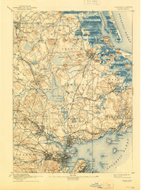
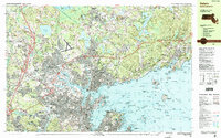
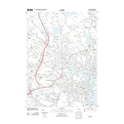
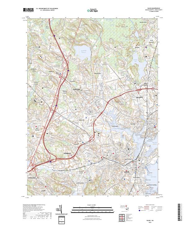
1917 Map of Salem
USGS Topo · Published 1917About this map
Salem and its bustling harbor serve as the southern anchor of this coastal survey, where the jagged Massachusetts shoreline gives way to a densely populated landscape of textile towns and maritime villages. North of the city, the Insane Asylum and nearby Asylum Station in Danvers reflect the era's institutional development, while the historic Dummer Academy sits at the northern edge in Newbury. The terrain is defined by a series of drumlins and glacial hills like Heartbreak Hill and Prospect Hill, separated by extensive wetlands including Wenham Swamp.
Find a feature on this map
211 named features on this map. Tap any name to fly to it.
Don’t see what you’re looking for? This feature index may not catch every label — zoom into the map to look around manually.
Map Details
Editions of this 1917 Salem Map
This is the sole edition of this map. No revisions or reprints were ever made.
Historical Maps of Lynn Through Time
15 maps found

1888 Salem
Essex County, MA
1893 Salem
Essex County, MA
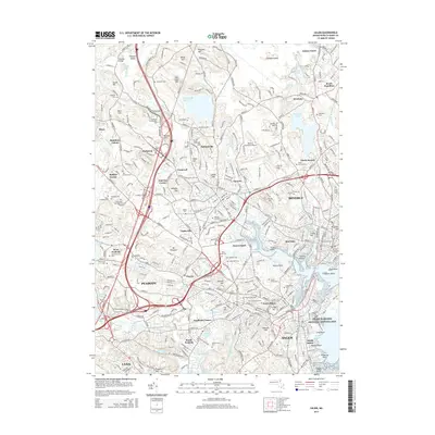
1917 Salem
Essex County, MA
1919 Salem
Essex County, MA
1944 Salem
Essex County, MA
1949 Salem
Essex County, MA
1956 Salem
Essex County, MA
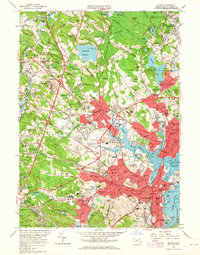
1970 Salem
Essex County, MA
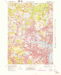
1977 Salem
Essex County, MA
1985 Salem
Essex County, MA
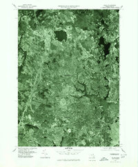
2012 Salem
Essex County, MA
2015 Salem
Essex County, MA
2018 Salem
Essex County, MA
2021 Salem
Essex County, MA
2024 Salem
Essex County, MA