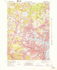
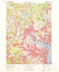
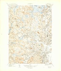
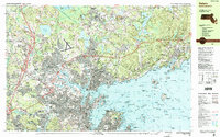
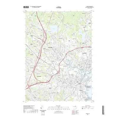
1970 Map of Salem
USGS Topo · Published 1979About this map
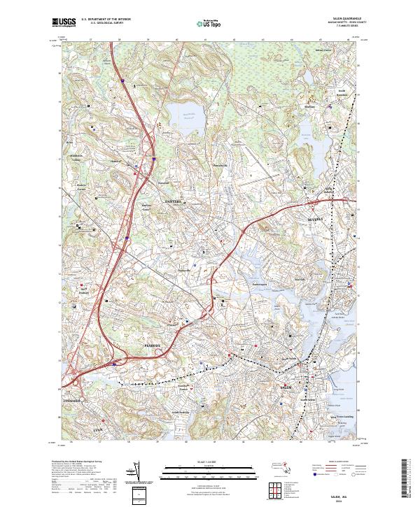
The North Shore of Massachusetts transitions from dense urban maritime centers to wooded residential uplands in this detailed 1970s study. The massive complex of the Danvers State Hospital occupies the heights at Hathorne, while the coastal economy is anchored by the Salem Terminal Wharf and Beverly Harbor. Historical preservation and modern commercial growth exist side-by-side, evidenced by the Maritime Historic Site near Derby Wharf and the emergence of the Liberty Tree Mall and North Shore Shopping Center.
Find a feature on this map
165 named features on this map. Tap any name to fly to it.
Don’t see what you’re looking for? This feature index may not catch every label — zoom into the map to look around manually.
Map Details
Editions of this 1970 Salem Map
2 editions found
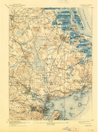
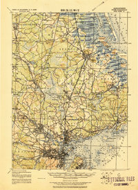
Historical Maps of Lynn Through Time
15 maps found

1888 Salem
Essex County, MA
1893 Salem
Essex County, MA

1917 Salem
Essex County, MA
1919 Salem
Essex County, MA
1944 Salem
Essex County, MA
1949 Salem
Essex County, MA
1956 Salem
Essex County, MA
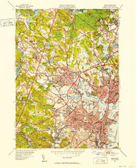
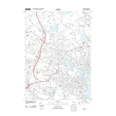
1970 Salem
Essex County, MA
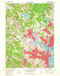
1977 Salem
Essex County, MA
1985 Salem
Essex County, MA
2012 Salem
Essex County, MA
2015 Salem
Essex County, MA
2018 Salem
Essex County, MA
2021 Salem
Essex County, MA
2024 Salem
Essex County, MA