
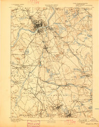
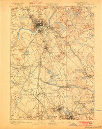
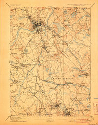
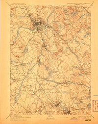
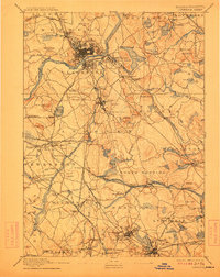
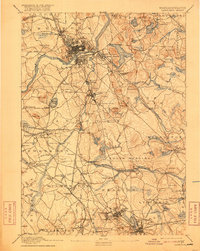
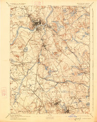
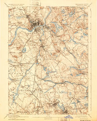
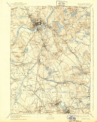
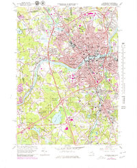
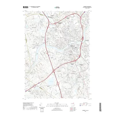
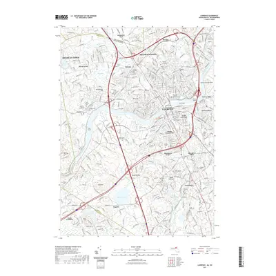
1893 Map of Lawrence
USGS Topo · Published 1893About this map
The industrial and institutional landscape of northeast Massachusetts is defined here by the Merrimac River, where the dense grid of Lawrence and South Lawrence sits at the heart of a massive railroad network. This late 19th-century survey captures the region's complexity, from the sprawling Andover Theological Seminary and the prominent State Almshouse in Tewksbury to specialized industrial nodes like the Machine shop Station in North Andover.
Find a feature on this map
148 named features on this map. Tap any name to fly to it.
Don’t see what you’re looking for? This feature index may not catch every label — zoom into the map to look around manually.
Map Details
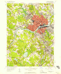
Editions of this 1893 Lawrence Map
10 editions found
Historical Maps of Lynn Through Time
13 maps found

1886 Lawrence
Essex County, MA

1888 Lawrence
Essex County, MA
1893 Lawrence
Essex County, MA
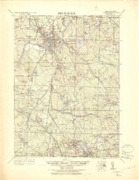
1918 Lawrence
Essex County, MA
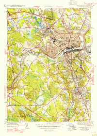
1944 Lawrence
Essex County, MA
1955 Lawrence
Essex County, MA
1966 Lawrence
Essex County, MA
1987 Lawrence
Essex County, MA
2012 Lawrence
Essex County, MA
2015 Lawrence
Essex County, MA
2018 Lawrence
Essex County, MA
2021 Lawrence
Essex County, MA
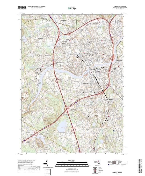
2024 Lawrence
Essex County, MA