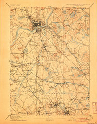
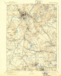
1893 Map of Lawrence
USGS Topo · Published 1906About this map
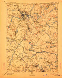
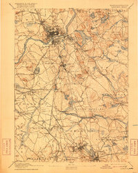
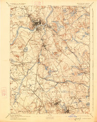
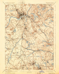
Industrial expansion along the Merrimac River defines this late nineteenth-century landscape, centered on the dense urban grid of Lawrence. As a major textile and manufacturing hub, the city is surrounded by a complex web of transport, including the Main Line of Boston and Maine Railroad and the Lawrence Br. of Boston and Lowell R.R. which connected the mills to the broader region. Outside the urban core, the map reveals a rural-to-suburban transition marked by significant institutional landmarks like the Andover Theological Seminary and the sprawling State Almshouse near Tewksbury Center.
Find a feature on this map
155 named features on this map. Tap any name to fly to it.
Don’t see what you’re looking for? This feature index may not catch every label — zoom into the map to look around manually.
Map Details
Editions of this 1893 Lawrence Map
10 editions found

Other maps of this area

1886 · Lawrence
USGS Topo · 1:62,500

1886 · Lowell
USGS Topo · 1:62,500

1886 · Framingham
USGS Topo · 1:62,500

1888 · Newburyport
USGS Topo · 1:62,500

1888 · Haverhill
USGS Topo · 1:62,500

1888 · Lawrence
USGS Topo · 1:62,500

1888 · Salem
USGS Topo · 1:62,500

1889 · Framingham
USGS Topo · 1:62,500

1890 · Haverhill
USGS Topo · 1:62,500

1890 · Newburyport
USGS Topo · 1:62,500