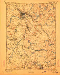
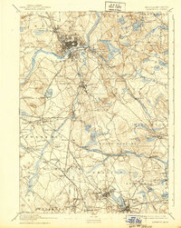
1893 Map of Lawrence
USGS Topo · Published 1912About this map
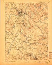
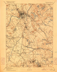
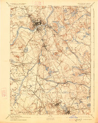
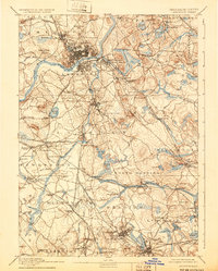
Industrial and academic life in the Merrimack Valley is centered on the dense urban grid of Lawrence, where the Merrimac River meets the Spicket River. Surveyed in the late nineteenth century, the map documents a region heavily influenced by textile manufacturing and institutional growth. The State Almshouse in Tewksbury and the Andover Theological Seminary in Andover stand as major regional landmarks.
Find a feature on this map
147 named features on this map. Tap any name to fly to it.
Don’t see what you’re looking for? This feature index may not catch every label — zoom into the map to look around manually.
Map Details
Editions of this 1893 Lawrence Map
10 editions found

Other maps of this area

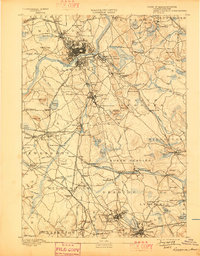
1886 · Lawrence
USGS Topo · 1:62,500

1886 · Lowell
USGS Topo · 1:62,500

1886 · Framingham
USGS Topo · 1:62,500

1888 · Newburyport
USGS Topo · 1:62,500

1888 · Haverhill
USGS Topo · 1:62,500

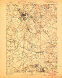
1888 · Lawrence
USGS Topo · 1:62,500

1888 · Salem
USGS Topo · 1:62,500

1889 · Framingham
USGS Topo · 1:62,500

1890 · Haverhill
USGS Topo · 1:62,500

1890 · Newburyport
USGS Topo · 1:62,500