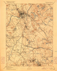
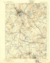
1893 Map of Lawrence
USGS Topo · Published 1916About this map
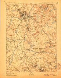
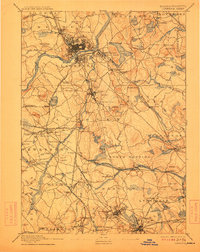
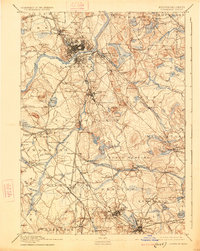
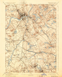
The Merrimac River anchors this industrial and academic landscape, flowing through the heart of Lawrence where a dense network of mills and rail yards defines the late 19th-century economy. North of the river, the Spicket River and Mystic Pond sit near the border with New Hampshire. To the south, the region transitions into the educational and institutional grounds of Andover, marked by the Andover Theological Seminary and the prominent State Almshouse near Tewksbury Center.
Find a feature on this map
141 named features on this map. Tap any name to fly to it.
Don’t see what you’re looking for? This feature index may not catch every label — zoom into the map to look around manually.
Map Details
Editions of this 1893 Lawrence Map
10 editions found

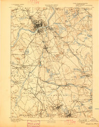
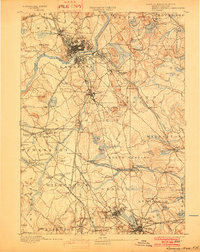
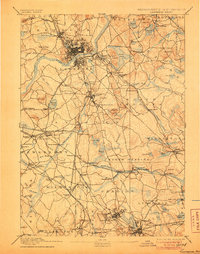
Other maps of this area

1886 · Lawrence
USGS Topo · 1:62,500

1886 · Lowell
USGS Topo · 1:62,500

1886 · Framingham
USGS Topo · 1:62,500

1888 · Newburyport
USGS Topo · 1:62,500

1888 · Haverhill
USGS Topo · 1:62,500

1888 · Lawrence
USGS Topo · 1:62,500

1888 · Salem
USGS Topo · 1:62,500

1889 · Framingham
USGS Topo · 1:62,500

1890 · Haverhill
USGS Topo · 1:62,500

1890 · Newburyport
USGS Topo · 1:62,500