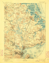
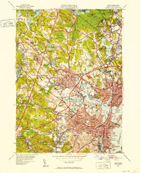
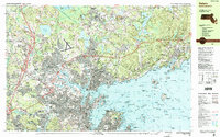
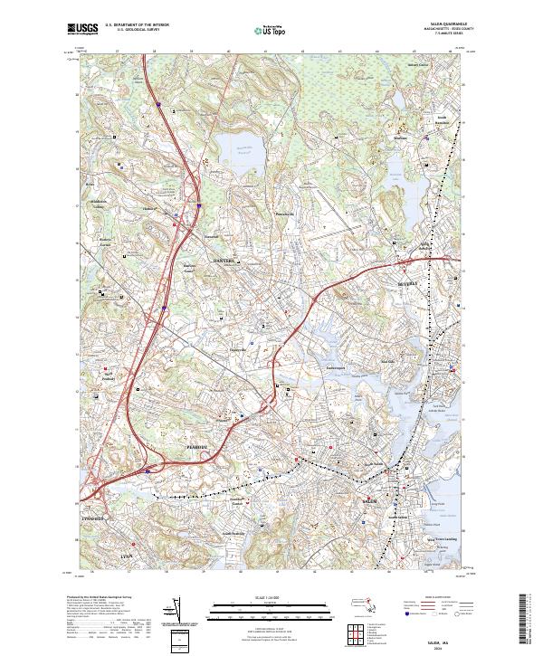
1893 Map of Salem
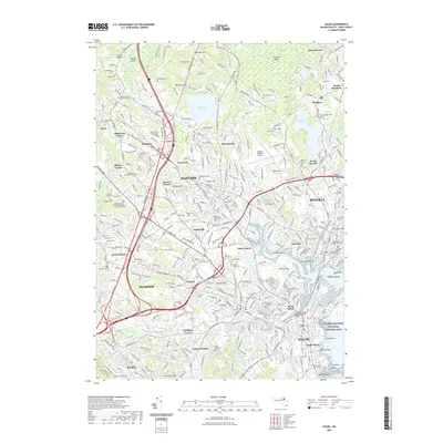
USGS Topo · Published 1932About this map
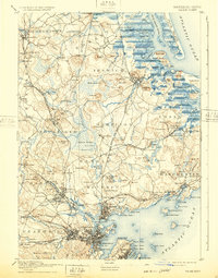
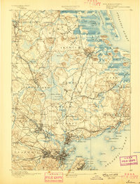
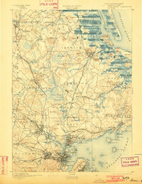
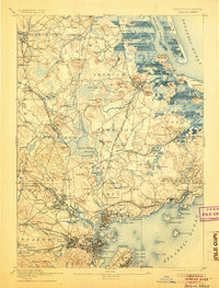
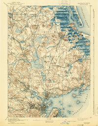
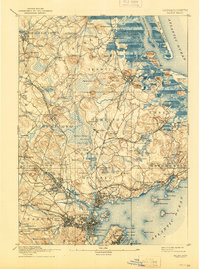
Dummer Academy stands as a prominent landmark in this late 19th-century coastal landscape, situated within a dense network of towns including Rowley, Ipswich, and Hamilton. The region’s development is defined by an intricate web of rail lines, most notably the Eastern Division and the Newburyport Branch of Boston and Maine, which connect manufacturing sites like the Box Factory to coastal hubs. From the tidal marshes of Plum Island River to the inland waters of Chebacco Lake, the map documents a transition from maritime reliance to industrial expansion.
Find a feature on this map
200 named features on this map. Tap any name to fly to it.
Don’t see what you’re looking for? This feature index may not catch every label — zoom into the map to look around manually.
Map Details
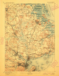
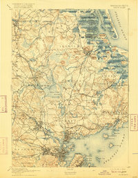
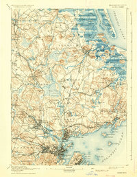
Editions of this 1893 Salem Map
11 editions found

1893 edition
15.5 x 20 inches
1897 edition
15.3 x 20.1 inches
1902 edition
15.4 x 19.9 inches
1905 edition
15.2 x 20 inches
1908 edition
15.4 x 19.9 inches
1912 edition
15.4 x 19.7 inches
1916 edition
15.3 x 19.7 inches
1932 edition
15.5 x 19.7 inches
1936 edition
15.4 x 19.8 inches
1940 edition
15.4 x 19.8 inches
1944 edition
15.3 x 20.6 inches
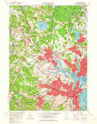
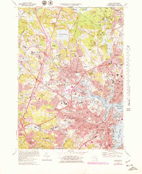
Historical Maps of Lynn Through Time
15 maps found

1888 Salem
Essex County, MA
1893 Salem
Essex County, MA

1917 Salem
Essex County, MA
1919 Salem
Essex County, MA
1944 Salem
Essex County, MA
1949 Salem
Essex County, MA
1956 Salem
Essex County, MA
1970 Salem
Essex County, MA
1977 Salem
Essex County, MA
1985 Salem
Essex County, MA
2012 Salem
Essex County, MA
2015 Salem
Essex County, MA
2018 Salem
Essex County, MA
2021 Salem
Essex County, MA
2024 Salem
Essex County, MA