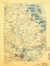
1893 Map of Salem
USGS Topo · Published 1905About this map
The Massachusetts North Shore shoreline is intricately detailed in this late nineteenth-century survey, showcasing the maritime and rail infrastructure that defined the region before modern suburbanization. Salem and Beverly serve as the primary urban anchors, while the Boston and Maine Railroad Eastern Division and various branches like the Essex Branch connect numerous small villages and stations. Further inland, the landscape transitions to the marshes of Wenham Swamp and the hilly terrain of Georgetown, where legacy institutions like Dummer Academy and the Insane Asylum in Danvers are clearly noted. The map traces the winding paths of the Ipswich River and Parker River as they feed into the Atlantic, alongside notable coastal landmarks such as Plum Island and the Ipswich Light. This record preserves the location of many vanished or renamed stops, such as Bean Crossing and Tapleyville Station, providing a high-resolution view of the area's Victorian-era development.
Find a feature on this map
202 named features on this map. Tap any name to fly to it.
Don’t see what you’re looking for? This feature index may not catch every label — zoom into the map to look around manually.
Map Details
Editions of this 1893 Salem Map
11 editions found

1893 edition
15.5 x 20 inches
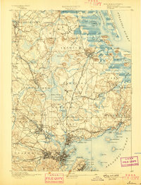
1897 edition
15.3 x 20.1 inches
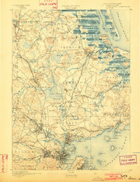
1902 edition
15.4 x 19.9 inches
1905 edition
15.2 x 20 inches
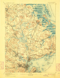
1908 edition
15.4 x 19.9 inches
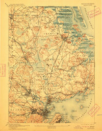
1912 edition
15.4 x 19.7 inches
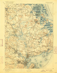
1916 edition
15.3 x 19.7 inches
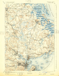
1932 edition
15.5 x 19.7 inches
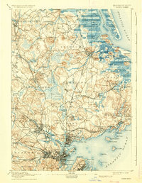
1936 edition
15.4 x 19.8 inches
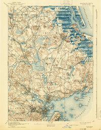
1940 edition
15.4 x 19.8 inches
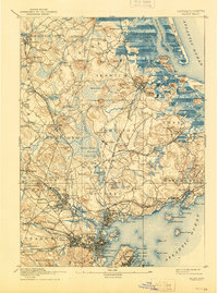
1944 edition
15.3 x 20.6 inches
Other maps of this area

1886 · Gloucester
USGS Topo · 1:62,500

1886 · Lawrence
USGS Topo · 1:62,500

1888 · Newburyport
USGS Topo · 1:62,500

1888 · Haverhill
USGS Topo · 1:62,500

1888 · Gloucester
USGS Topo · 1:62,500

1888 · Lawrence
USGS Topo · 1:62,500

1888 · Salem
USGS Topo · 1:62,500

1890 · Haverhill
USGS Topo · 1:62,500

1890 · Newburyport
USGS Topo · 1:62,500

1892 · Boston Bay
USGS Topo · 1:62,500