
1893 Map of Dover
USGS Topo · Published 1893About this map
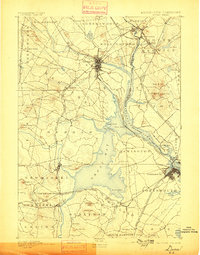
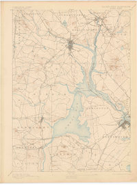
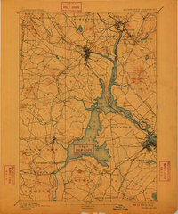
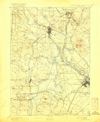
The Piscataqua River and its expansive Great Bay anchor this late-19th-century study of the Seacoast region, revealing a landscape defined by tidewater geography and a dense network of competing rail lines. Industry and transit intersect at Dover, where the Cocheco River meets the town center, and at South Berwick near the Great Works mill site. The map documents a pivotal era of regional connectivity, featuring the Boston and Maine Railroad and its various branches, including the Western Division and the Portsmouth and Dover R.R..
Find a feature on this map
79 named features on this map. Tap any name to fly to it.
Don’t see what you’re looking for? This feature index may not catch every label — zoom into the map to look around manually.
Map Details
Editions of this 1893 Dover Map
5 editions found
Other maps of this area

1888 · Newburyport
USGS Topo · 1:62,500

1888 · Haverhill
USGS Topo · 1:62,500

1890 · Haverhill
USGS Topo · 1:62,500

1890 · Newburyport
USGS Topo · 1:62,500

1891 · Berwick
USGS Topo · 1:62,500

1891 · Kennebunk
USGS Topo · 1:62,500

1893 · Kennebunk
USGS Topo · 1:62,500

1893 · Berwick
USGS Topo · 1:62,500

1893 · York
USGS Topo · 1:62,500

1893 · Haverhill
USGS Topo · 1:62,500