
1893 Map of Haverhill
USGS Topo · Published 1893About this map
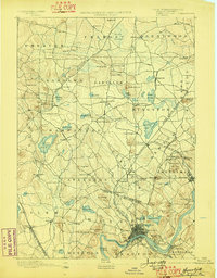
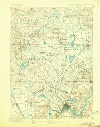
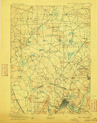
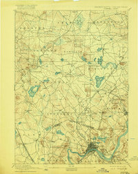
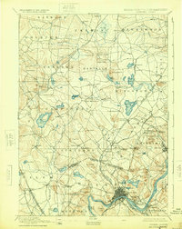
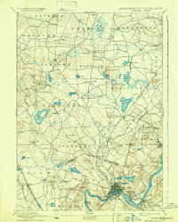
The Merrimac River anchors this 1890s landscape, serving as the industrial and geographic heart for the burgeoning city of Haverhill and the adjacent town of Bradford. At this time, the region was a critical node in the New England transit network, defined by the heavy presence of the Boston & Maine Railroad and its various branches, which connected mill towns and rural outposts. The map reveals the intricate social fabric of the era through distinct transit-oriented settlements like Newton Junction, Atkinson Depot, and Salem Depot, where commerce and daily life centered on the steam whistle.
Find a feature on this map
100 named features on this map. Tap any name to fly to it.
Don’t see what you’re looking for? This feature index may not catch every label — zoom into the map to look around manually.
Map Details
Editions of this 1893 Haverhill Map
7 editions found
Other maps of this area

1886 · Lawrence
USGS Topo · 1:62,500

1886 · Lowell
USGS Topo · 1:62,500

1888 · Newburyport
USGS Topo · 1:62,500

1888 · Haverhill
USGS Topo · 1:62,500

1888 · Lawrence
USGS Topo · 1:62,500

1888 · Salem
USGS Topo · 1:62,500

1890 · Haverhill
USGS Topo · 1:62,500

1890 · Newburyport
USGS Topo · 1:62,500

1893 · Lowell
USGS Topo · 1:62,500

1893 · Dover
USGS Topo · 1:62,500