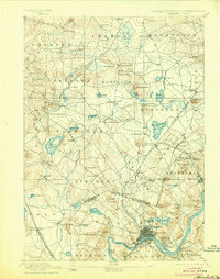
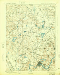
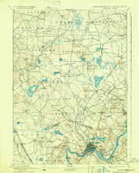
1893 Map of Haverhill
USGS Topo · Published 1904About this map
The Merrimac River serves as the industrial and geographical anchor for this region, winding past the dense urban cores of Haverhill and Bradford. In the late nineteenth century, these cities were already major shoe-manufacturing centers, and the map illustrates the complex transportation network that supported them. Several lines of the Boston & Maine Railroad, including the Main Line of B. & M. R.R. and the Georgetown Branch of B. & M. R.R., radiate from the riverbanks into the surrounding New Hampshire and Massachusetts countryside.
Find a feature on this map
105 named features on this map. Tap any name to fly to it.
Don’t see what you’re looking for? This feature index may not catch every label — zoom into the map to look around manually.
Map Details
Editions of this 1893 Haverhill Map
7 editions found

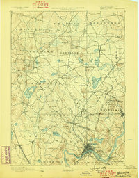
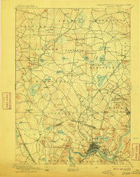
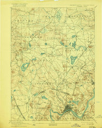
Other maps of this area

1886 · Lawrence
USGS Topo · 1:62,500

1886 · Lowell
USGS Topo · 1:62,500

1888 · Newburyport
USGS Topo · 1:62,500

1888 · Haverhill
USGS Topo · 1:62,500

1888 · Lawrence
USGS Topo · 1:62,500

1888 · Salem
USGS Topo · 1:62,500

1890 · Haverhill
USGS Topo · 1:62,500

1890 · Newburyport
USGS Topo · 1:62,500

1893 · Lowell
USGS Topo · 1:62,500

1893 · Dover
USGS Topo · 1:62,500