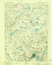
1893 Map of Haverhill
USGS Topo · Published 1932About this map
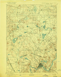
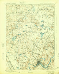
The Merrimack River serves as the industrial and geographic anchor of this late 19th-century landscape, winding past the developed centers of Haverhill and Bradford. North of the river, the landscape transitions into the rolling hills of Rockingham County, New Hampshire, where a complex network of rail lines once connected a series of tight-knit villages and depots. The Main Line of B & M R.R. and its Merrimac Branch supported local economies in towns like Plaistow, Newton Junction, and Atkinson Depot. Numerous ponds and lakes, including Island Pond, Canobie Lake, and Great Pond, are surrounded by named heights such as Rock Rimmon and Parsonage Hill, reflecting a period when these water bodies and hilltops were central landmarks for local farming and early recreational communities. The map also delineates the New Hampshire Massachusetts Boundary Line, illustrating the historical connectivity between the Merrimack Valley and the New Hampshire interior.
Find a feature on this map
105 named features on this map. Tap any name to fly to it.
Don’t see what you’re looking for? This feature index may not catch every label — zoom into the map to look around manually.
Map Details
Editions of this 1893 Haverhill Map
7 editions found

Other maps of this area

1886 · Lawrence
USGS Topo · 1:62,500

1886 · Lowell
USGS Topo · 1:62,500

1888 · Newburyport
USGS Topo · 1:62,500

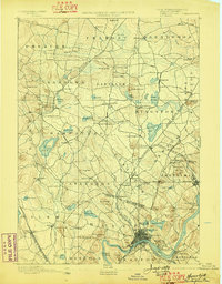
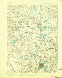
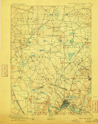
1888 · Haverhill
USGS Topo · 1:62,500

1888 · Lawrence
USGS Topo · 1:62,500

1888 · Salem
USGS Topo · 1:62,500

1890 · Haverhill
USGS Topo · 1:62,500

1890 · Newburyport
USGS Topo · 1:62,500

1893 · Lowell
USGS Topo · 1:62,500

1893 · Dover
USGS Topo · 1:62,500