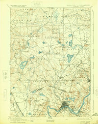
1893 Map of Haverhill
USGS Topo · Published 1924About this map
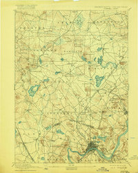
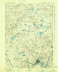
The Merrimack River serves as the focal point for this late nineteenth-century landscape, where the dense urban development of Haverhill and Bradford anchors a complex network of industrial transport. Several branches of the Boston & Maine Railroad radiate from the river valley, connecting smaller textile and manufacturing outposts like Salem Depot, Atkinson Depot, and Newton Junction. The state boundary line between New Hampshire and Massachusetts bisects the quadrangle, illustrating how regional commerce and settlement patterns ignored political borders, as seen in the continuous development through Plaistow and Merrimac.
Find a feature on this map
110 named features on this map. Tap any name to fly to it.
Don’t see what you’re looking for? This feature index may not catch every label — zoom into the map to look around manually.
Map Details
Editions of this 1893 Haverhill Map
7 editions found

Other maps of this area

1886 · Lawrence
USGS Topo · 1:62,500

1886 · Lowell
USGS Topo · 1:62,500

1888 · Newburyport
USGS Topo · 1:62,500

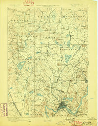
1888 · Haverhill
USGS Topo · 1:62,500

1888 · Lawrence
USGS Topo · 1:62,500

1888 · Salem
USGS Topo · 1:62,500

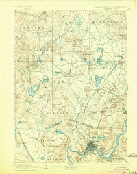
1890 · Haverhill
USGS Topo · 1:62,500

1890 · Newburyport
USGS Topo · 1:62,500

1893 · Lowell
USGS Topo · 1:62,500

1893 · Dover
USGS Topo · 1:62,500