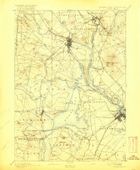
1893 Map of Dover
USGS Topo · Published 1916About this map
Dover serves as the focal point of this late 19th-century survey, situated at the confluence of the Cocheco River and Bellamy River. The landscape is defined by the complex tidal reaches of Great Bay and the Piscataqua River, which forms the Maine-New Hampshire Boundary Line. This era of New Hampshire history is marked by a dense rail infrastructure, with the Western Division Boston and Maine Railroad and the Portsmouth and Dover RR weaving through emerging industrial centers. Significant local hubs like South Berwick and Durham are shown alongside smaller rail stops such as Barrington Station and Kittery Depot. The map also captures the maritime character of the region, noting prominent points like Fox Point and Pierce's Point, and the milling history at Great Works. The topography is precisely rendered, documenting local heights like Garrison Hill and Raitt Hill before modern coastal development altered the landscape.
Find a feature on this map
80 named features on this map. Tap any name to fly to it.
Don’t see what you’re looking for? This feature index may not catch every label — zoom into the map to look around manually.
Map Details
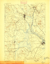
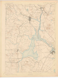
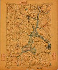
Editions of this 1893 Dover Map
5 editions found
Other maps of this area

1888 · Newburyport
USGS Topo · 1:62,500

1888 · Haverhill
USGS Topo · 1:62,500

1890 · Haverhill
USGS Topo · 1:62,500

1890 · Newburyport
USGS Topo · 1:62,500

1891 · Berwick
USGS Topo · 1:62,500

1891 · Kennebunk
USGS Topo · 1:62,500

1893 · Kennebunk
USGS Topo · 1:62,500

1893 · Dover
USGS Topo · 1:62,500

1893 · Berwick
USGS Topo · 1:62,500

1893 · York
USGS Topo · 1:62,500