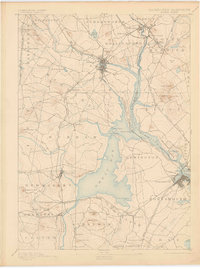
1893 Map of Dover
USGS Topo · Published 1905About this map
Dover and Portsmouth anchor this late-19th-century landscape where tidal rivers and complex rail networks intersect at the Maine-New Hampshire Boundary Line. The map reveals a highly connected maritime and industrial corridor, centered on the expansive waters of Great Bay and the confluence of the Cocheco River and Piscataqua River. This survey captures the region before modern highway development, highlighting the reliance on water-level routes for both the numerous rail lines and early settlements. Notable rail junctions like Conway Junction and South Newmarket Junction underscore the area's role as a transportation hub. Inland, family-named landmarks such as Garrison Hill and Jewett Hill overlook a patchwork of townships including Madbury, Durham, and Eliot, reflecting the deep-rooted agricultural and milling history of the Piscataqua basin.
Find a feature on this map
81 named features on this map. Tap any name to fly to it.
Don’t see what you’re looking for? This feature index may not catch every label — zoom into the map to look around manually.
Map Details
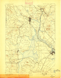
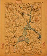
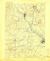
Editions of this 1893 Dover Map
5 editions found
Other maps of this area

1888 · Newburyport
USGS Topo · 1:62,500

1888 · Haverhill
USGS Topo · 1:62,500

1890 · Haverhill
USGS Topo · 1:62,500

1890 · Newburyport
USGS Topo · 1:62,500

1891 · Berwick
USGS Topo · 1:62,500

1891 · Kennebunk
USGS Topo · 1:62,500

1893 · Kennebunk
USGS Topo · 1:62,500

1893 · Dover
USGS Topo · 1:62,500

1893 · Berwick
USGS Topo · 1:62,500

1893 · York
USGS Topo · 1:62,500